MyTopo
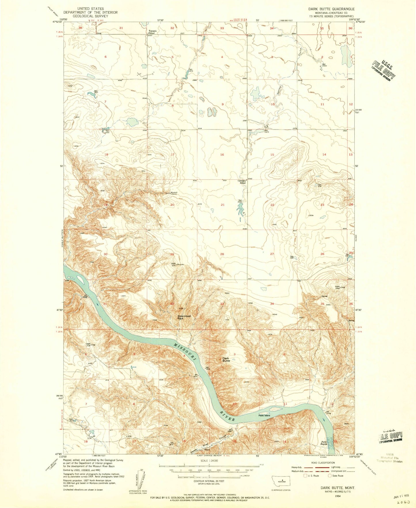
Classic USGS Dark Butte Montana 7.5'x7.5' Topo Map
Regular price
$16.95
Regular price
Sale price
$16.95
Unit price
per
Couldn't load pickup availability
Historical USGS topographic quad map of Dark Butte in the state of Montana. Typical map scale is 1:24,000, but may vary for certain years, if available. Print size: 24" x 27"
This quadrangle is in the following counties: Chouteau.
The map contains contour lines, roads, rivers, towns, and lakes. Printed on high-quality waterproof paper with UV fade-resistant inks, and shipped rolled.
Contains the following named places: Cantigny School (historical), Dark Butte, Pablo Island, Pablo Rapids, Sheep Shed Coulee, Steamboat Rock, Tuscania School (historical), Eagle Eyes Dam, Pluto Dam, Circut Breaker Dam, 23N14E18ABBD01 Well, 24N14E20BDAA01 Well