MyTopo
Classic USGS Darlington Indiana 7.5'x7.5' Topo Map
Couldn't load pickup availability
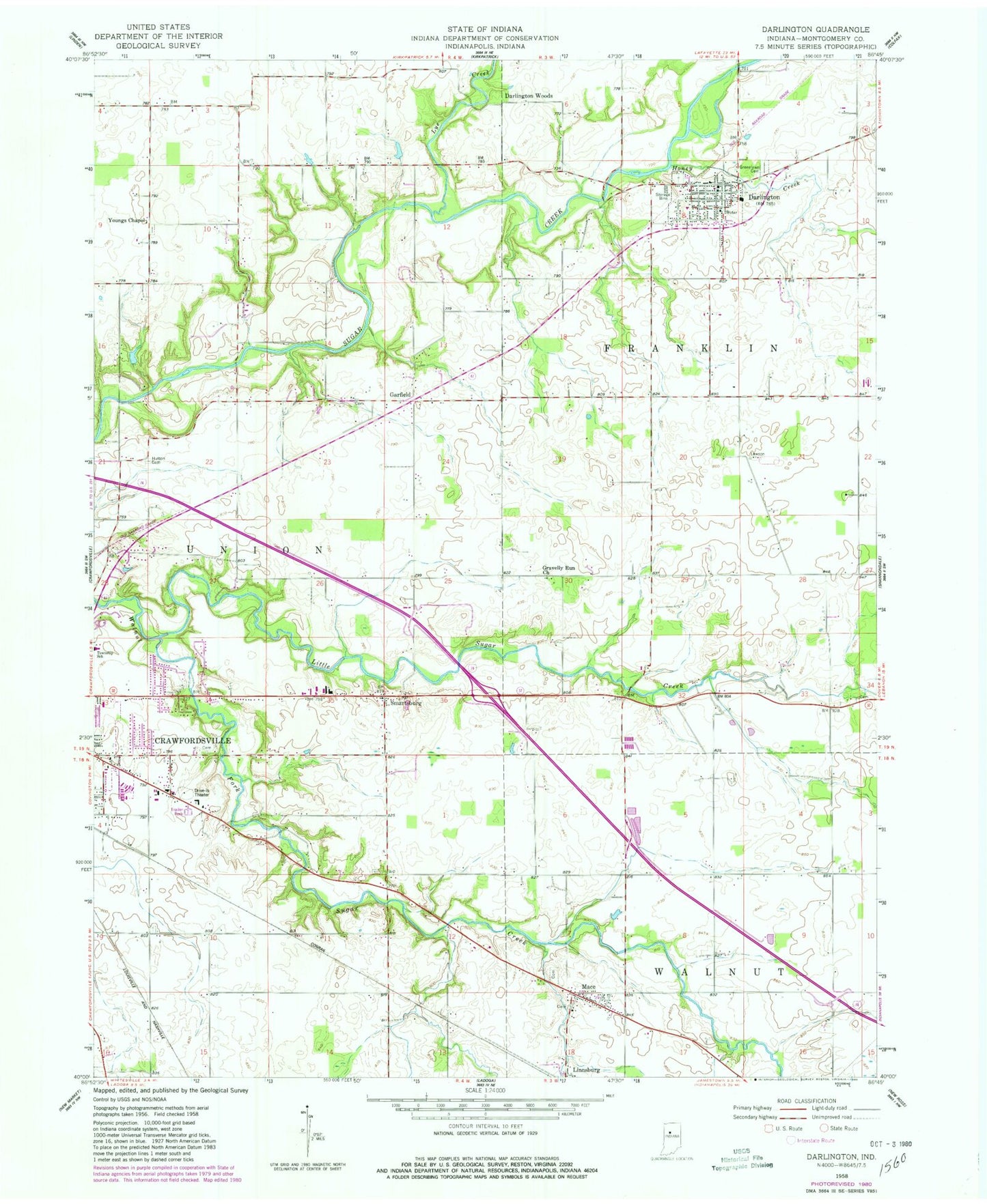
Historical USGS topographic quad map of Darlington in the state of Indiana. Map scale may vary for some years, but is generally around 1:24,000. Print size is approximately 24" x 27"
This quadrangle is in the following counties: Montgomery.
The map contains contour lines, roads, rivers, towns, and lakes. Printed on high-quality waterproof paper with UV fade-resistant inks, and shipped rolled.
Contains the following named places: Crawfordsville, Darlington, Darlington Fire Department, Darlington Post Office, Darlington Woods, Garfield, Gravelly Run Church, Greenlawn Cemetery, Honey Creek, Hutton Cemetery, Linnsburg, Little Sugar Creek, Lye Creek, Mace, Ropkey Field, Smartsburg, Town of Darlington, Township of Franklin, Youngs Chapel