MyTopo
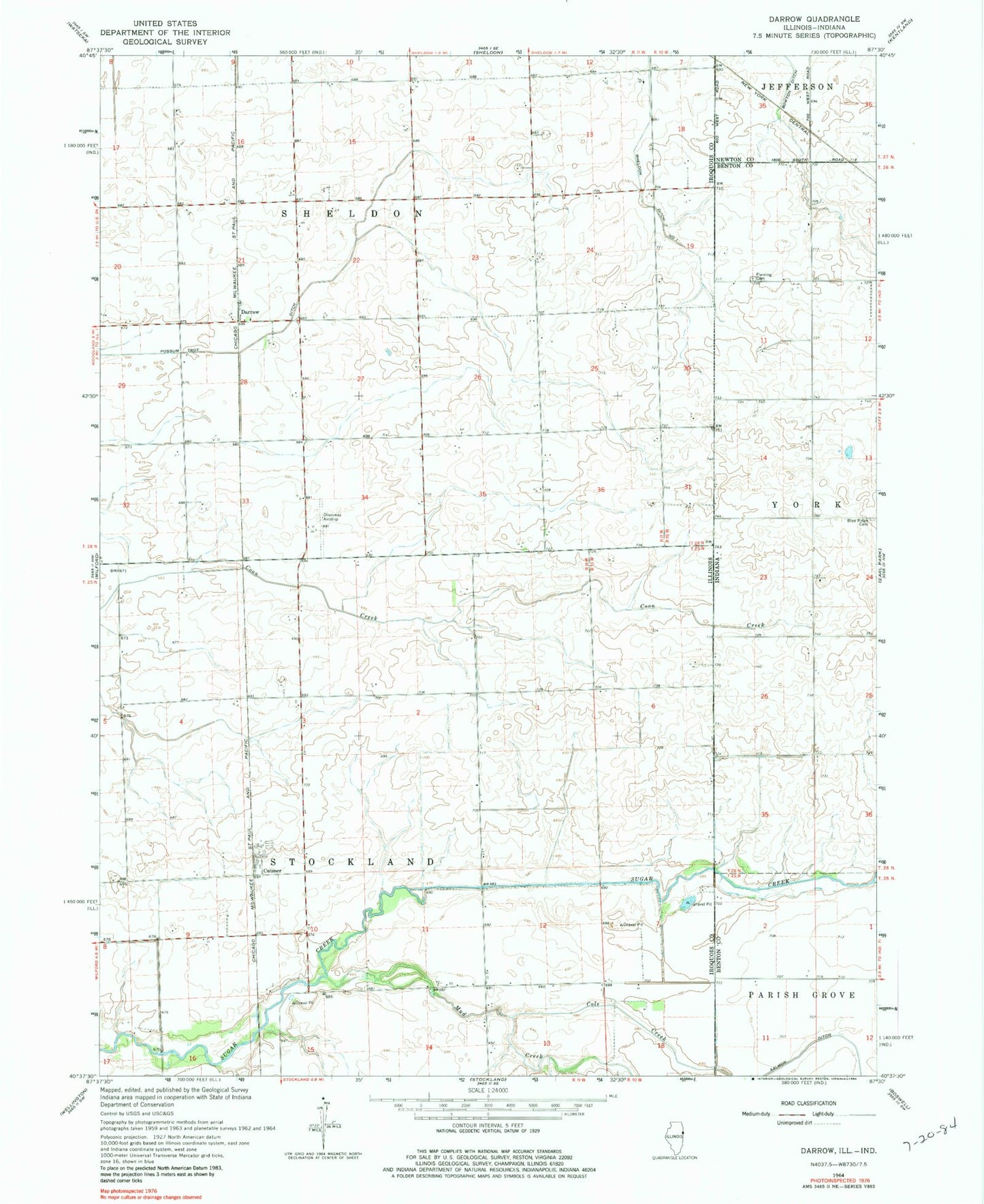
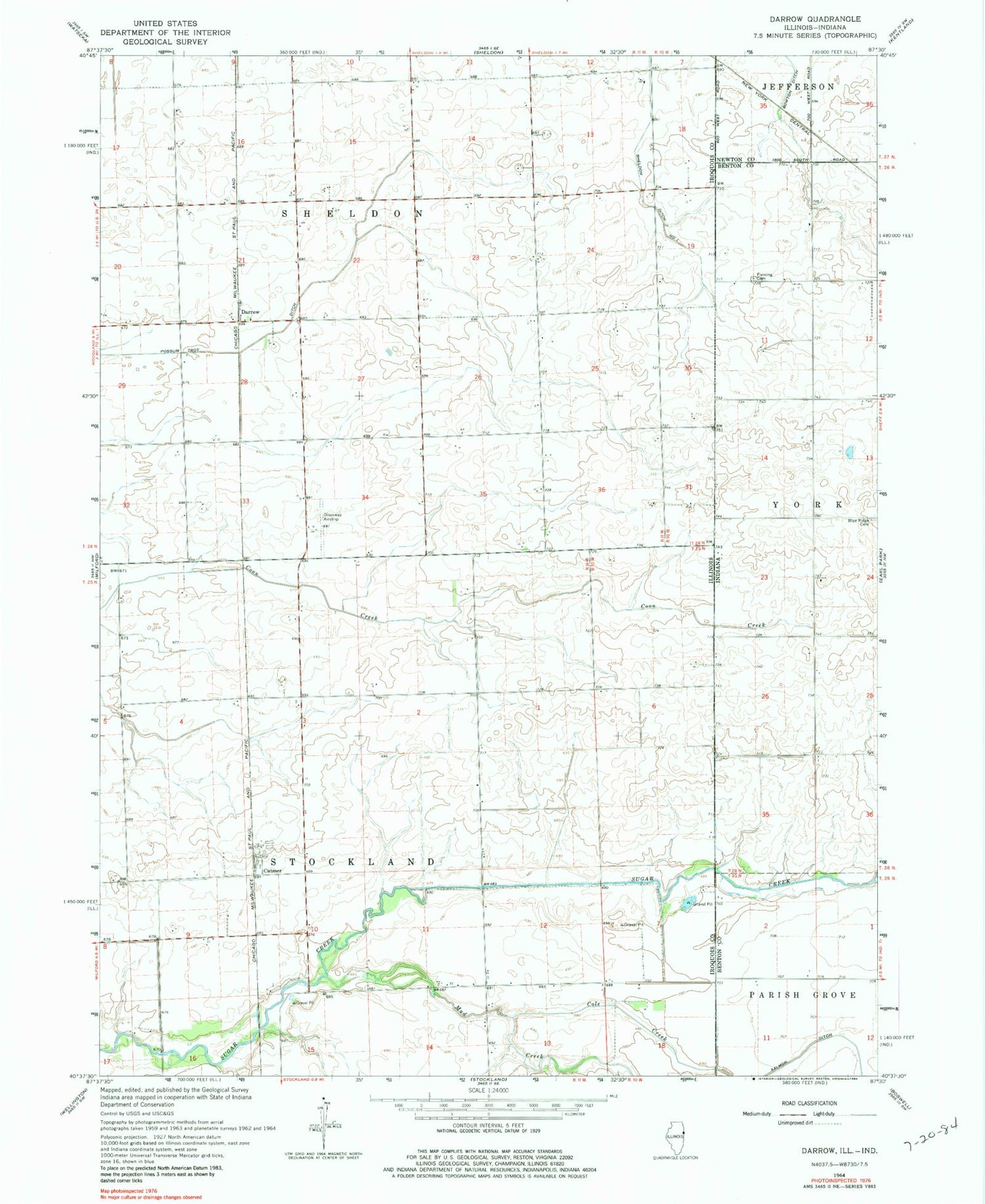
Classic USGS Darrow Illinois 7.5'x7.5' Topo Map
Couldn't load pickup availability
Historical USGS topographic quad map of Darrow in the states of Illinois, Indiana. Map scale may vary for some years, but is generally around 1:24,000. Print size is approximately 24" x 27"
This quadrangle is in the following counties: Benton, Iroquois, Newton.
The map contains contour lines, roads, rivers, towns, and lakes. Printed on high-quality waterproof paper with UV fade-resistant inks, and shipped rolled.
Contains the following named places: Amos School, Blue Ridge Cemetery, Centerville School, Cole Creek, Corlett School, Cutmer, Darrow, Disosway Airport, Fleming Cemetery, Herman School, Mitchell School, Mud Creek, Pleasant Hill School, Possum Trot Ditch, Township of Sheldon, Township of Stockland, Willow Grove School