MyTopo
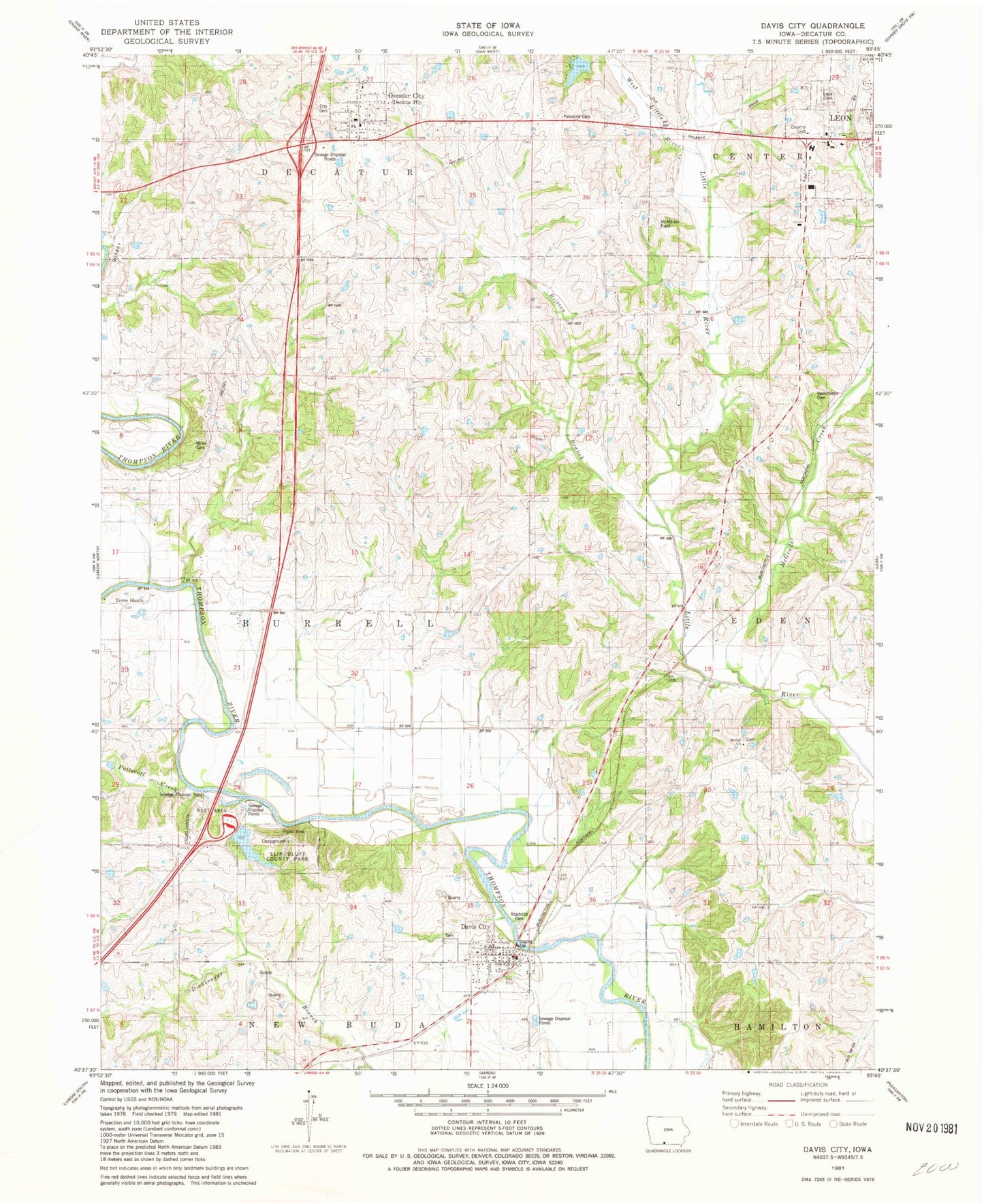
Classic USGS Davis City Iowa 7.5'x7.5' Topo Map
Couldn't load pickup availability
Historical USGS topographic quad map of Davis City in the state of Iowa. Map scale may vary for some years, but is generally around 1:24,000. Print size is approximately 24" x 27"
This quadrangle is in the following counties: Decatur.
The map contains contour lines, roads, rivers, towns, and lakes. Printed on high-quality waterproof paper with UV fade-resistant inks, and shipped rolled.
Contains the following named places: Assembly of God Church, Barrell, Bethel Cemetery, Bethel Church, Blockly, Blockly Post Office, Boswell Brothers Elevator, Britton Branch, Burrell Post Office, Chase Cemetery, Church of Christ, City of Davis City, City of Decatur City, City of Leon, Davis City, Davis City Cemetery, Davis City City Hall, Davis City Fire Department, Davis City Post Office, Decatur City, Decatur City Cemetery, Decatur City Hall, Decatur County, Decatur County Golf and Country Club, Decatur Elementary School, Decatur Post Office, Decatur Quarry, Decatur Rest Area, Gore Cemetery, Kirkwood, Leon Cemetery, Little River Scenic Nature Trail, Manchester Cemetery, McGruder Creek, McMillian Field, Miller Cemetery, New Life Full Gospel Church, Our Saviors Lutheran Church, Palestine Cemetery, Potteroff Creek, Reorganized Church of Jesus Christ of Latter Day Saints, Slip Bluff County Park, Slip Bluff Lake, Terre Haute, Terre Haute Post Office, The Mormon Trail State Historical Marker, Township of Burrell, Waller Cemetery, West Little River, Westview Acres Care Center, ZIP Code: 50067


