MyTopo
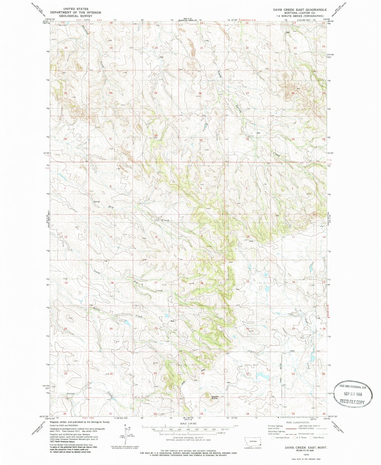
Classic USGS Davis Creek East Montana 7.5'x7.5' Topo Map
Regular price
$16.95
Regular price
Sale price
$16.95
Unit price
per
Couldn't load pickup availability
Historical USGS topographic quad map of Davis Creek East in the state of Montana. Map scale may vary for some years, but is generally around 1:24,000. Print size is approximately 24" x 27"
This quadrangle is in the following counties: Carter.
The map contains contour lines, roads, rivers, towns, and lakes. Printed on high-quality waterproof paper with UV fade-resistant inks, and shipped rolled.
Contains the following named places: 01S56E30DDBA01 Well, 01S56E33DCC_01 Well, 01S56E36CBCB01 Well, 02S55E12C___01 Well, 02S56E20ADD_01 Well, 02S56E28ABAA01 Well, Saddle Butte