MyTopo
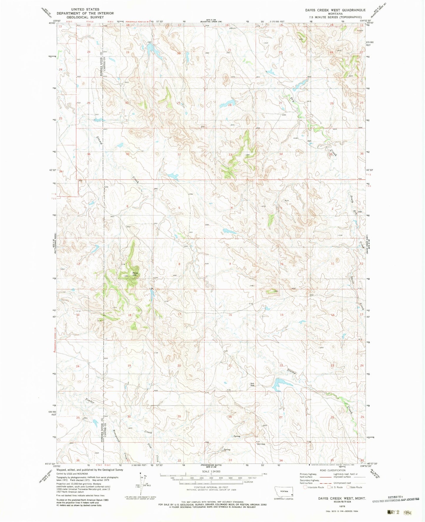
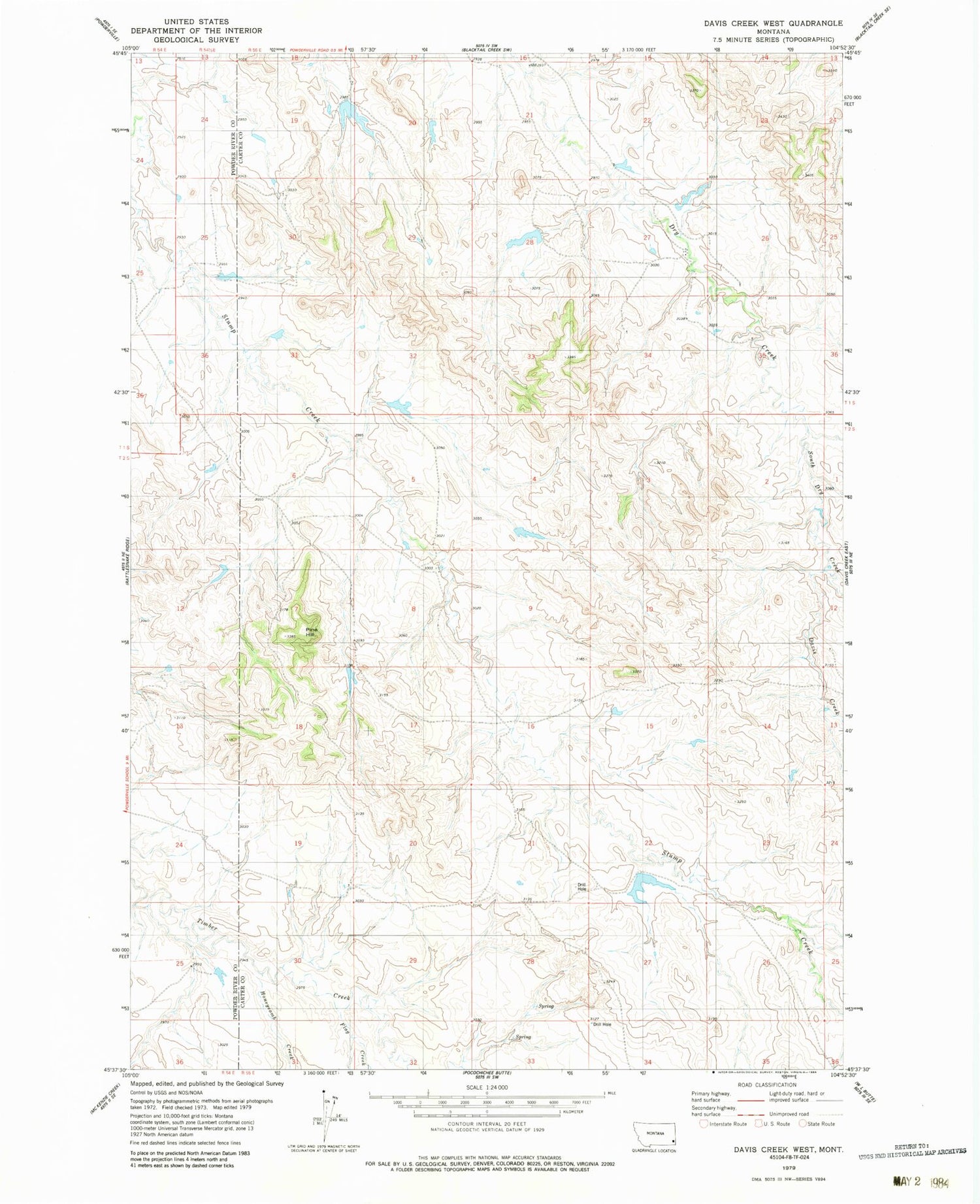
Classic USGS Davis Creek West Montana 7.5'x7.5' Topo Map
Regular price
$16.95
Regular price
Sale price
$16.95
Unit price
per
Couldn't load pickup availability
Historical USGS topographic quad map of Davis Creek West in the state of Montana. Map scale may vary for some years, but is generally around 1:24,000. Print size is approximately 24" x 27"
This quadrangle is in the following counties: Carter, Powder River.
The map contains contour lines, roads, rivers, towns, and lakes. Printed on high-quality waterproof paper with UV fade-resistant inks, and shipped rolled.
Contains the following named places: 01S55E27CBA_01 Well, 01S55E29DBBA01 Well, 02S54E01DC_001 Well, 05S54E13BCBA01 Well, Davis Creek, Flag Creek, Harkin Dam, Honeycomb Creek, Pine Hill, South Dry Creek