MyTopo
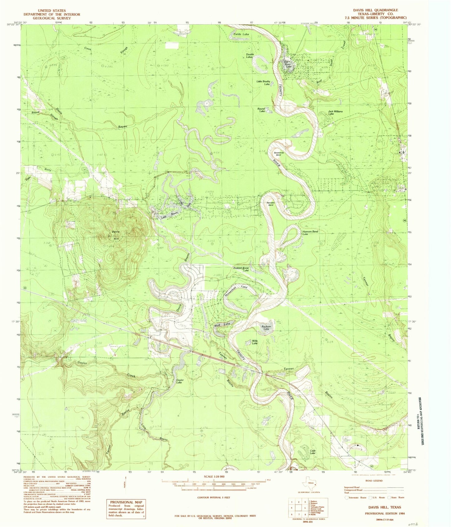
Classic USGS Davis Hill Texas 7.5'x7.5' Topo Map
Couldn't load pickup availability
Historical USGS topographic quad map of Davis Hill in the state of Texas. Typical map scale is 1:24,000, but may vary for certain years, if available. Print size: 24" x 27"
This quadrangle is in the following counties: Liberty.
The map contains contour lines, roads, rivers, towns, and lakes. Printed on high-quality waterproof paper with UV fade-resistant inks, and shipped rolled.
Contains the following named places: Buzzard Roost Lake, Cade Lake, Davis Hill, Deer Gully, Double Lakes, Fields Lake, Gaylor Creek, Gaylor Lake, Hanners Bend, Hanners Bend Lake, Horseshoe Lake, Jack Williams Lake, Little Brushy Lake, Mud Lake, Old River Lake, Rayburn Lake, Round Lake, Sevenmile Bend, Willis Lake, Beef Head Creek, Board Slough, Hollins Lake, Lake Bowie, Lake Sam, Tanners Bluff, Coushatta Village, Grand Cane, Franklin, Jacob Settlement, Bledsoe Creek (historical), Davis Bayou, Sam Houston, Trinity River Lake Estates, Cypress Lake Dam, Cypress Lake, Hardin-Rye Division, Davis Hill State Park, Trinity River National Wildlife Refuge


