MyTopo
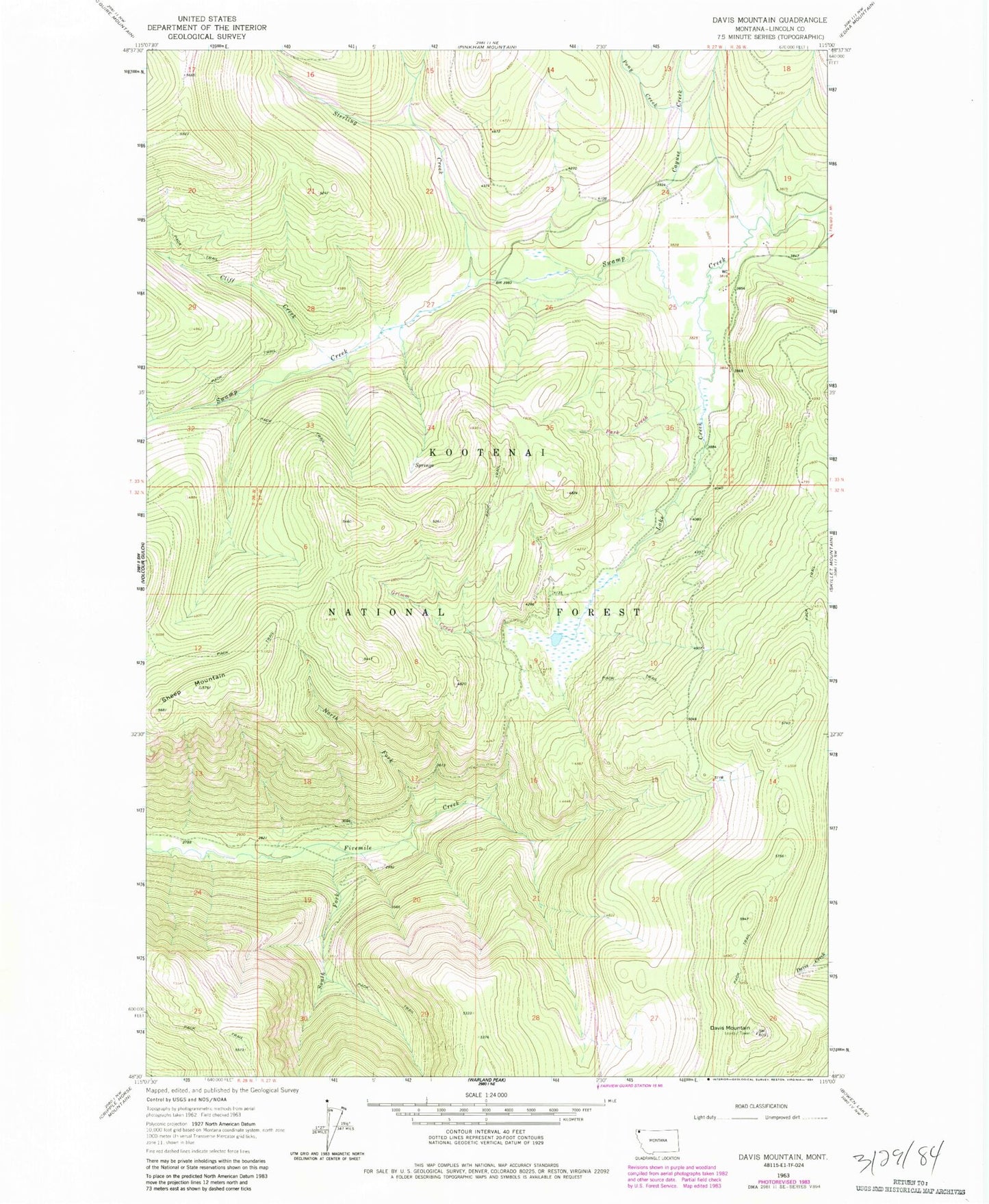
Classic USGS Davis Mountain Montana 7.5'x7.5' Topo Map
Regular price
$16.95
Regular price
Sale price
$16.95
Unit price
per
Couldn't load pickup availability
Historical USGS topographic quad map of Davis Mountain in the state of Montana. Map scale may vary for some years, but is generally around 1:24,000. Print size is approximately 24" x 27"
This quadrangle is in the following counties: Lincoln.
The map contains contour lines, roads, rivers, towns, and lakes. Printed on high-quality waterproof paper with UV fade-resistant inks, and shipped rolled.
Contains the following named places: 33N26W30ABAB01 Well, Cayuse Creek, Cliff Creek, Davis Mountain, Grimm Creek, Lake Creek, North Fork Fivemile Creek, Park Creek, Pony Creek, Sheep Mountain, South Fork Fivemile Creek, Sterling Creek