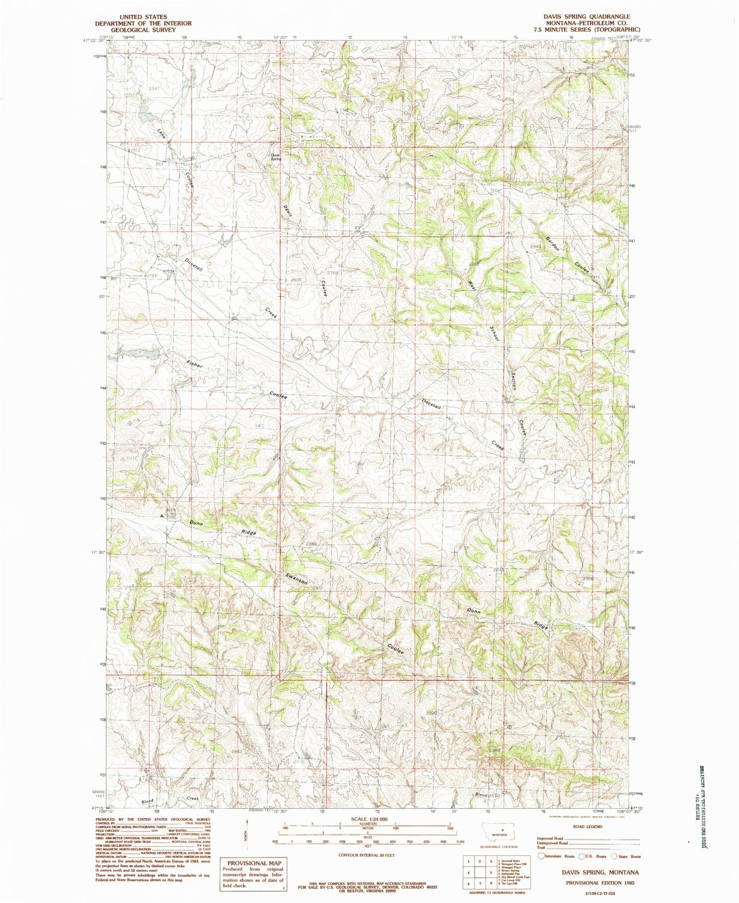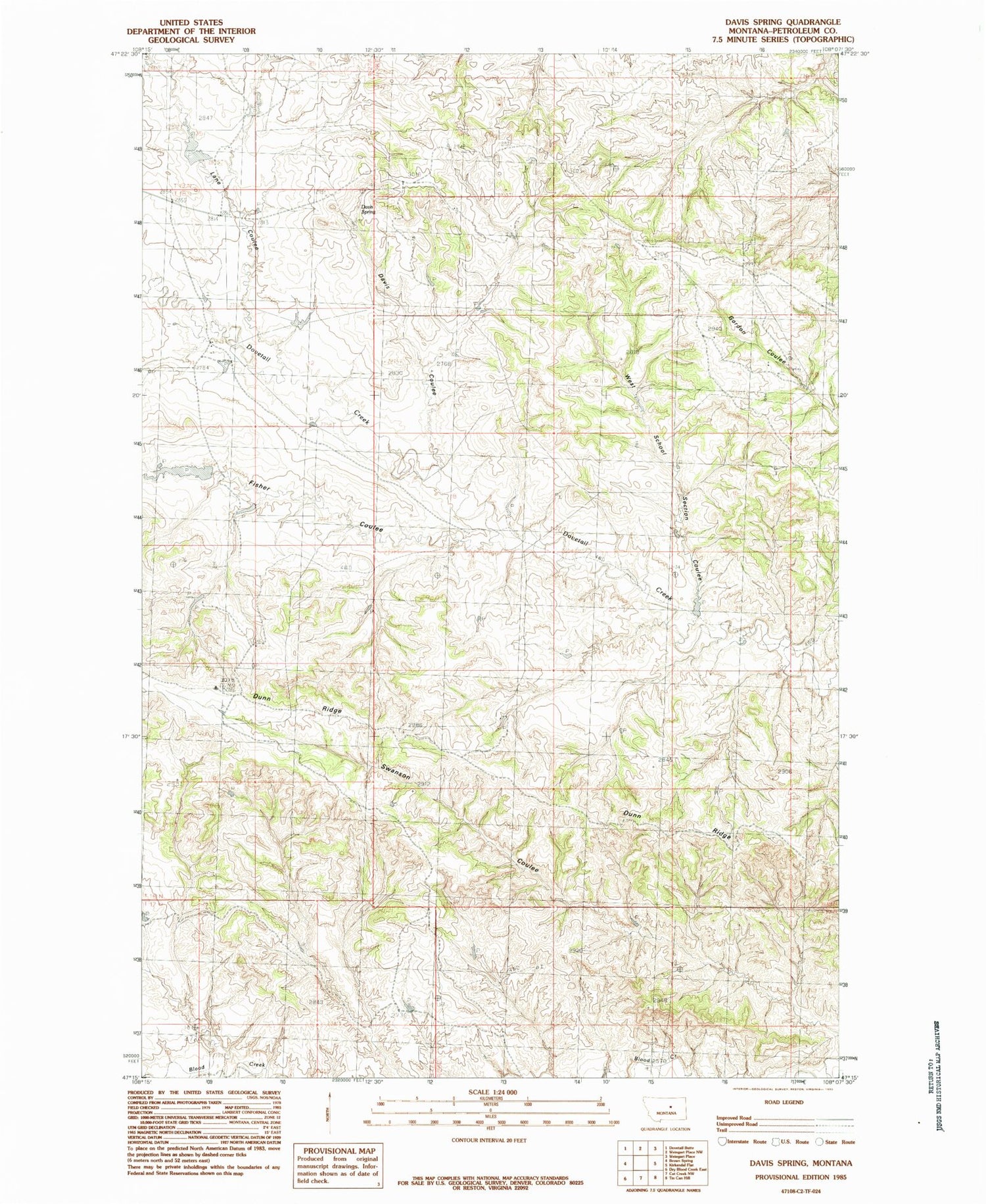
MyTopo
Classic USGS Davis Spring Montana 7.5'x7.5' Topo Map
Regular price
$16.95
Regular price
Sale price
$16.95
Unit price
per
Couldn't load pickup availability
Historical USGS topographic quad map of Davis Spring in the state of Montana. Map scale may vary for some years, but is generally around 1:24,000. Print size is approximately 24" x 27"
This quadrangle is in the following counties: Petroleum.
The map contains contour lines, roads, rivers, towns, and lakes. Printed on high-quality waterproof paper with UV fade-resistant inks, and shipped rolled.
Contains the following named places: 18N27E11BAC_01 Well, Carrell School, Davis Coulee, Davis Spring, Dovetail, Dovetail Number 1 Dam, Dovetail Post Office, Dunn Ridge, Fisher Coulee, Franklin School, Lane Coulee, Rigg School, West School Section Coulee, Winnett North Division