MyTopo
Classic USGS Davis California 7.5'x7.5' Topo Map
Couldn't load pickup availability
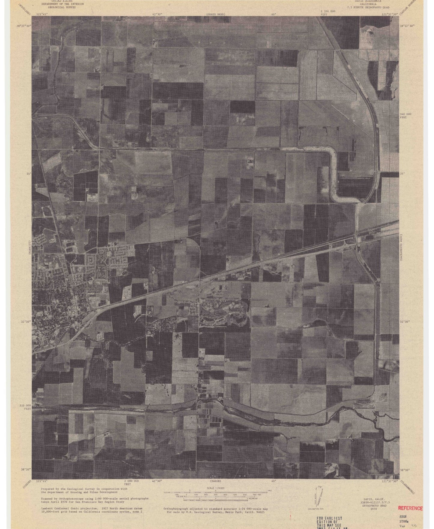
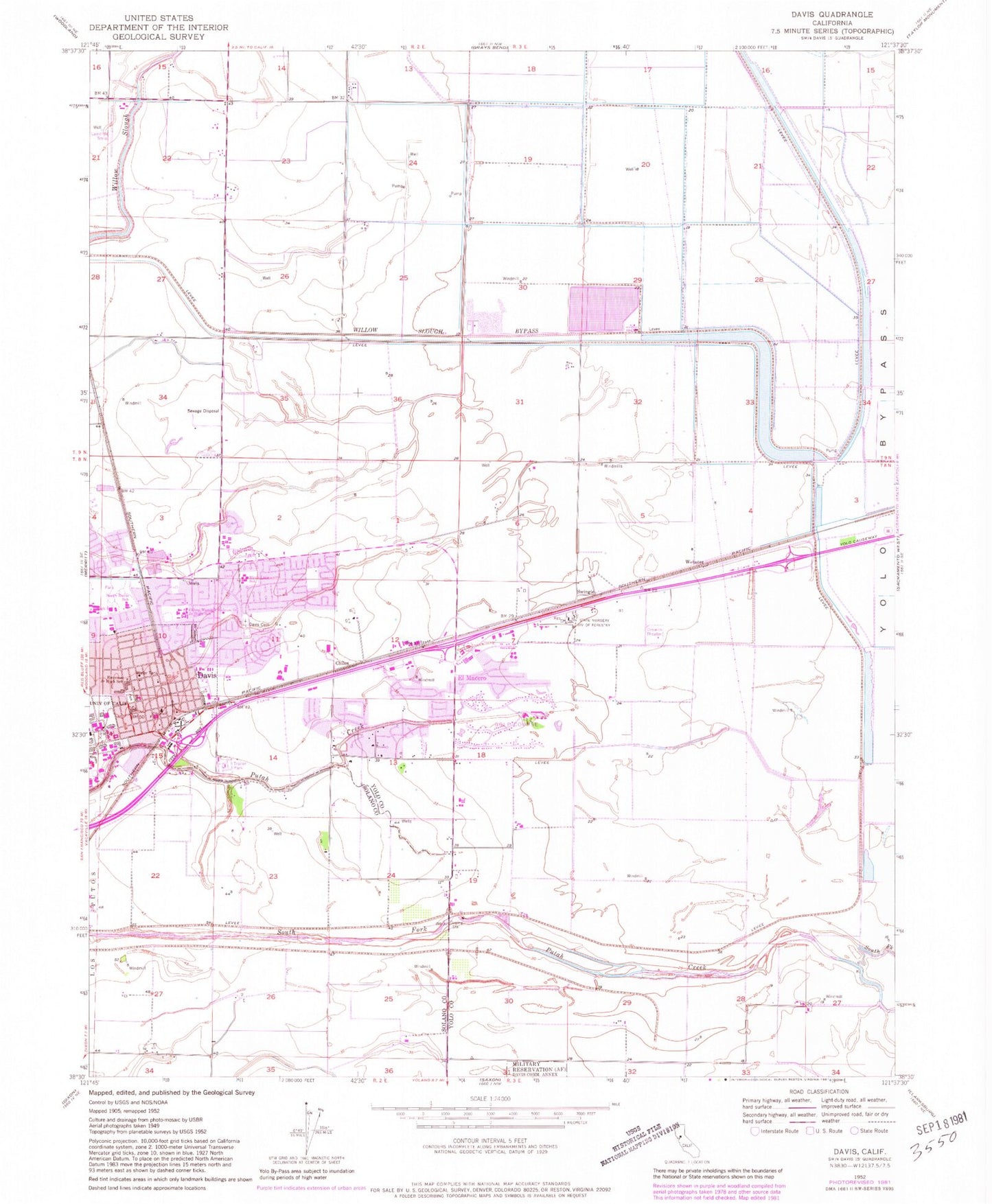
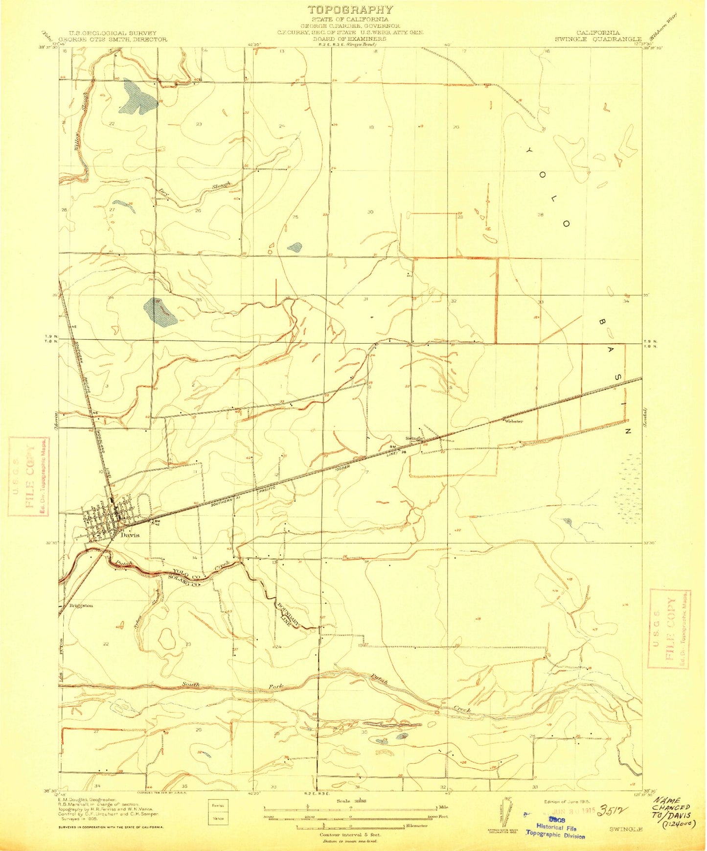
Historical USGS topographic quad map of Davis in the state of California. Map scale may vary for some years, but is generally around 1:24,000. Print size is approximately 24" x 27"
This quadrangle is in the following counties: Solano, Yolo.
The map contains contour lines, roads, rivers, towns, and lakes. Printed on high-quality waterproof paper with UV fade-resistant inks, and shipped rolled.
Contains the following named places: A Street Intramural Field, Birch Lane Elementary School, Briggston, Buehler Alumni-Visitors Center, Cedar Park, Central Park, Chestnut Park, City of Davis, Civic Center Park, Community Park, Covell Park, Davis, Davis Branch Yolo County Library, Davis Cemetery District and Arboretum, Davis Division, Davis Fire Department Station 31, Davis Fire Department Station 33, Davis Mobile Estates, Davis Police Department, Davis Post Office, Downtown Davis Post Office, Dry Slough, El Macero, El Macero Census Designated Place, El Macero Golf and Country Club, Emerson Junior High School, First Church of Christ Scientist, Hickey Gymnasium, Hill Park, Howard Intramural Field, King Hall, KSFM-FM (Woodland), Lake Spafford, Martin Luther King Junior High School, Medlock Field, Memorial Union, Mrak Hall, North Davis Elementary School, North Hall, O W Holmes Junior High School, Oak Grove Park, Olson Hall, Pioneer Elementary School, Pioneer Park, Play Fields Park, Rancho Yolo Mobile Home Park, Saint James School, Shields Library, South Hall, Sproul Hall, State Nursery Division of Forestry, Swingle, Sykes Slough, Toomey Field, Valley Oak Elementary School, Veterans Memorial Building, Voorhies Hall, Webster, Willow Slough Bypass, Wyatt Pavilion Theatre, Yolo County Central Landfill, Young Hall, ZIP Code: 95618


