MyTopo
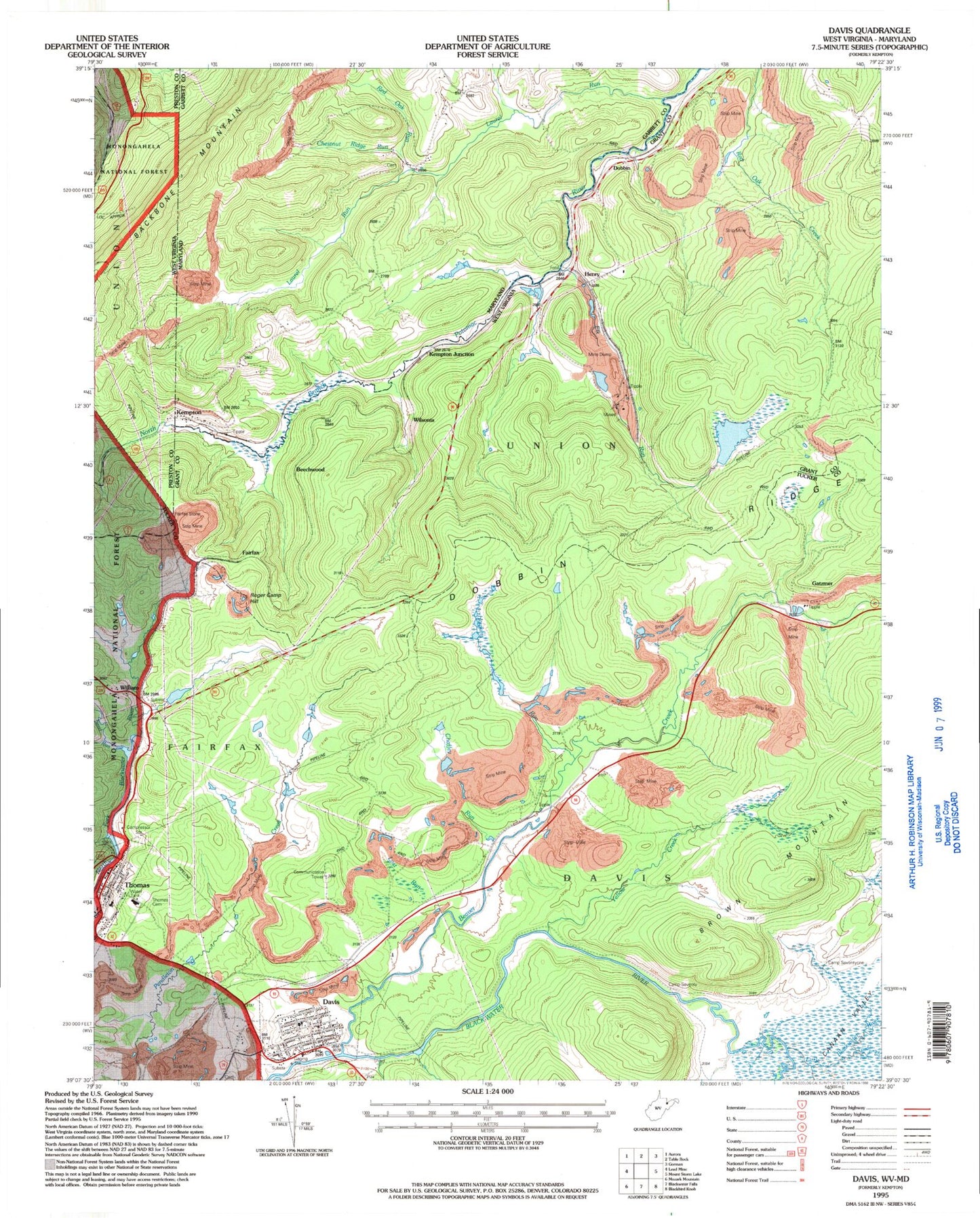
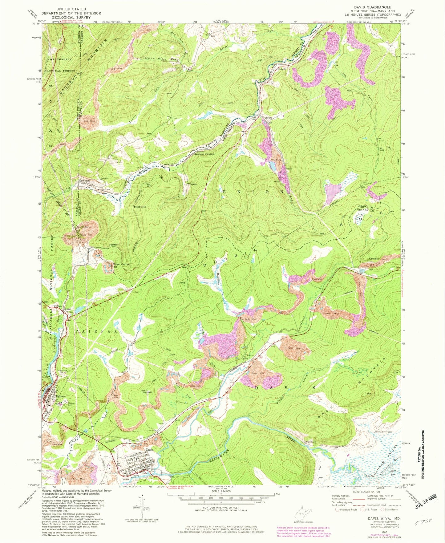
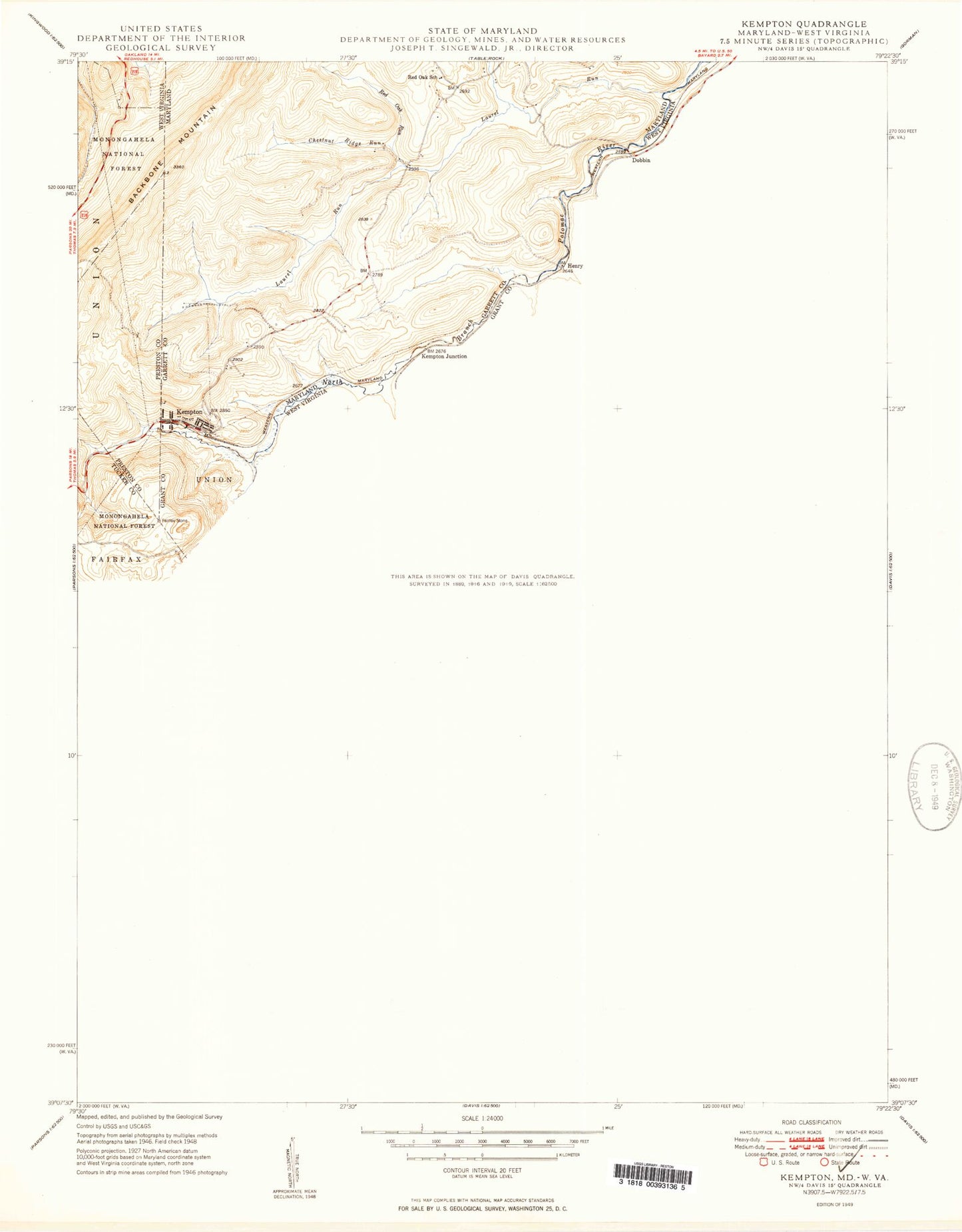
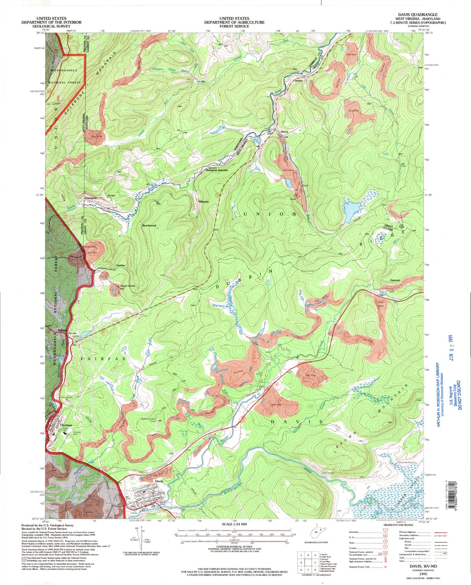
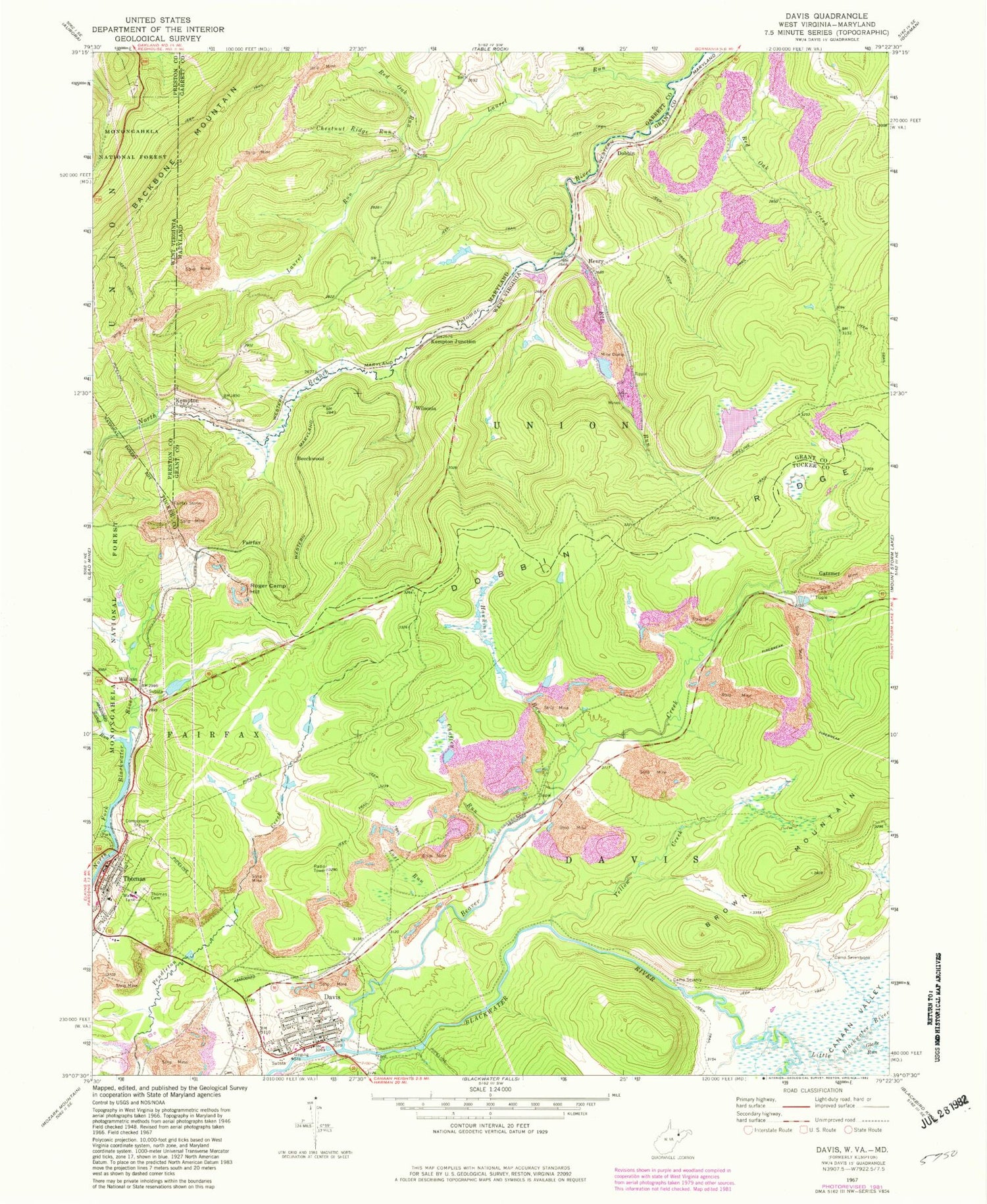
Classic USGS Davis West Virginia 7.5'x7.5' Topo Map
Couldn't load pickup availability
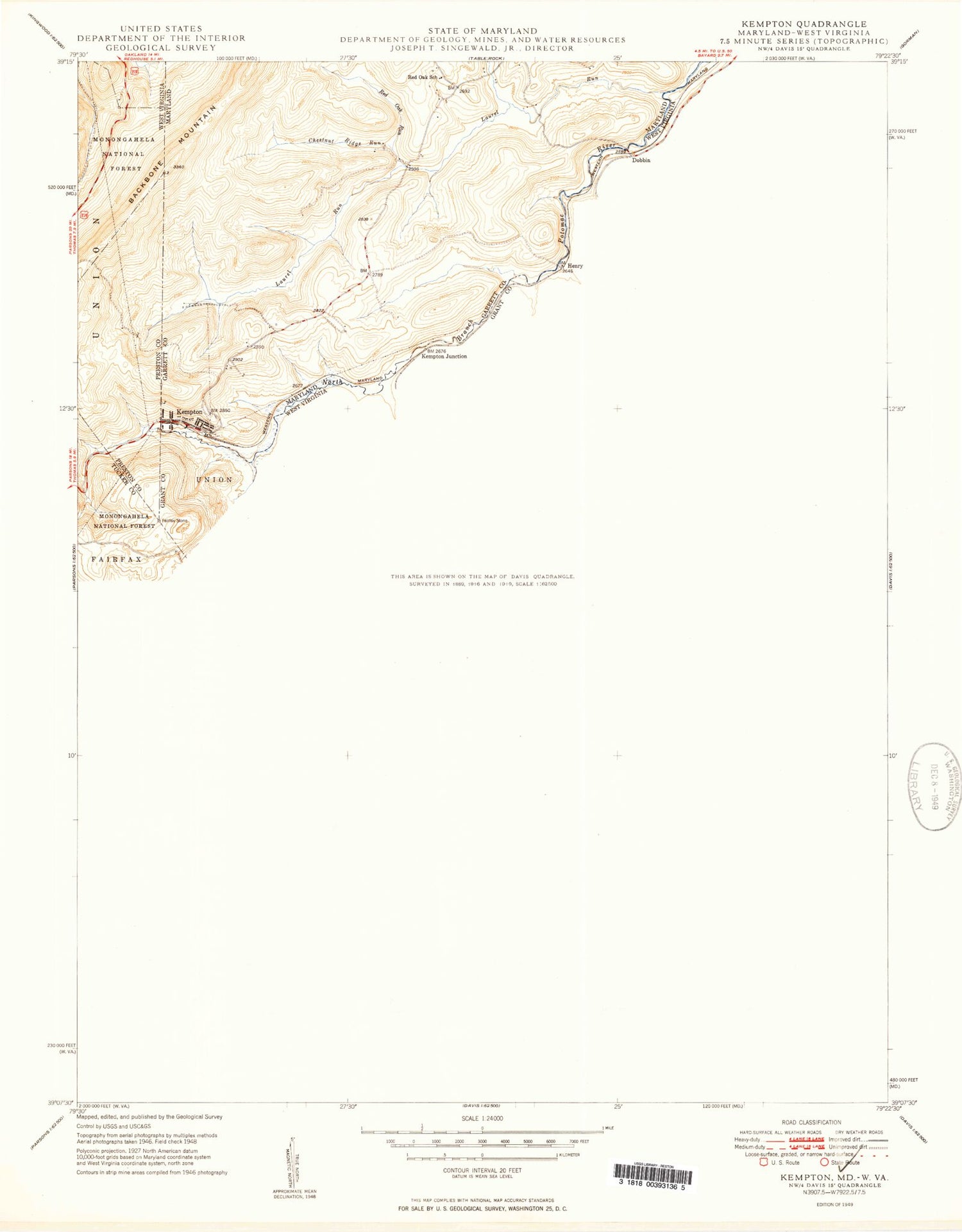
Historical USGS topographic quad map of Davis in the states of West Virginia, Maryland. Map scale may vary for some years, but is generally around 1:24,000. Print size is approximately 24" x 27"
This quadrangle is in the following counties: Garrett, Grant, Preston, Tucker.
The map contains contour lines, roads, rivers, towns, and lakes. Printed on high-quality waterproof paper with UV fade-resistant inks, and shipped rolled.
Contains the following named places: Alldredge Academy, Beaver Creek, Beechwood, Camp Seventy, Camp Seventyone, Chaffey Run, Chestnut Ridge Run, Church of God, City of Thomas, City of Thomas Dam, City of Thomas Reservoir Dam, Clower Run, Davis, Davis District, Davis High School, Davis Methodist Episcopal Church, Davis Post Office, Davis Thomas Elementary Middle School, Davis Town Hall, Davis Volunteer Fire Department, Deakin Run, Devils Run, Dobbin, Elk Run, Elk Run Reservoir, Elk Run Water Supply Dam, Fairfax, Fairfax Stone, Fairfax Stone Historical Monument, Fairfax Stone State Park, Gatzmer, Glade Run, Hawkins Run, Henry, Hoye-Crest, Kempton, Kempton Junction, Kempton Spring, Kenneth Honey Rubenstein Center, Knotts Family Cemetery, Laurel Run, Little Blackwater River, Lost Run, Mountaintop Public Library, Red Oak Run, Roger Camp Hill, Saint Johns Evangelical Lutheran Church, Saint Thomas Roman Catholic Church, Saint Thomas School, Saint Veronica Catholic Church, Sand Run, Sand Run Junction, South Branch Wolf Run, Thomas, Thomas Bridge, Thomas Cemetery, Thomas High School, Thomas Patrick Memorial Bridge, Thomas Post Office, Thomas Town Hall, Thomas Volunteer Fire Department, Town of Davis, Weimer Run, William, Wilsonia, Yellow Creek, ZIP Code: 26707
