MyTopo
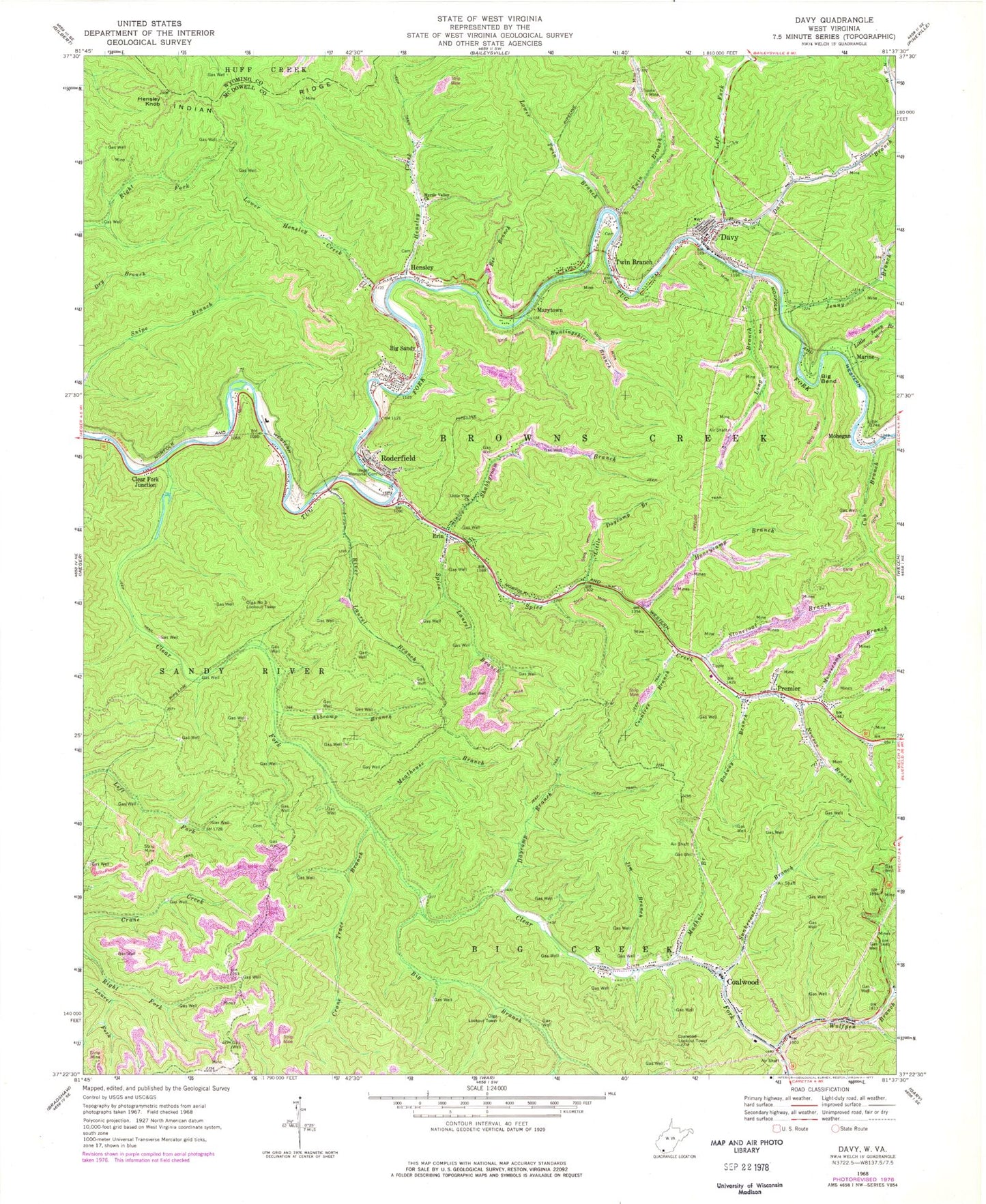
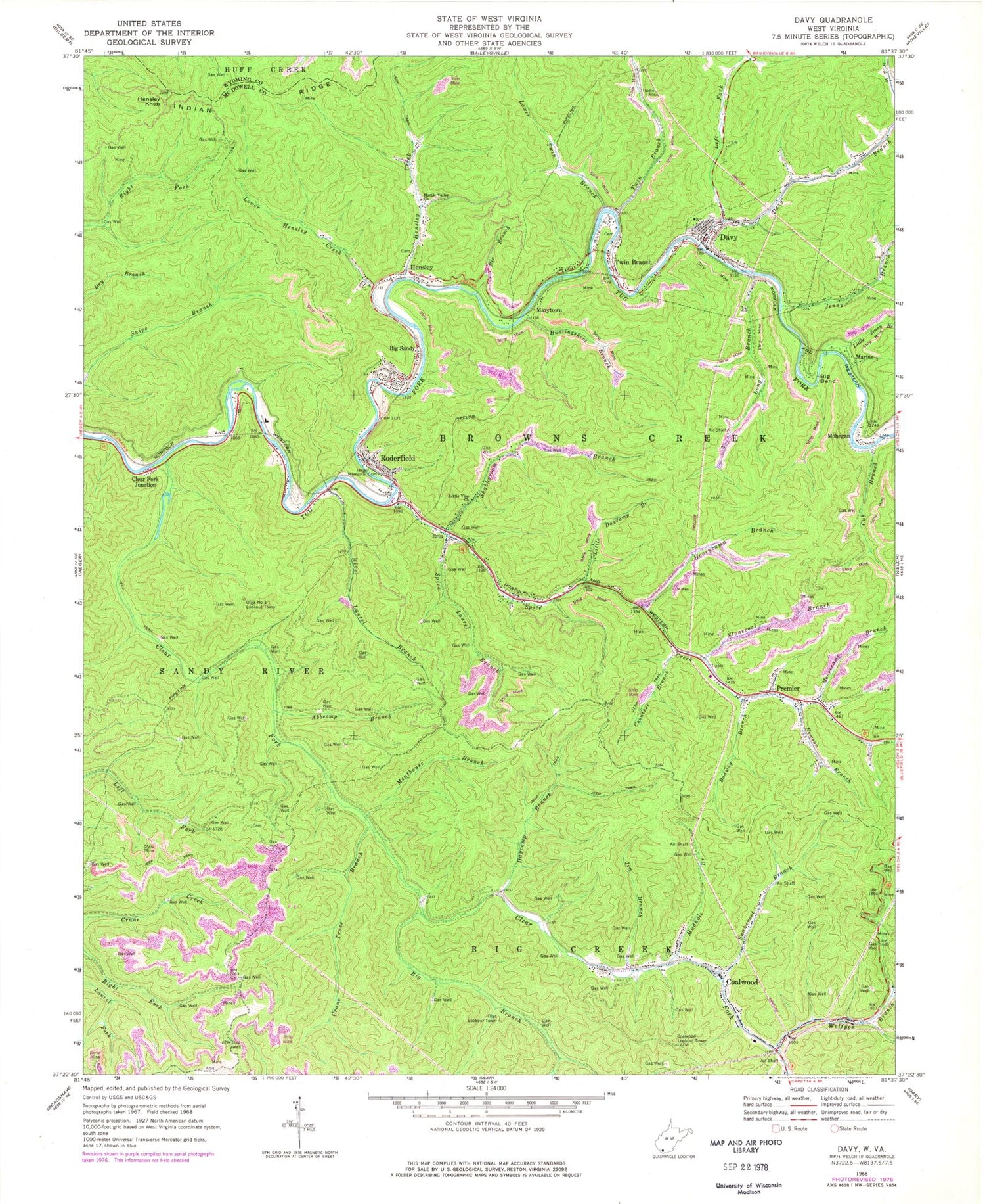
Classic USGS Davy West Virginia 7.5'x7.5' Topo Map
Couldn't load pickup availability
Historical USGS topographic quad map of Davy in the state of West Virginia. Map scale may vary for some years, but is generally around 1:24,000. Print size is approximately 24" x 27"
This quadrangle is in the following counties: McDowell, Wyoming.
The map contains contour lines, roads, rivers, towns, and lakes. Printed on high-quality waterproof paper with UV fade-resistant inks, and shipped rolled.
Contains the following named places: Abbcamp Branch, Badway Branch, Bee Branch, Big Bend, Big Branch, Big Sandy, Big Sandy Census Designated Place, Big Sandy Post Office, Big Sandy Truss Bridge, Clear Fork, Clear Fork Junction, Coalwood, Coalwood - Caretta Volunteer Fire Department, Coalwood Community Church, Coalwood Lookout Tower, Coalwood Post Office, Coon Branch, Coontree Branch, Crane Trace Branch, Cub Branch, Davy, Davy Branch, Davy Police Department, Davy Post Office, Davy Volunteer Fire Department, Daycamp Branch, Erin, Fall River Elementary School, Hensley, Hensley Creek, Hensley Knob, Hensley Post Office, Honeycamp Branch, Huntingshirt Branch, Iaeger Memorial Cemetery, Jenny Branch, Jim Branch, Left Fork Davy Branch, Little Daycamp Branch, Little Jenny Branch, Little Vine Church, Long Branch, Lower Hensley Creek, Lower Twin Branch, Marine, Marytown, McDowell County, Meathouse Branch, Mohegan, Moorecamp Branch, Mudhole Branch, Myrtle Valley Church, Newson Branch, Olga Lookout Tower, Olga Number 3 Lookout Tower, Premier, Premier Post Office, River Laurel Branch, Roderfield, Roderfield Census Designated Place, Roderfield Post Office, Roderfield Volunteer Fire Department, Shabbyroom Branch, Short Branch, Snakeroot Branch, Spice Creek, Spice Laurel Branch, Stonecoal Branch, Town of Davy, Twin Branch, Twin Branch Pentecostal Academy, Twin Branch Pony Truss Number 1 Bridge, Twin Branch Post Office, Twin Branch Truss Number 2 Bridge, Twin Branch Tunnel, Wolfpen Branch, ZIP Codes: 24816, 24828, 24843, 24878, 24881


