
MyTopo
Classic USGS Dawson Crossroads North Carolina 7.5'x7.5' Topo Map
Regular price
$16.95
Regular price
Sale price
$16.95
Unit price
per
Couldn't load pickup availability
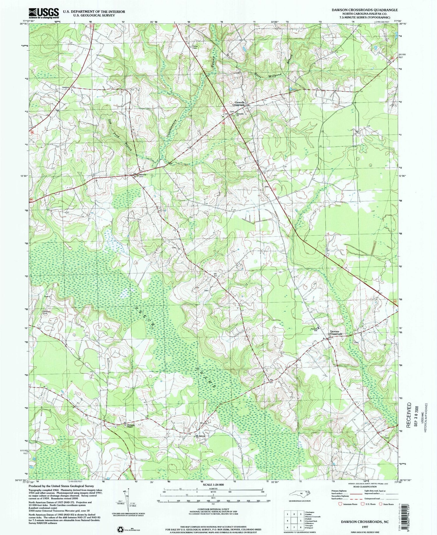
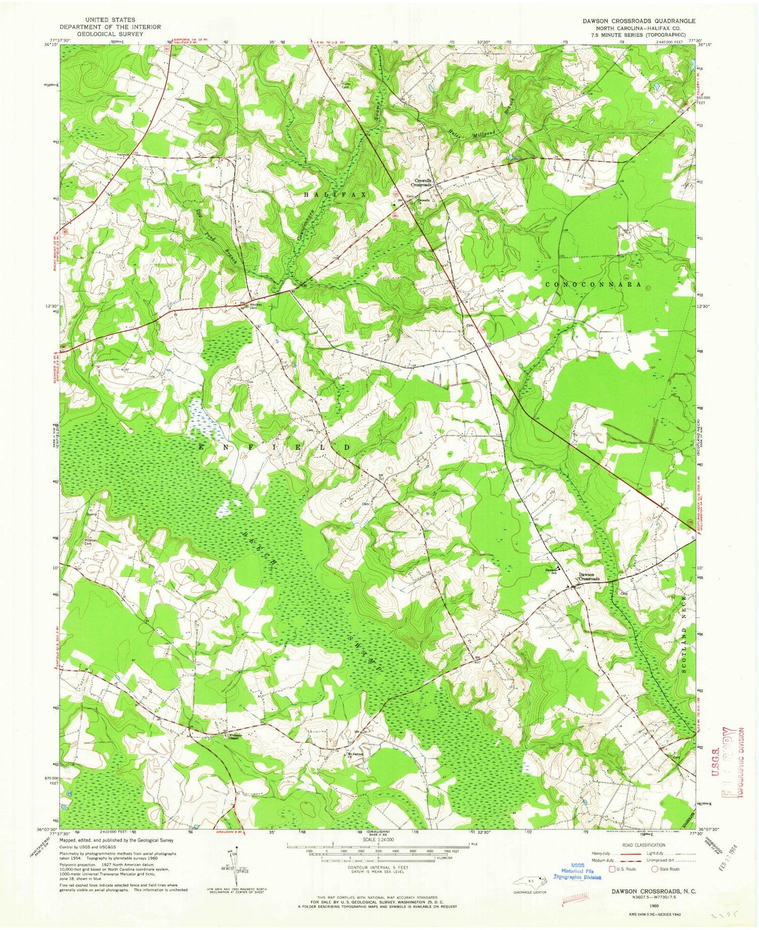
Historical USGS topographic quad map of Dawson Crossroads in the state of North Carolina. Map scale may vary for some years, but is generally around 1:24,000. Print size is approximately 24" x 27"
This quadrangle is in the following counties: Halifax.
The map contains contour lines, roads, rivers, towns, and lakes. Printed on high-quality waterproof paper with UV fade-resistant inks, and shipped rolled.
Contains the following named places: Crowells Church, Crowells Crossroads, Dawson Crossroads, Dawson School, Dunns Store, Dunroamin Farms Airport, Hales Cemetery, Hales Millpond Branch, Mount Calvary Church, Pittman Cemetery, Southeast High School, Westray Cemetery, Whitaker Chapel


