MyTopo
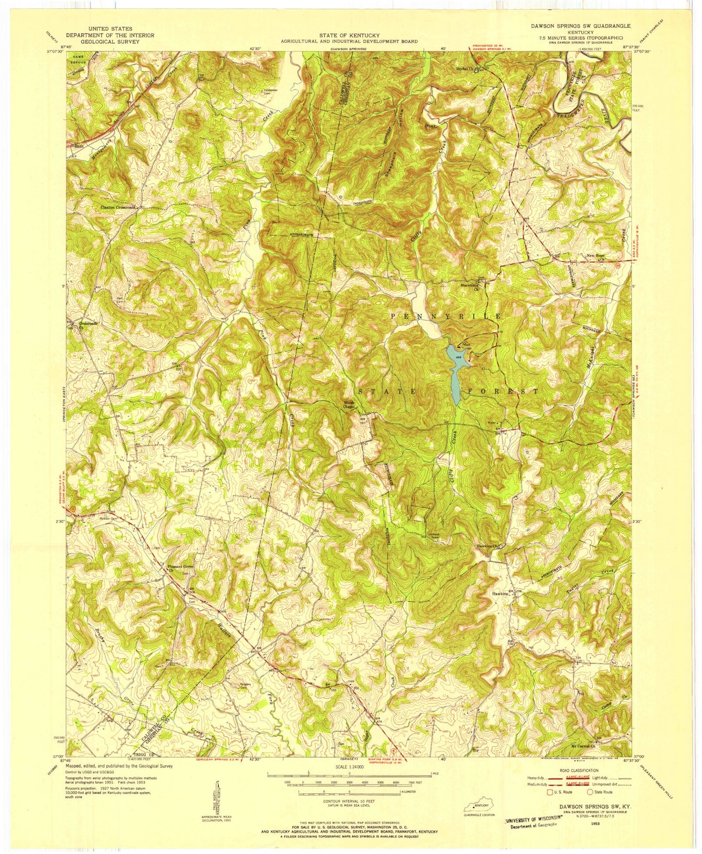
Classic USGS Dawson Springs SW Kentucky 7.5'x7.5' Topo Map
Couldn't load pickup availability
Historical USGS topographic quad map of Dawson Springs SW in the state of Kentucky. Typical map scale is 1:24,000, but may vary for certain years, if available. Print size: 24" x 27"
This quadrangle is in the following counties: Caldwell, Christian, Trigg.
The map contains contour lines, roads, rivers, towns, and lakes. Printed on high-quality waterproof paper with UV fade-resistant inks, and shipped rolled.
Contains the following named places: Lake Beshear, Clifty Creek, Copeland Bluff, Crossroads Christian Church, Flat Knob, Fowler Ridge, Hawkins Church, Irvin Cemetery, Lisanby Ridge, Macedonia Church, McKnight Creek, Mount Carmel United Methodist Church, New Hope Church, Newsom Cemetery, Orange Ridge, Pennyrile Lake, Pennyrile State Forest, Pine Knob, Piney Creek, Pleasant Grove Baptist Church, Rodgers Cemetery, Sheephole Hollow, Shyflat Cemetery, Spring Hollow, Vanhooser Cemetery, Hawkins, Ruth, Pennyrile Forest State Resort Park, Mitchell (historical), Pennyrile Park, Claxton Crossroads (historical)


