MyTopo
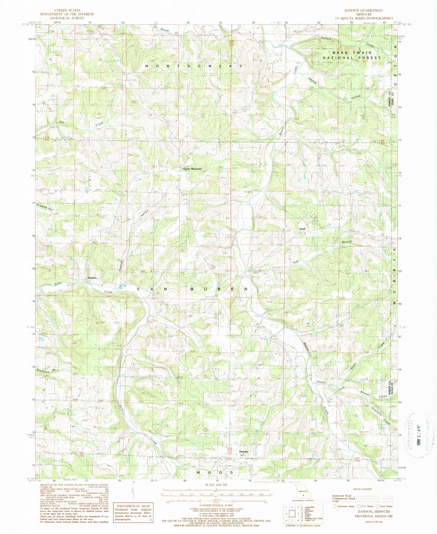
Classic USGS Dawson Missouri 7.5'x7.5' Topo Map
Couldn't load pickup availability
Historical USGS topographic quad map of Dawson in the state of Missouri. Map scale may vary for some years, but is generally around 1:24,000. Print size is approximately 24" x 27"
This quadrangle is in the following counties: Texas, Wright.
The map contains contour lines, roads, rivers, towns, and lakes. Printed on high-quality waterproof paper with UV fade-resistant inks, and shipped rolled.
Contains the following named places: Astoria School, Belly Acres Ranch Airport, Crew School, Dawson, Dawson School, Dean Hollow, Dewey School, Doolittle Creek, Ellis School, Graff, Graff Post Office, Green Forest School, Green Mountain, Green Mountain Cemetery, Hattie Hollow, Hopewell Church, Hopkins Church, Hopkins School, Lawson School, North Fork Beaver Creek, Northern Wright County Volunteer Fire Department, Pollock Creek, Prairie Hollow, Rail, Rayborn, Schoolhouse Hollow, Snyder School, Sugar Creek, Tom Branch, Township of Van Buren, Union Chapel, ZIP Code: 65660