MyTopo
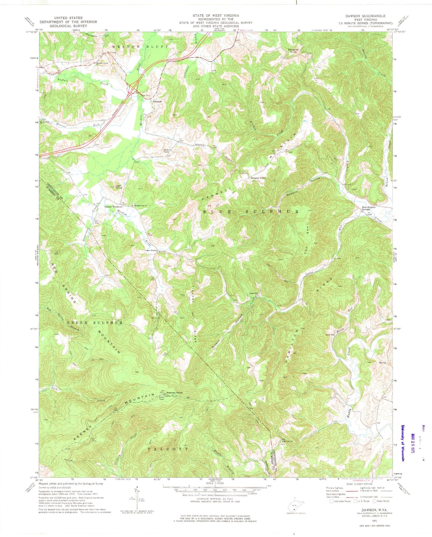
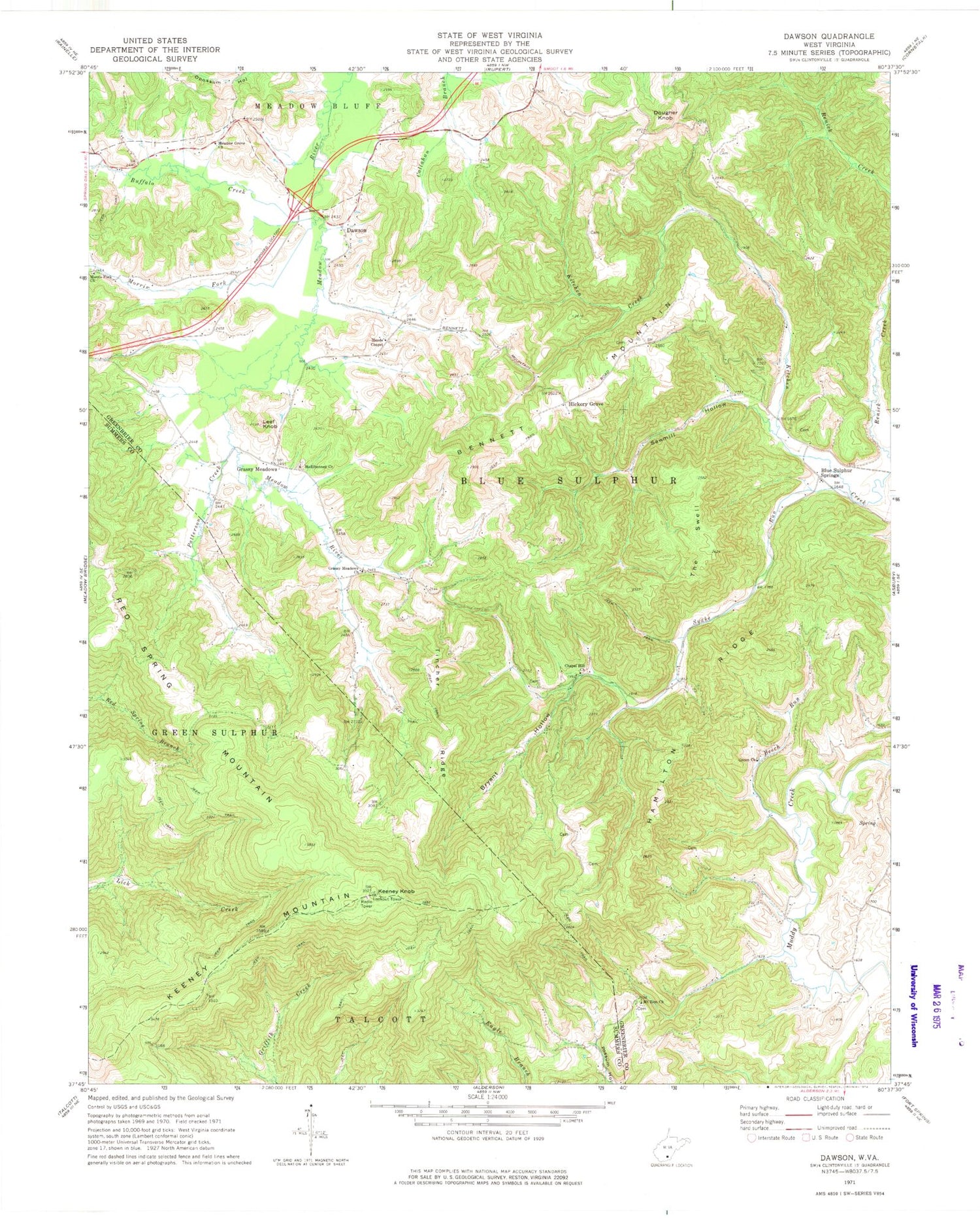
Classic USGS Dawson West Virginia 7.5'x7.5' Topo Map
Couldn't load pickup availability
Historical USGS topographic quad map of Dawson in the state of West Virginia. Typical map scale is 1:24,000, but may vary for certain years, if available. Print size: 24" x 27"
This quadrangle is in the following counties: Fayette, Greenbrier, Summers.
The map contains contour lines, roads, rivers, towns, and lakes. Printed on high-quality waterproof paper with UV fade-resistant inks, and shipped rolled.
Contains the following named places: Beech Run, Bennett Mountain, Bryant Hollow, Buffalo Creek, Chapel Hill Church, Green Church, Hamilton Ridge, Keeney Knob, Keeney Mountain, Leef Knob, Maude Chapel, McElhenney Church, Meadow Grove Baptist Church, Morris Fork, Morris Fork Church, Mount Zion Church, Patterson Creek, Red Spring Mountain, Sawmill Hollow, Snake Run, The Swell, Tincher Ridge, Blue Sulphur Springs, Grassy Meadows, Dougher Knob, Hickory Grove, Sassafras Knob, Cleveland School (historical), Dougher School (historical), Knapp School (historical), Lewis School (historical), McClung School (historical), Mount Vernon School (historical), Pentecostal Church, Sawmill Hollow School (historical), Thompson School (historical), Willard School (historical), Harrison School (historical), Keeney Mountain Lookout Tower, Patterson Creek School (historical), Blue Sulphur Spring, Robert Bennett Spring, Blue Sulphur Springs Junior High School (historical), Dawson, Grassy Meadows Post Office, Richardson Cemetery, Smoot Volunteer Fire Department


