MyTopo
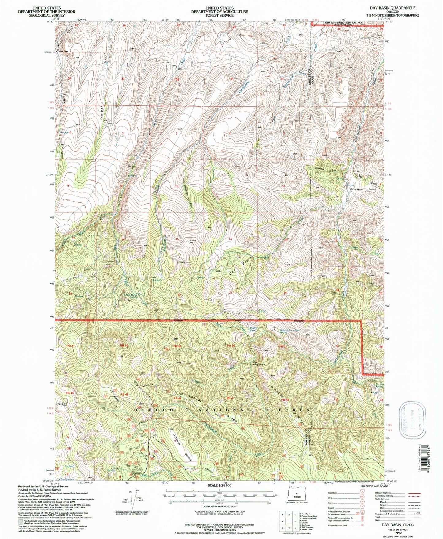
Classic USGS Day Basin Oregon 7.5'x7.5' Topo Map
Couldn't load pickup availability
Historical USGS topographic quad map of Day Basin in the state of Oregon. Map scale may vary for some years, but is generally around 1:24,000. Print size is approximately 24" x 27"
This quadrangle is in the following counties: Grant, Wheeler.
The map contains contour lines, roads, rivers, towns, and lakes. Printed on high-quality waterproof paper with UV fade-resistant inks, and shipped rolled.
Contains the following named places: A and M Ridge, Back Creek, Barite Post Office, Big Bedground, Black Canyon Camp, Breathing Spring, China Camp Spring, Cottonwood Basin, Cougar Creek, Cougar Ridge, Day Basin, Day Creek, Dyke Creek, East Birch Creek, East Fork Cottonwood Creek, Home Sweet Home Spring, Kangaroo Basin, Lost Cabin Creek, McClanahan Meadow, Red Gulch, Still Gulch, Tennessee Gulch, Tin Cup Spring, West Birch Creek, Windy Point