MyTopo
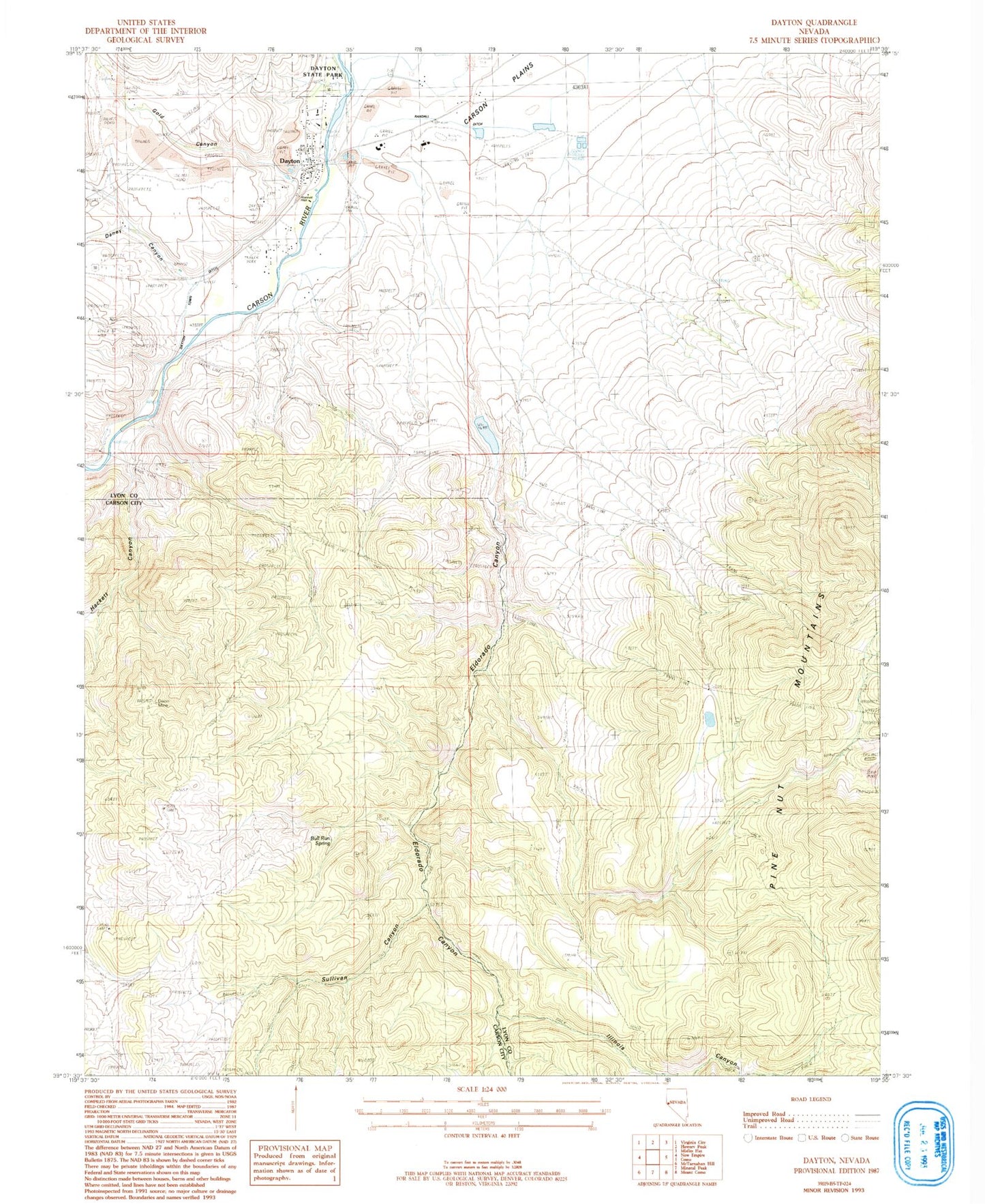
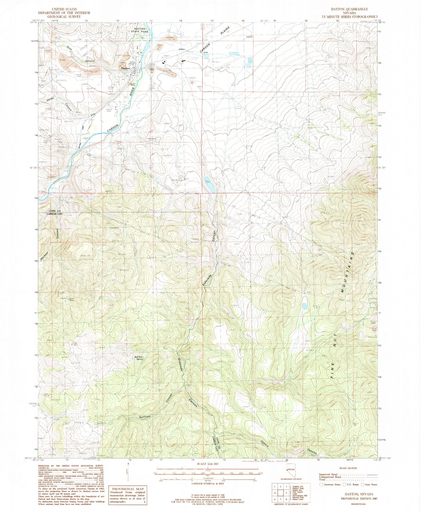
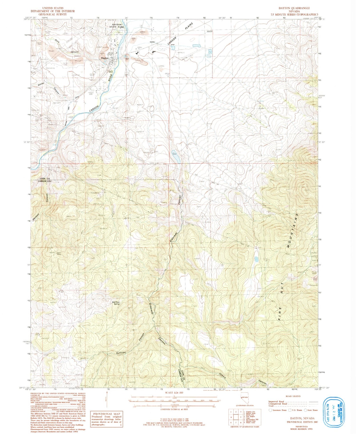
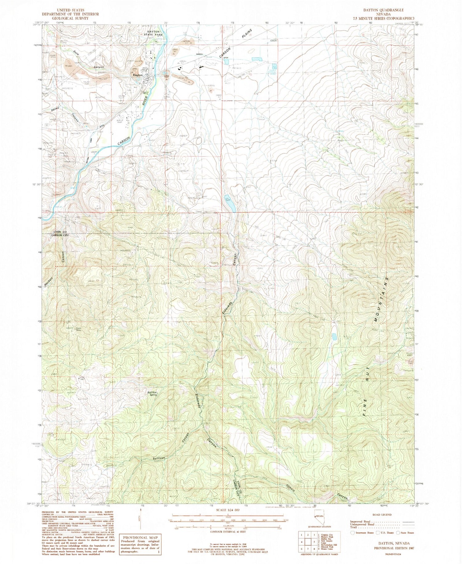
Classic USGS Dayton Nevada 7.5'x7.5' Topo Map
Couldn't load pickup availability
Historical USGS topographic quad map of Dayton in the state of Nevada. Map scale may vary for some years, but is generally around 1:24,000. Print size is approximately 24" x 27"
This quadrangle is in the following counties: Carson City (city), Lyon.
The map contains contour lines, roads, rivers, towns, and lakes. Printed on high-quality waterproof paper with UV fade-resistant inks, and shipped rolled.
Contains the following named places: Atlanta Mill, Aurora Mill, Barrys Mill, Birdsall and Carpenter Mill, Bull Run Spring, Carson River Quartz Mill, Central Lyon County Fire Protection District Dayton Valley Volunteer Fire Department Station 39, Daney Canyon, Dayton, Dayton Cemetery, Dayton Elementary School, Dayton High School, Dayton Intermediate School, Dayton Placer Mine, Dayton Post Office, Dayton State Park, Dayton Station, Dayton Town Ditch, Dayton Valley Airpark, Dixon Mine, Eldorado Canyon, Eldorado Canyon Dam, Eldorado Canyon Quarry, Eldorado Canyon Reservoir, Eldorado Mining District, Fiddlers Green, Franklin Mill, Gold Canyon, Gold Creek, Goldy, Hackett Canyon, Hastings and Woodworth Mill, Hulley-Logan Mine, Illinois Canyon, Illinois Mill, Island Mill, Jackson and Hunts Mill, Keller and Company Mill, Kustel and Winters Mill, Letter D, Lyon County Sheriff Station, Lyon Mill, Mineral Rapids Mill, Mineral Rapids Post Office, Mosheimer Mill, New Dayton Mill, New Jerusalem, New Ophir Mill, Old Dayton Mill, Old Ophir Mill, Pradere Ranch, Randall Ditch, Reservoir Mill, Rock Point Mill, Santa Maria Ranch, Solomon and Jacobs Mill, Solomon Davis Mill, Sprouls Mill, Sullivan Canyon, Sutro Mill, Sweetapples Mill, Toll, Weston and Company Mills, Woodworth Mill


