
MyTopo
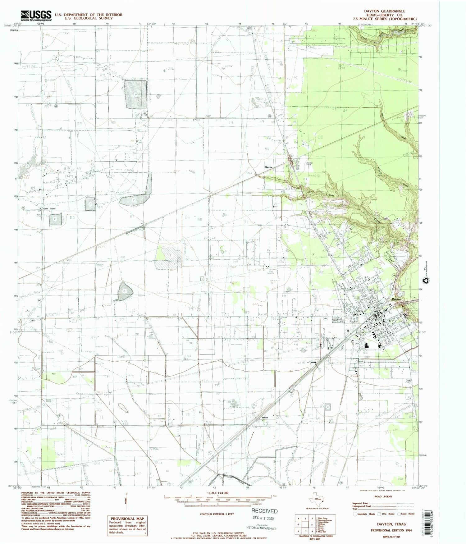
Classic USGS Dayton Texas 7.5'x7.5' Topo Map
Couldn't load pickup availability
Historical USGS topographic quad map of Dayton in the state of Texas. Map scale may vary for some years, but is generally around 1:24,000. Print size is approximately 24" x 27"
This quadrangle is in the following counties: Liberty.
The map contains contour lines, roads, rivers, towns, and lakes. Printed on high-quality waterproof paper with UV fade-resistant inks, and shipped rolled.
Contains the following named places: Austin Elementary School, Calvary Church, City of Dayton, Colbert Elementary School, Colbert High School, Dayton, Dayton City Hall, Dayton City Park, Dayton Fire Department, Dayton Police Department, Dayton Post Office, Dayton Stadium, First United Methodist Church of Dayton, Fullerton, Gum Grove, Jamison Airstrip, Jet Ag Inc Airport, Ladd, Liberty County Constable's Office Precinct 4, Liberty County Emergency Medical Service, Liberty County Sheriff's Office, Linney Cemetery, Magnolia Park Cemetery, Martha, Martha Oil Field, Mount Olive Church, North Dayton Oil Field, Palms Memorial Park, Pavlat Airport, Pinoak Airport, Richter Elementary School, Seaberg Ranch Airport, Smesny Farms Airport, Stilson, Texas Department of Criminal Justice Dempsie Henley State Jail, Texas Department of Criminal Justice Lucile Plane State Jail, Wadley, West Liberty Airport, Wilson Junior High School, Winter Valley Estates Dam, Winter Valley Estates Lake, ZIP Code: 77535


