MyTopo
Classic USGS Dayville Oregon 7.5'x7.5' Topo Map
Couldn't load pickup availability
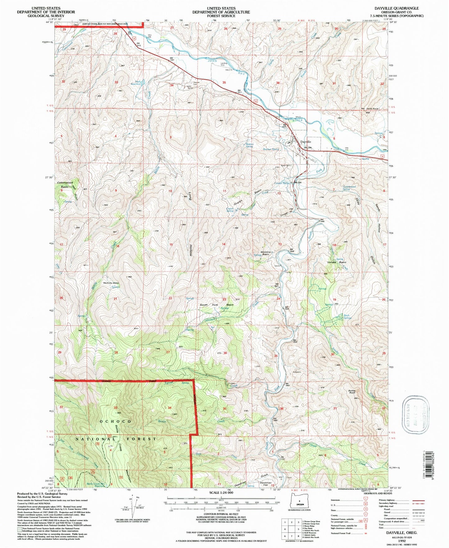
Historical USGS topographic quad map of Dayville in the state of Oregon. Map scale may vary for some years, but is generally around 1:24,000. Print size is approximately 24" x 27"
This quadrangle is in the following counties: Grant.
The map contains contour lines, roads, rivers, towns, and lakes. Printed on high-quality waterproof paper with UV fade-resistant inks, and shipped rolled.
Contains the following named places: Battle Creek, Battle Creek Mountain, Battle Creek Mountain Reservoir, Birch Springs, Bottle Rock, Bracket Spring, Brown Creek, Camp Lincoln, Conner Creek, Conner Spring, Connor Creek Reservoir, Cottonwood Spring, Cougar Gulch, Cummings Ditch, Dayville, Dayville Cemetery, Dayville City Hall, Dayville Fire Department, Dayville Library, Dayville Post Office, Dayville Public Works Department Office, Dayville School, Dayville Sewage Treatment, Deadman Gulch, Deep Creek, Dexter Ranch, Ferris Creek, Fort Basin Springs, Franks Creek, Gray Gulch, Guyon Basin, Guyon Spring, Johnson Creek, Keeton Spring, Kennedy Gulch, Long Hollow, McIntire Basin, McNulty Basin, Munjar Place, Murray Ditch, Nash Reservoir, Oliver Creek, Ringsmeyer Ditch, Sandy Hollow, Smoky Creek, South Fork Basin, South Fork John Day River, Table Rock, Throop Ditch, Town of Dayville, Tunnel Creek, Vanata Basin, Vanata Creek