MyTopo
Classic USGS De Borgia North Montana 7.5'x7.5' Topo Map
Couldn't load pickup availability
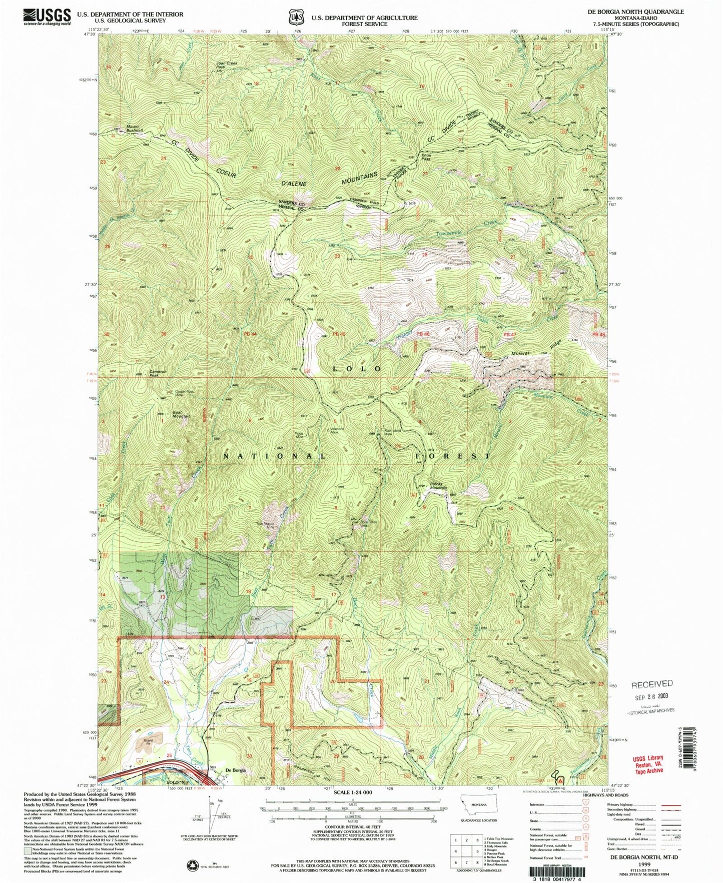
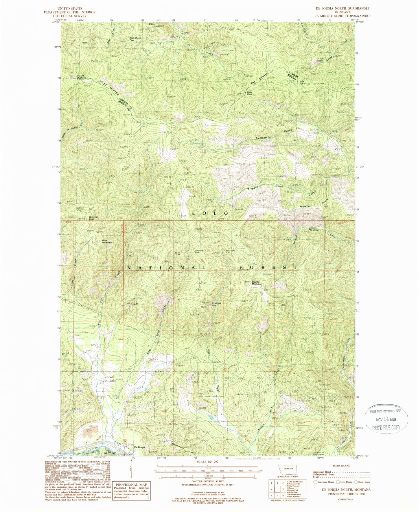
Historical USGS topographic quad map of De Borgia North in the state of Montana. Map scale may vary for some years, but is generally around 1:24,000. Print size is approximately 24" x 27"
This quadrangle is in the following counties: Mineral, Sanders.
The map contains contour lines, roads, rivers, towns, and lakes. Printed on high-quality waterproof paper with UV fade-resistant inks, and shipped rolled.
Contains the following named places: Brooks Mountain, Cabin City Campground, Cameron Peak, Cantonment Jordan, Copper Rock Mine, De Borgia, De Borgia Post Office, DeBorgia School, Deer Creek, East Twin Creek, Goat Mountain, Joan Creek Pass, Knox Pass, Middle Rock Creek, Mineral Ridge, Mount Bushnell, Rock Creek Vista, Rock Island Mine, Texas Mine, Trapper Cabin Creek, True Fissure Mine, Upper West Twin Creek Mine, Valentine Mine, West End Volunteer Fire Department, West Twin Creek Mine, ZIP Code: 59830