MyTopo
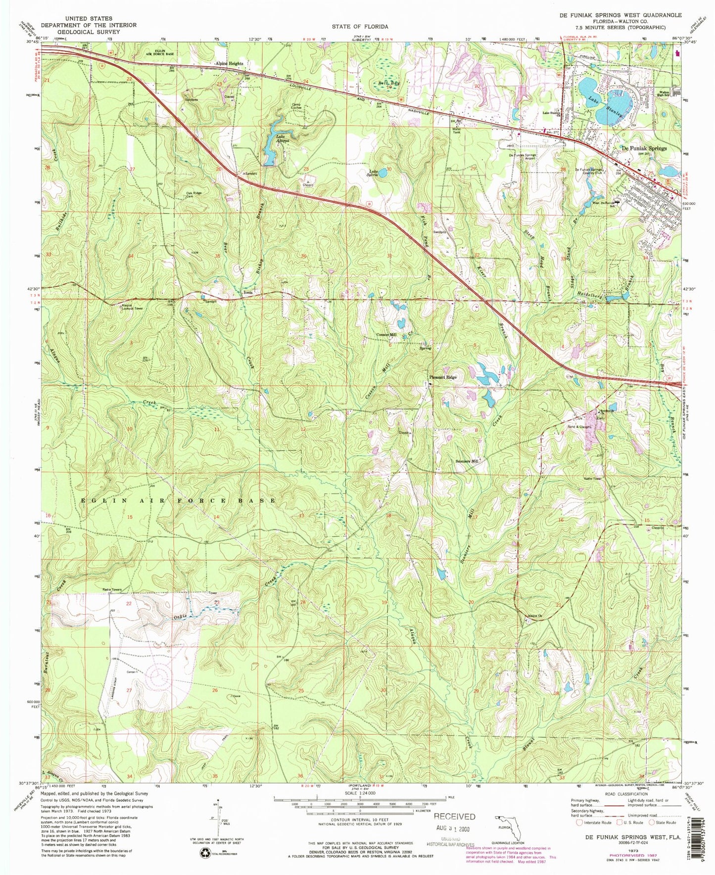
Classic USGS De Funiak Springs West Florida 7.5'x7.5' Topo Map
Couldn't load pickup availability
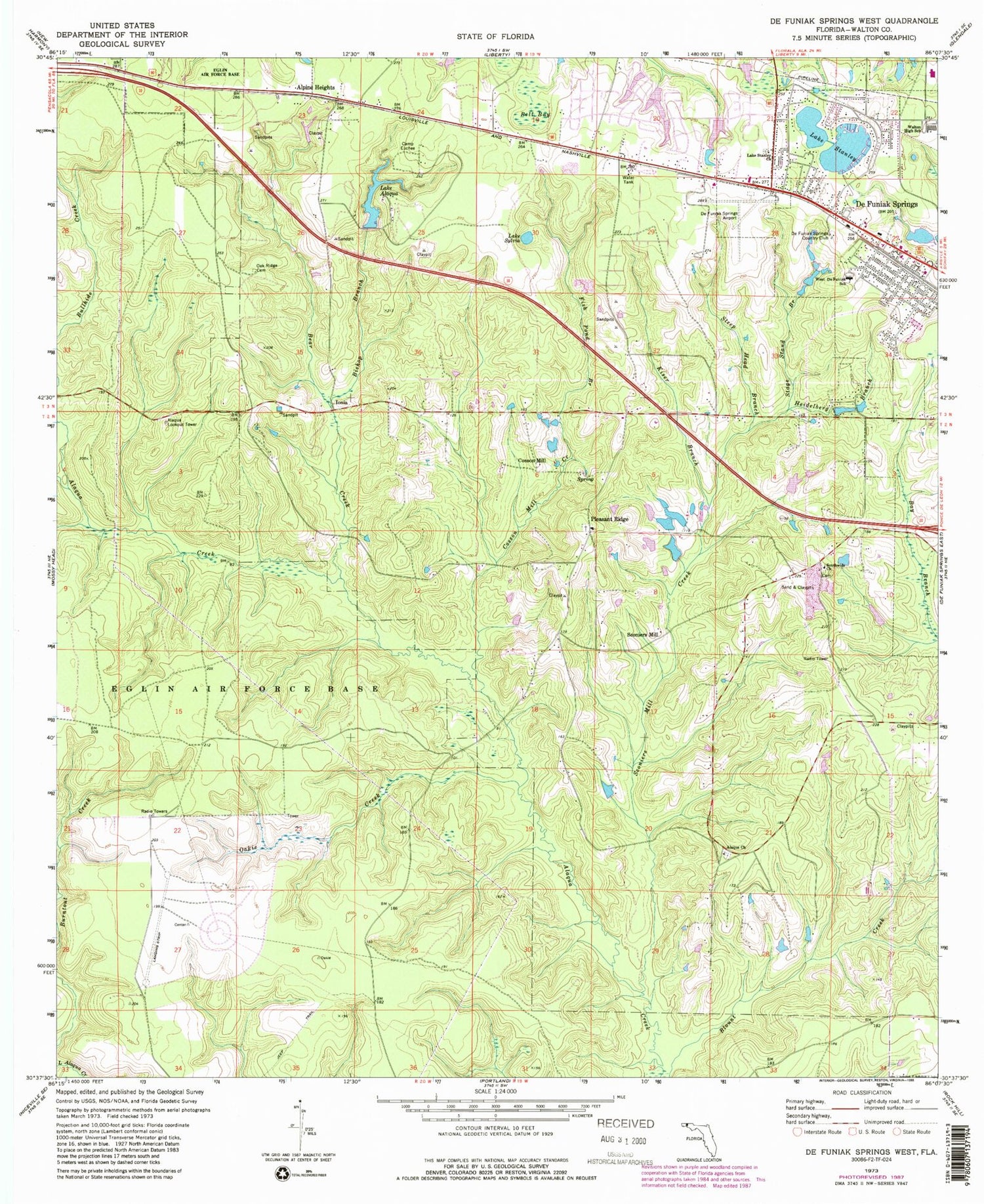
Historical USGS topographic quad map of De Funiak Springs West in the state of Florida. Typical map scale is 1:24,000, but may vary for certain years, if available. Print size: 24" x 27"
This quadrangle is in the following counties: Walton.
The map contains contour lines, roads, rivers, towns, and lakes. Printed on high-quality waterproof paper with UV fade-resistant inks, and shipped rolled.
Contains the following named places: Alaqua Church, Alaqua Lookout Tower, Lake Alaqua, Alpine Heights, Bear Bay Branch, Bear Creek, Bell Bay, Bishop Branch, Camp Euchee, Cosson Mill, DeFuniak Spring Country Club, Fish Pond Branch, Heidelberg Branch, Kiser Branch, Lake Stanley Church, Oak Ridge Cemetery, Oakie Creek, Sconiers Mill Creek, Southwide Church, Stage Stand Branch, Lake Stanley, Steep Head Branch, Lake Sylvia, Walton High School, West DeFuniak School, Cosson Mill, Pleasant Ridge, Sconiers Mill, Valley Springs Hospital, Maude Sanders Elementary School, Steele Church, Dixon, Galilean Academy, DeFuniak Springs Airport, Cedar Lane Airport (historical), Sconiers Mill Pond, De Funiak Springs Division, DeFuniak Springs Post Office


