MyTopo
Classic USGS De Gonia Springs Indiana 7.5'x7.5' Topo Map
Couldn't load pickup availability
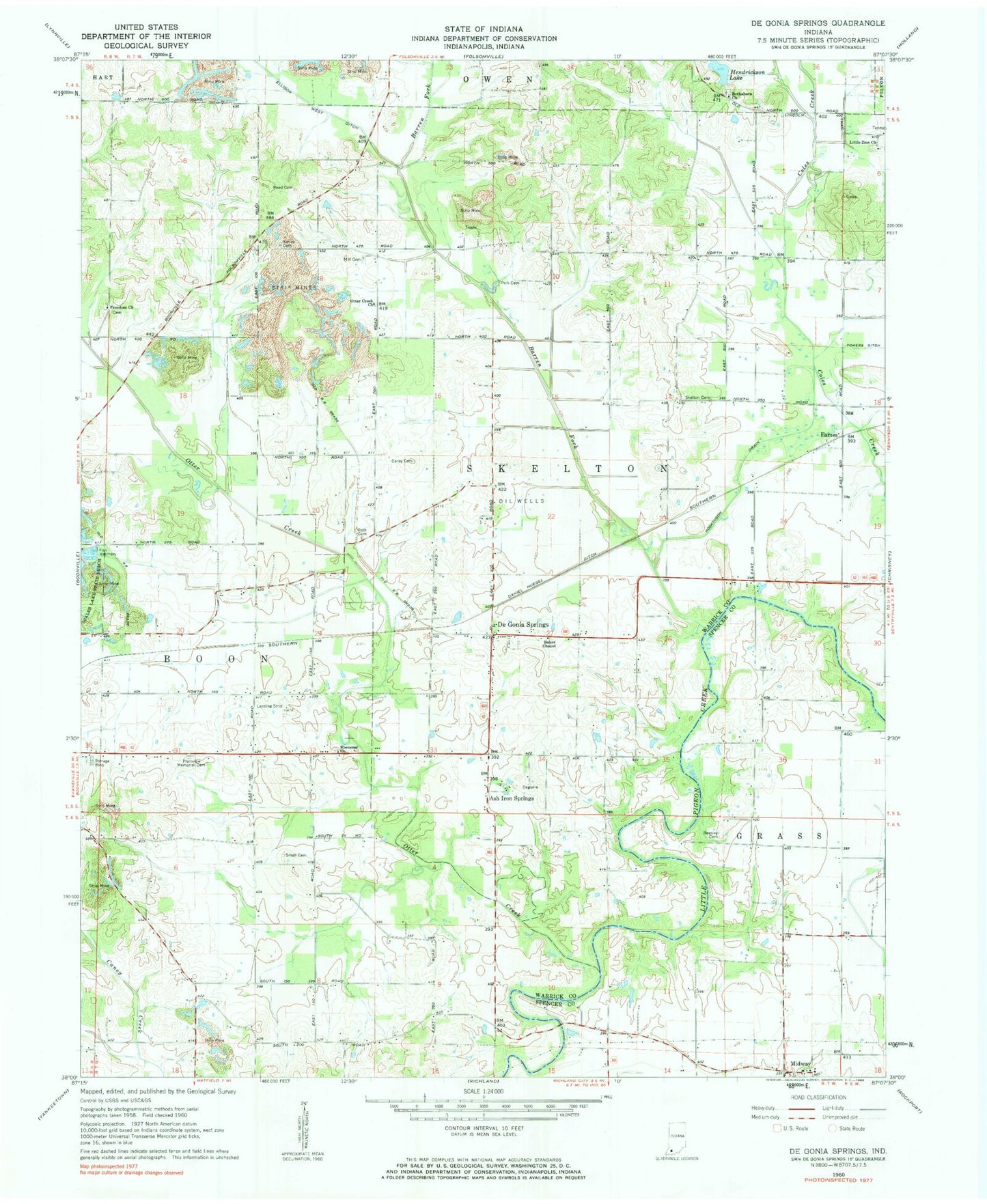
Historical USGS topographic quad map of De Gonia Springs in the state of Indiana. Map scale may vary for some years, but is generally around 1:24,000. Print size is approximately 24" x 27"
This quadrangle is in the following counties: Spencer, Warrick.
The map contains contour lines, roads, rivers, towns, and lakes. Printed on high-quality waterproof paper with UV fade-resistant inks, and shipped rolled.
Contains the following named places: Ash Iron Springs, Baker Chapel, Barren Fork, Beasley Cemetery, Bethabara Church, Daniel Huegel Ditch, De Gonia Springs, Eames, Ebenezer Church, Freedom Church, Hendrickson Lake, Hendrickson Lake Dam, Hoskinson Drain, Kelley Cemetery, Little Zion Church, Mills Cemetery, Otter Creek, Otter Creek Church, Plainview Memorial Cemetery, Polk Cemetery, Powers Ditch, Reed Cemetery, Roth Cemetery, Small Cemetery, Township of Skelton, Warrick County Sheriff's Office