MyTopo
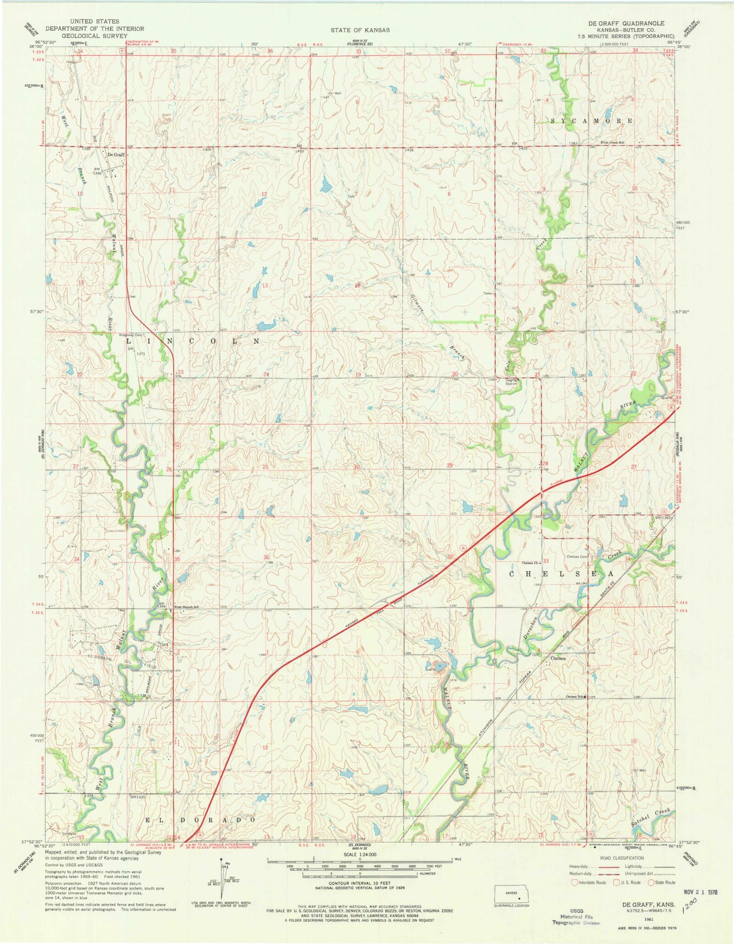
Classic USGS De Graff Kansas 7.5'x7.5' Topo Map
Couldn't load pickup availability
Historical USGS topographic quad map of De Graff in the state of Kansas. Map scale may vary for some years, but is generally around 1:24,000. Print size is approximately 24" x 27"
This quadrangle is in the following counties: Butler.
The map contains contour lines, roads, rivers, towns, and lakes. Printed on high-quality waterproof paper with UV fade-resistant inks, and shipped rolled.
Contains the following named places: Butler County Fire District 10 Station 2, Chelsea, Chelsea Cemetery, Chelsea Church, Chelsea School, Cole Creek, Cole Creek School, De Graff, Dixon, Durechen Creek, El Dorado State Park Boulder Bluff Camping Area, Gilmore Branch, Ridgeway Cemetery, Schonholm, Township of Lincoln, Walnut Valley Sailing Club, West Branch School