MyTopo
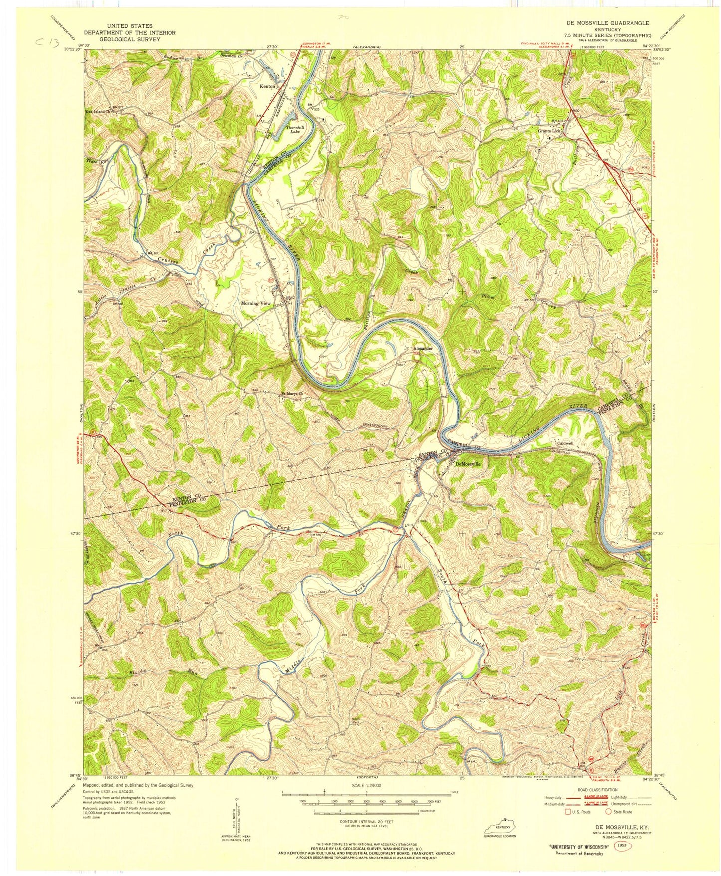
Classic USGS De Mossville Kentucky 7.5'x7.5' Topo Map
Couldn't load pickup availability
Historical USGS topographic quad map of De Mossville in the state of Kentucky. Map scale may vary for some years, but is generally around 1:24,000. Print size is approximately 24" x 27"
This quadrangle is in the following counties: Campbell, Kenton, Pendleton.
The map contains contour lines, roads, rivers, towns, and lakes. Printed on high-quality waterproof paper with UV fade-resistant inks, and shipped rolled.
Contains the following named places: Abbott, Abbott School, Alexander, Alexandria Railroad Station, Baker School, Benton Ferry, Bloody Run, Bryants Ford, Bryants Ford Railroad Station, Caldwell, Caldwell Cemetery, Clay Ridge, Clay Ridge School, Cruises Creek, DeMossville, DeMossville Post Office, Fairlane, Forest Grove School, Gardnersville School, Grants Lick, Grants Lick Post Office, Grants Lick School, Grassy Creek, Grassy Creek Baptist Church, Grassy Creek Church, Grassy Creek Church Cemetery, Grassy Creek Post Office, Greenwood, Greenwood Hill, Greenwood Hill Post Office, Greenwood School, Hopeful, Hopeful School, Kenton, Kenton Fire Protection District, Kenton Post Office, Little Cruises Creek, Middle Fork Grassy Creek, Morning View, Morning View Post Office, Morning View Railroad Station, North Fork Grassy Creek, Oak Island Church, Oakland Cemetery, Oakland School, Phillips Creek, Pleasant Ridge, Plum Creek, Redmond Branch, Roberts Ferry, Saint Marys Church, Sandy Branch, Schuler Post Office, Smith Cemetery, South Fork Grassy Creek, Sugar Camp School, Thorn Hill Drag Strip, Thorn Hill Lake, Three Forks Grassy Creek, Trace Run, Wilmington, Wilmington Bottom, ZIP Codes: 41033, 41063


