MyTopo
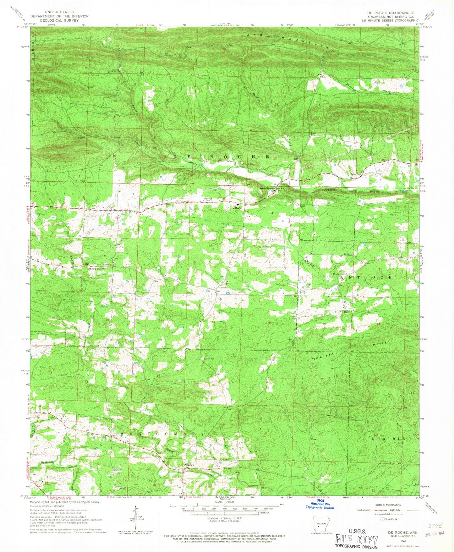
Classic USGS De Roche Arkansas 7.5'x7.5' Topo Map
Couldn't load pickup availability
Historical USGS topographic quad map of De Roche in the state of Arkansas. Map scale may vary for some years, but is generally around 1:24,000. Print size is approximately 24" x 27"
This quadrangle is in the following counties: Hot Spring.
The map contains contour lines, roads, rivers, towns, and lakes. Printed on high-quality waterproof paper with UV fade-resistant inks, and shipped rolled.
Contains the following named places: Beason Cemetery, Caney, Curl Creek, De Roche, De Roche Cemetery, De Roche Church, DeLisle Hills, Estep Cemetery, Hickory Grove Church, Holstein Cemetery, Jack Mountain, KLAZ-FM (Hot Springs), KRZB-TV (Hot Springs), New DeRoche Fire Department, Prairie Bayou Church, Prince Cemetery, Prince Field, Sanders, Sanders Creek, Township of De Roche, Township of Montgomery