MyTopo
Classic USGS De Valls Bluff NE Arkansas 7.5'x7.5' Topo Map
Couldn't load pickup availability
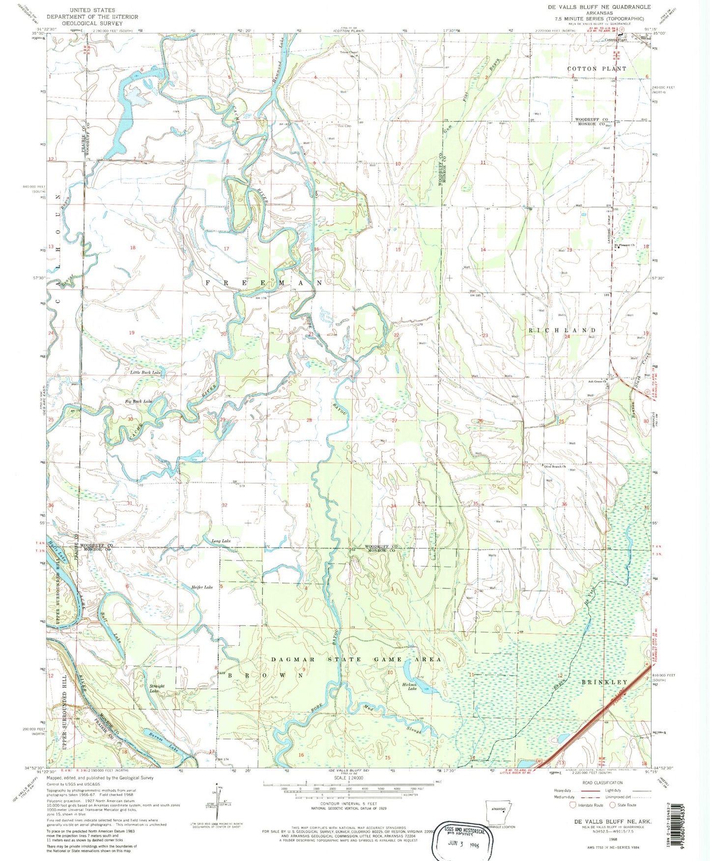
Historical USGS topographic quad map of De Valls Bluff NE in the state of Arkansas. Map scale may vary for some years, but is generally around 1:24,000. Print size is approximately 24" x 27"
This quadrangle is in the following counties: Monroe, Prairie, Woodruff.
The map contains contour lines, roads, rivers, towns, and lakes. Printed on high-quality waterproof paper with UV fade-resistant inks, and shipped rolled.
Contains the following named places: Ash Grove Cemetery, Ash Grove Church, Barnes Lake, Benson Slash Creek, Big Buck Lake, Bull Lake, Dagmar State Wildlife Management Area, Ditch Number 1, Gum Flat Bayou, Halls Lake, Hammond Lake, Heifer Lake, Hickson Lake, Little Buck Lake, Long Lake, Mount Pleasant Church, Mount Pleasant School, Mud Slough, New Home Church, Olive Branch Church, Robe Bayou, Straight Lake, Township of Freeman, Trice Cemetery, Trices Chapel