MyTopo
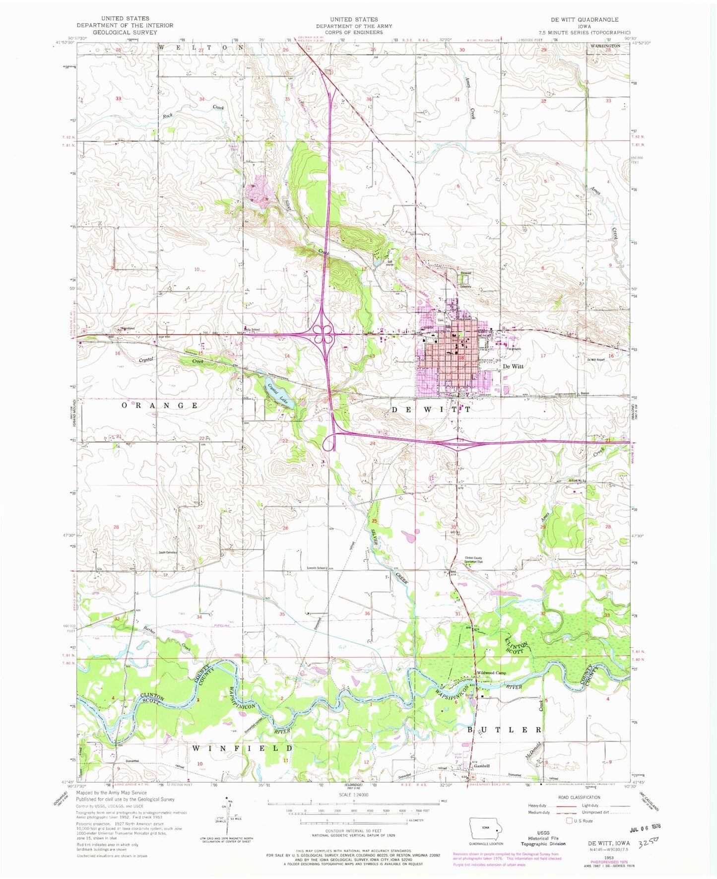
Classic USGS De Witt Iowa 7.5'x7.5' Topo Map
Couldn't load pickup availability
Historical USGS topographic quad map of De Witt in the state of Iowa. Map scale may vary for some years, but is generally around 1:24,000. Print size is approximately 24" x 27"
This quadrangle is in the following counties: Clinton, Scott.
The map contains contour lines, roads, rivers, towns, and lakes. Printed on high-quality waterproof paper with UV fade-resistant inks, and shipped rolled.
Contains the following named places: 4-H Fairgrounds, 52742, Ames Creek Bridge, Barber Creek, Barber Creek State Wildlife Management Area, Behr Quarry, Central De Witt High School, Central De Witt Intermediate School, Central Middle School, City of DeWitt, Cornerstone Church, Country Estates Mobile Home Park, Crystal Creek, Crystal Lake, De Witt, De Witt Community Hospital, De Witt Evangelical Free Church, De Witt Family Health Clinic, De Witt Lutheran Fellowship, De Witt Police Department, De Witt Post Office, De Witt Volunteer Fire Department, DeWitt, Dewitt Ambulance Service, Ekstrand Elementary School, Elmwood Cemetery, First Baptist Church, First Congregational United Church, Frances Banta Waggoner Library, Gambril Post Office, Gambrill, Genesis Medical Center De Witt, Goff School, Grace Lutheran Church, Guardian Glass Industries Emergency Medical Services, Jehovahs Witnesses Congregation, John Letter Historical Marker, Lincoln Park, Lincoln School, Living Word Bible Church, Martins, Mason Creek, McDonald Creek, Noel, Noel Post Office, Rock Creek, Rural Home School, Saint Joseph Catholic School, Saint Joseph Cemetery, Saint Joseph Church, Silver Creek, Smith Cemetery, Springbrook Country Club, Sunnyside School, Township of DeWitt, United Methodist Church, Unity School, Virginia School, West Brook Park, Westwing Place Nursing Home, Wildwood Camp


