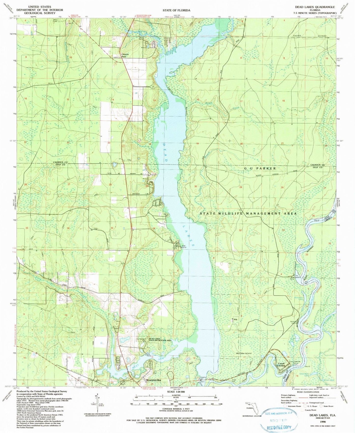
MyTopo
Classic USGS Dead Lakes Florida 7.5'x7.5' Topo Map
Couldn't load pickup availability
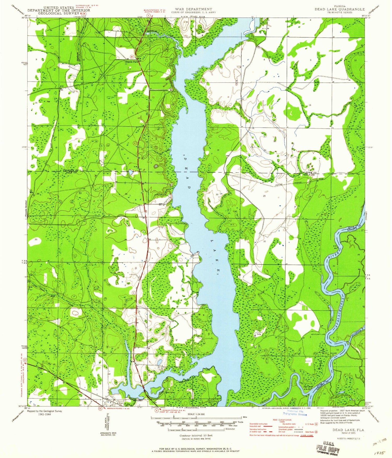
Historical USGS topographic quad map of Dead Lakes in the state of Florida. Map scale may vary for some years, but is generally around 1:24,000. Print size is approximately 24" x 27"
This quadrangle is in the following counties: Calhoun, Gulf, Liberty.
The map contains contour lines, roads, rivers, towns, and lakes. Printed on high-quality waterproof paper with UV fade-resistant inks, and shipped rolled.
Contains the following named places: Big Branch, Brown Creek, Chipola Cutoff, Chipola Park, Clark Branch, Crooked Creek, Dead Lakes, Dead Lakes State Park, Estanifanulga, First Baptist Church, Florida River, G U Parker Wildlife Management Area, Glenwood Church of Christ, Greenback Lake, Guardhouse Branch, Iola, Iola Lake, Jehu Cemetery, Kentucky Lake, Kentucky Landing, McCabe Island, Parker Plaza Shopping Center, Silver Lake, State Fish Hatchery, Stone Mill Creek, West Arm Bridge, West Arm of Dead Lakes, Woodcock Lake