MyTopo
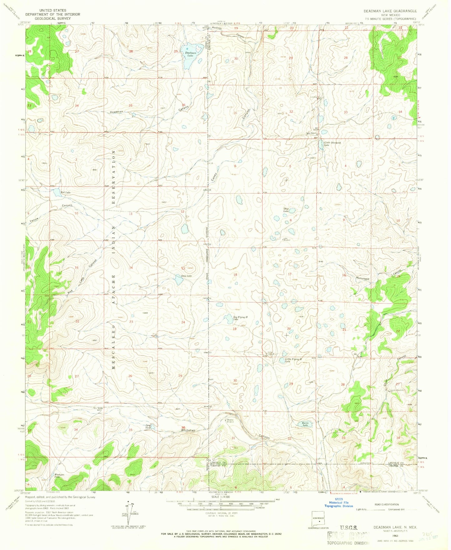
Classic USGS Deadman Lake New Mexico 7.5'x7.5' Topo Map
Couldn't load pickup availability
Historical USGS topographic quad map of Deadman Lake in the state of New Mexico. Map scale may vary for some years, but is generally around 1:24,000. Print size is approximately 24" x 27"
This quadrangle is in the following counties: Chaves, Lincoln, Otero.
The map contains contour lines, roads, rivers, towns, and lakes. Printed on high-quality waterproof paper with UV fade-resistant inks, and shipped rolled.
Contains the following named places: Big Flying H Lake, Burro Lake, Circle Diamond Lake, Deadman Canyon, Deadman Lake, Deep Lake, Indian Windmill, Joyce Ranch, Lake Windmill, Little Flying H Lake, Monument Canyon, Red Lake, Red Lake Canyon, Rosendo Windmill, Spur Tank, Spur Well, Washpan Tank, Whitetail Windmill, Yellow Canyon