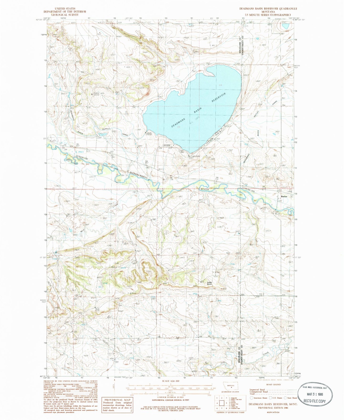
MyTopo
Classic USGS Deadmans Basin Reservoir Montana 7.5'x7.5' Topo Map
Regular price
$16.95
Regular price
Sale price
$16.95
Unit price
per
Couldn't load pickup availability
Historical USGS topographic quad map of Deadmans Basin Reservoir in the state of Montana. Map scale may vary for some years, but is generally around 1:24,000. Print size is approximately 24" x 27"
This quadrangle is in the following counties: Golden Valley, Wheatland.
The map contains contour lines, roads, rivers, towns, and lakes. Printed on high-quality waterproof paper with UV fade-resistant inks, and shipped rolled.
Contains the following named places: 06N18E15BBA_01 Well, 07N18E08DDC_01 Well, Barber, Barber Bridge, Barber Cemetery, Barber Post Office, Barber School, Deadmans Basin Campground, Deadmans Basin Dam, Deadmans Basin Fishing Access Site, Deadmans Basin Reservoir, Indian Butte, Mud Creek