MyTopo
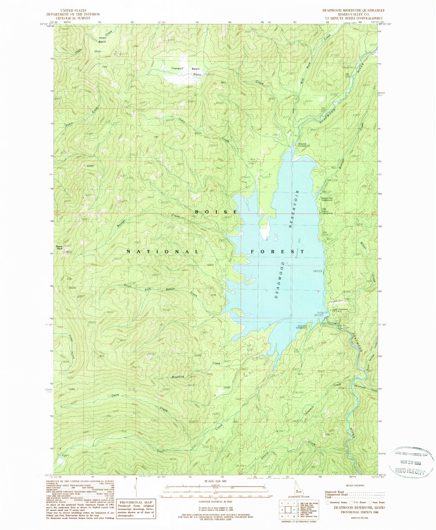
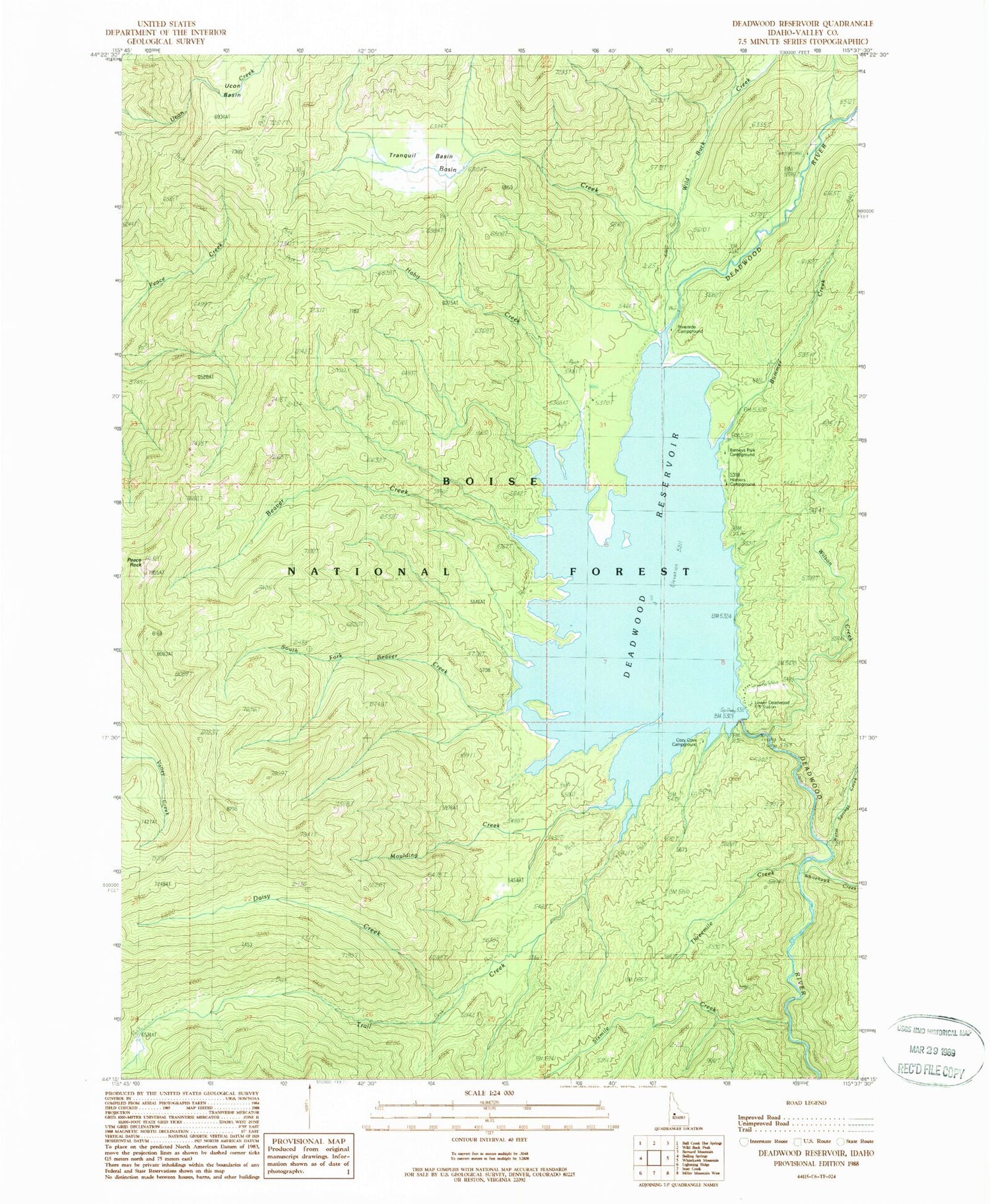
Classic USGS Deadwood Reservoir Idaho 7.5'x7.5' Topo Map
Couldn't load pickup availability
Historical USGS topographic quad map of Deadwood Reservoir in the state of Idaho. Typical map scale is 1:24,000, but may vary for certain years, if available. Print size: 24" x 27"
This quadrangle is in the following counties: Valley.
The map contains contour lines, roads, rivers, towns, and lakes. Printed on high-quality waterproof paper with UV fade-resistant inks, and shipped rolled.
Contains the following named places: Ucon Basin, Bummer Creek, Daisy Creek, Habit Creek, Lower Deadwood Guard Station, Moulding Creek, Peace Rock, South Fork Beaver Creek, Threemile Creek, Tranquil Basin, Warm Springs Creek, Whitehawk Creek, Wild Buck Creek, Wilson Creek, Homers Campground, Barneys Park Campground, Fir Springs Campground, North Fork Beaver Creek, West Side Trail, Deadwood Reservoir, Cozy Cove Campground, Riverside Campground, Deadwood Dam, Deadwood Basin, Basin Creek, Beaver Creek, Sixmile Creek, Trail Creek, Deadwood Dam Airstrip


