MyTopo
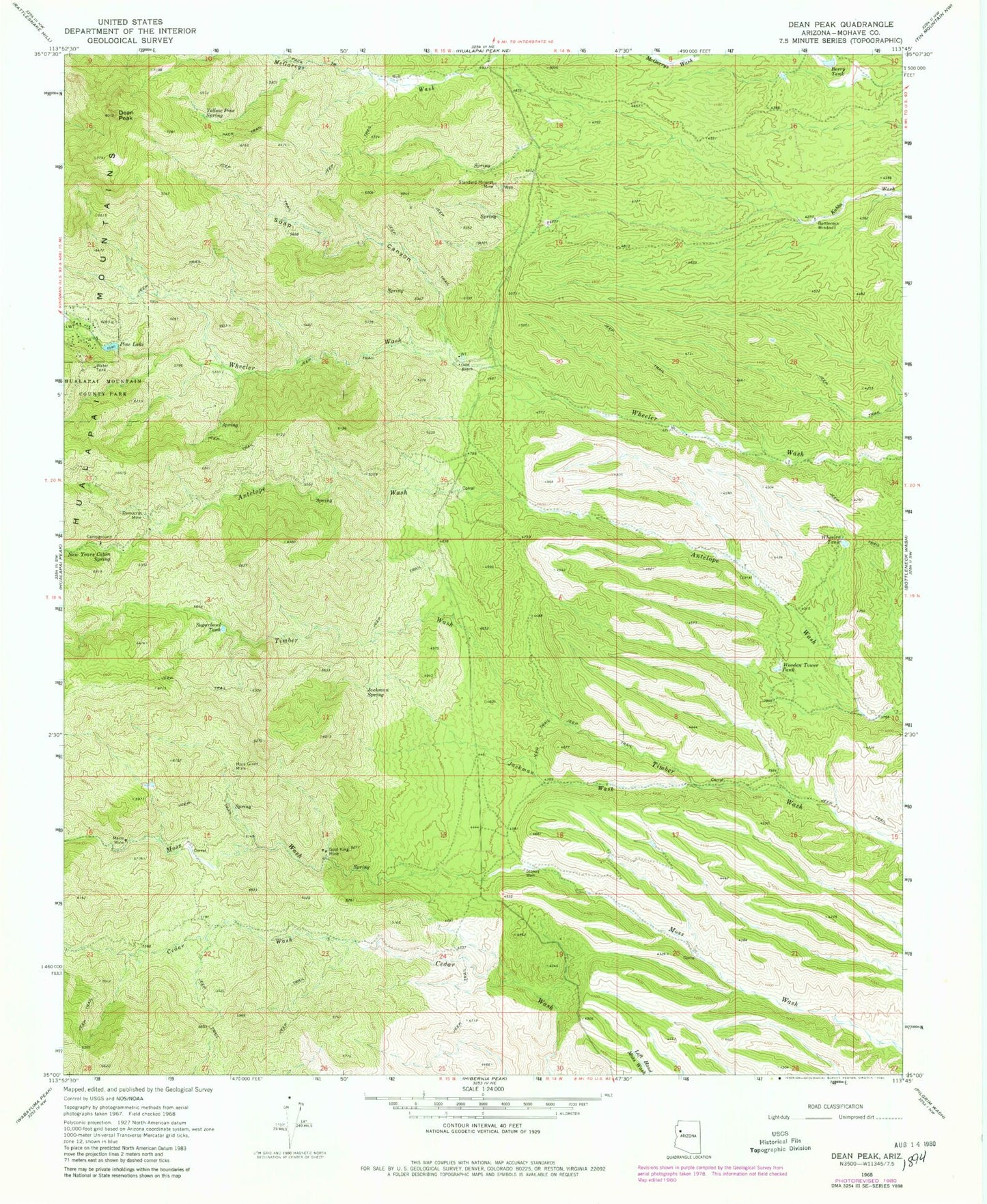
Classic USGS Dean Peak Arizona 7.5'x7.5' Topo Map
Couldn't load pickup availability
Historical USGS topographic quad map of Dean Peak in the state of Arizona. Map scale may vary for some years, but is generally around 1:24,000. Print size is approximately 24" x 27"
This quadrangle is in the following counties: Mohave.
The map contains contour lines, roads, rivers, towns, and lakes. Printed on high-quality waterproof paper with UV fade-resistant inks, and shipped rolled.
Contains the following named places: Berry Tank, Bottleneck Windmill, Dean Peak, Democrat Mine, Gold King Mine, Jackman Spring, Jackman Wash, Merlo Mine, Mica Giant Mine, New Years Cabin Spring, Odle Ranch, Pine Lake, Pine Lake Census Designated Place, Soap Canyon, Standard Mineral Mine, Stokes Well, Sugarbowl Tank, Wheeler Tank, Wild Cow Campground, Wooden Tower Tank, Yellow Pine Spring