MyTopo
Classic USGS Dean Texas 7.5'x7.5' Topo Map
Couldn't load pickup availability
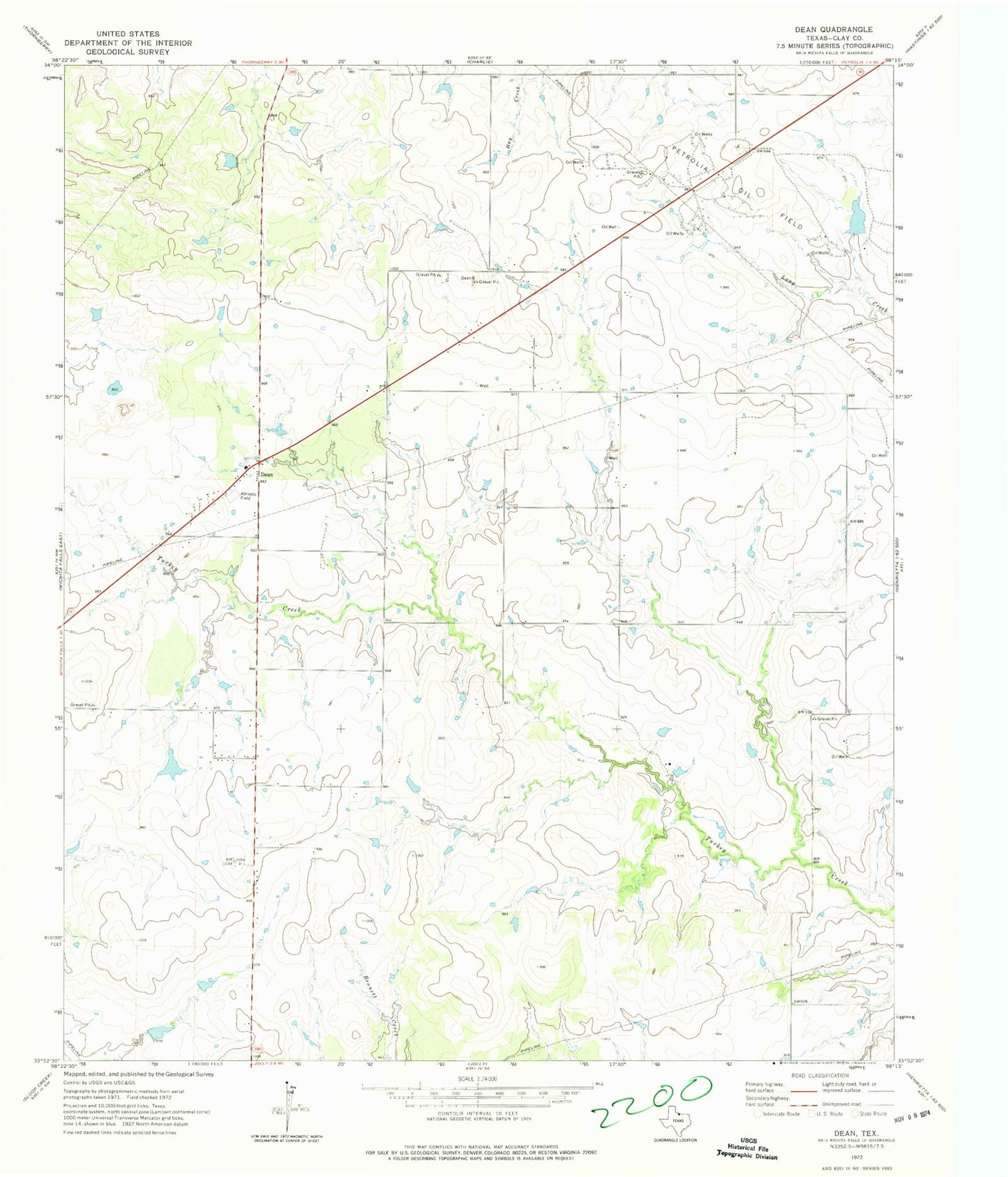
Historical USGS topographic quad map of Dean in the state of Texas. Map scale may vary for some years, but is generally around 1:24,000. Print size is approximately 24" x 27"
This quadrangle is in the following counties: Clay.
The map contains contour lines, roads, rivers, towns, and lakes. Printed on high-quality waterproof paper with UV fade-resistant inks, and shipped rolled.
Contains the following named places: Bridwell Lake, Bridwell Lake Dam, City of Dean, City of Jolly, Dean, Dean - Dale Volunteer Fire Department, Dowdy Lake Number 1, Dowdy Lake Number 1 Dam, Dowdy Lake Number 2, Dowdy Lake Number 2 Dam, Ferguson Lake, Ferguson Lake Dam, Harding Lake, Harding Lake Dam, Householder Lake, Householder Lake Dam, Krottinger Lake, Krottinger Lake Dam, Mathews Airport, Petrolia Oil Field