MyTopo
Classic USGS Deardorff Mountain Oregon 7.5'x7.5' Topo Map
Regular price
$16.95
Regular price
Sale price
$16.95
Unit price
per
Couldn't load pickup availability
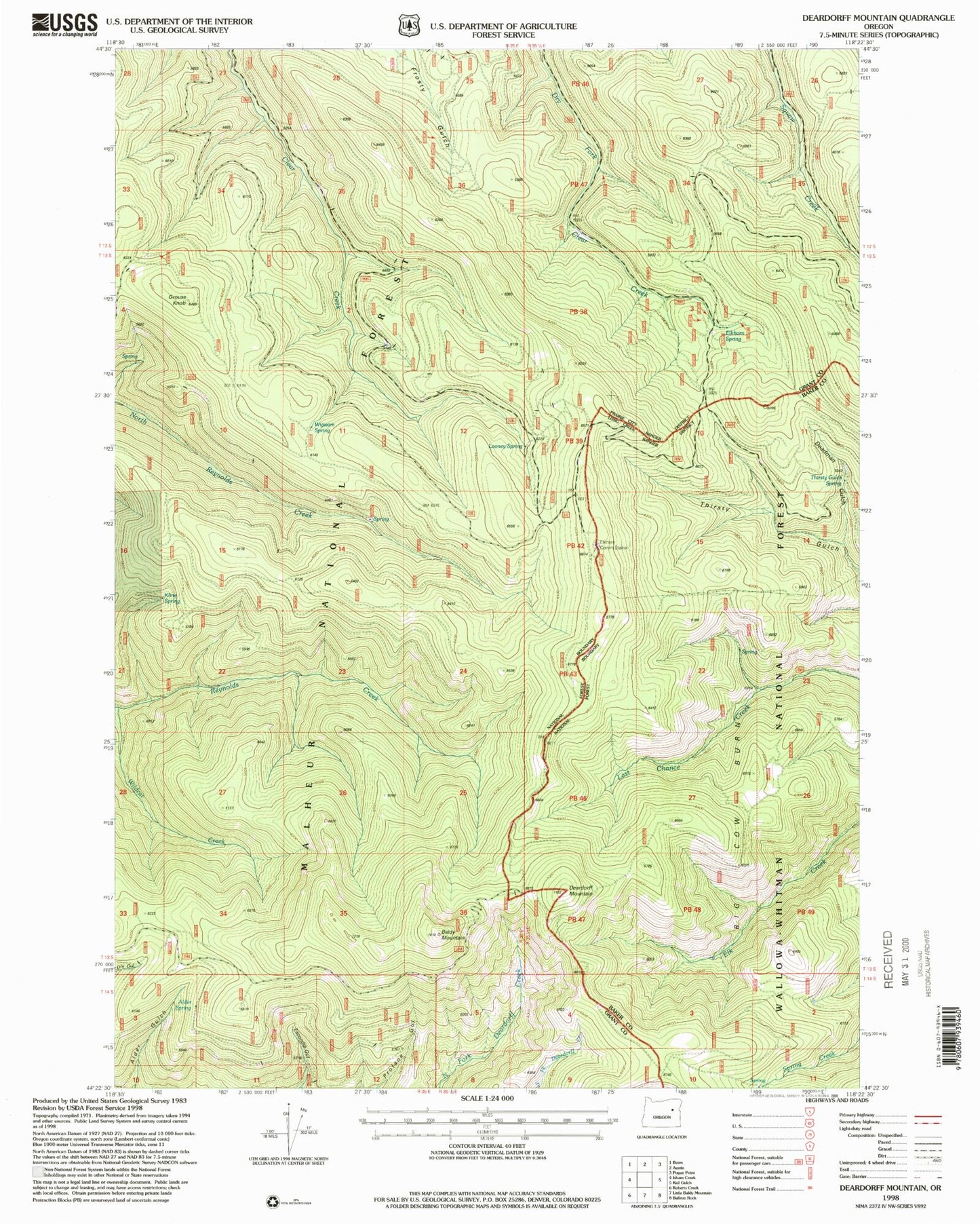
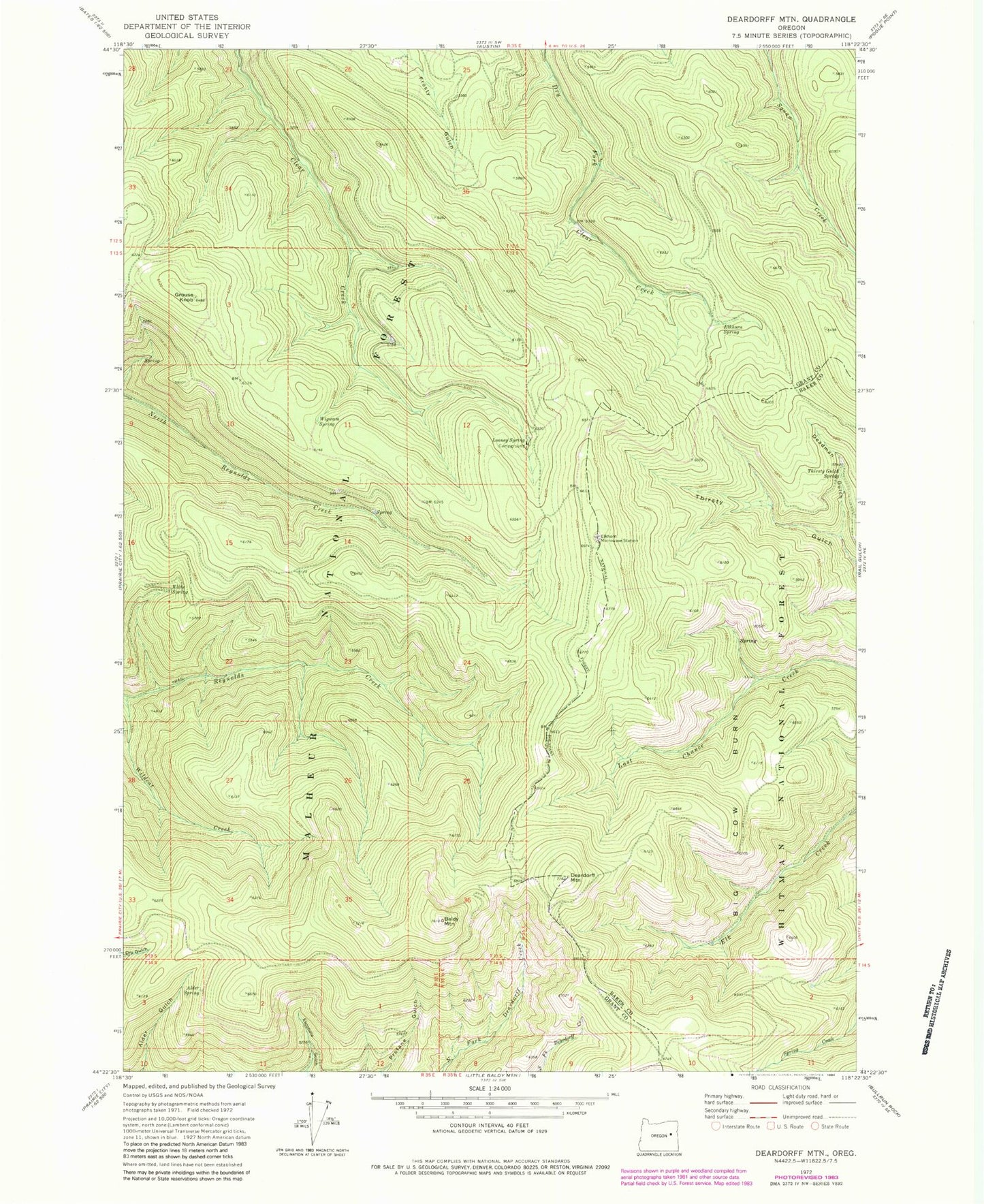
Historical USGS topographic quad map of Deardorff Mountain in the state of Oregon. Map scale may vary for some years, but is generally around 1:24,000. Print size is approximately 24" x 27"
This quadrangle is in the following counties: Baker, Grant.
The map contains contour lines, roads, rivers, towns, and lakes. Printed on high-quality waterproof paper with UV fade-resistant inks, and shipped rolled.
Contains the following named places: Alder Spring, Baldy Mountain, Deadman Gulch, Deardorff Mountain, Elkhorn Microwave Station, Elkhorn Spring, Grouse Knob, Kline Spring, Looney Spring, Looney Spring Campground, Thirsty Gulch Spring, Wigwam Spring, Wildcat Creek