MyTopo
Classic USGS Deavertown Ohio 7.5'x7.5' Topo Map
Couldn't load pickup availability
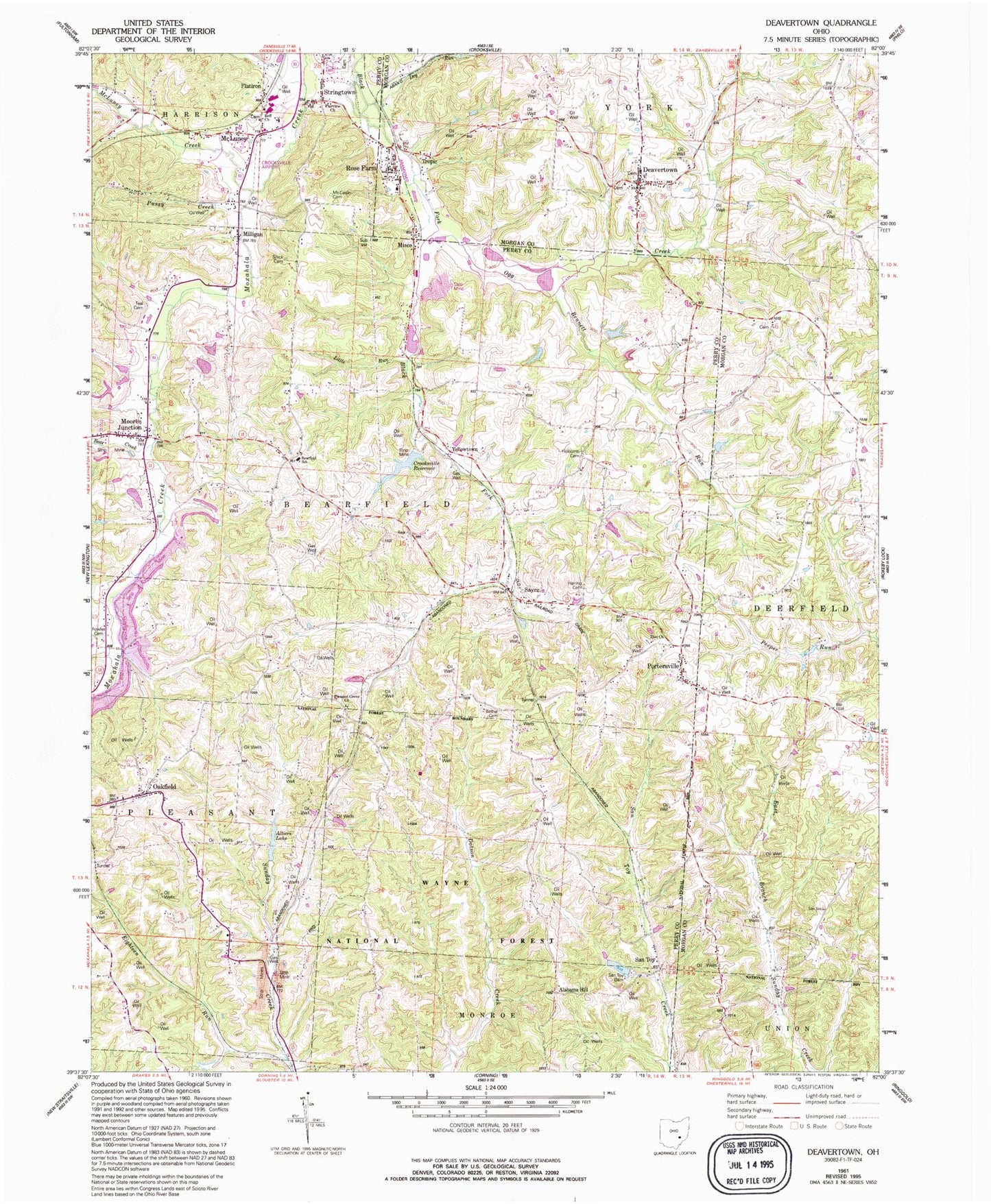
Historical USGS topographic quad map of Deavertown in the state of Ohio. Map scale may vary for some years, but is generally around 1:24,000. Print size is approximately 24" x 27"
This quadrangle is in the following counties: Morgan, Perry.
The map contains contour lines, roads, rivers, towns, and lakes. Printed on high-quality waterproof paper with UV fade-resistant inks, and shipped rolled.
Contains the following named places: Alabama Hill, Altiers Lake, Altiers Lake Dam, Bear Creek, Bearfield School, Bennett Run, Bethel Cemetery, Breece School, Crooksville Airport, Crooksville High School, Crooksville Reservoir, Crooksville Reservoir Number Three Dam, Deavertown, Deavertown Post Office, Dry Run, Eighteen Run, Fairview Church, First Baptist Church Cemetery, Flatiron, Fowler Cemetery, Hammond School, Harring Cemetery, Hebron School, Holcomb Cemetery, Holcomb School, Ileff Church, Iliff Cemetery, Iron Hill School, Jones Lake, Little Run, McCaslin Family Cemetery, McLuney, McLuney Creek, McLuney Post Office, Milligan, Milligan Post Office, Misco, Misco Post Office, Moores Junction, Oakfield, Oakfield Baptist Church, Oakgrove School, Ogg Creek, Peeper Run, Pleasant Grove Cemetery, Pleasant Grove Church, Portersville, Portersville Post Office, Presbyterian Cemetery, Pussy Creek, Rose Farm, Rose Farm Census Designated Place, Rose Farm Church of Christ, Rose Farm Post Office, Rose Farm School, San Toy, San Toy Dam, San Toy Lake, Santoy Post Office, Sayre, Sayre Post Office, Shick Cemetery, Stringtown, Teal Cemetery, Township of Bearfield, Township of York, Tropic, Tropic Station, Yellowtown, York Elementary School, Zion Cemetery, Zion Church, ZIP Code: 43731


