MyTopo
Classic USGS Deep Creek North North Dakota 7.5'x7.5' Topo Map
Regular price
$16.95
Regular price
Sale price
$16.95
Unit price
per
Couldn't load pickup availability
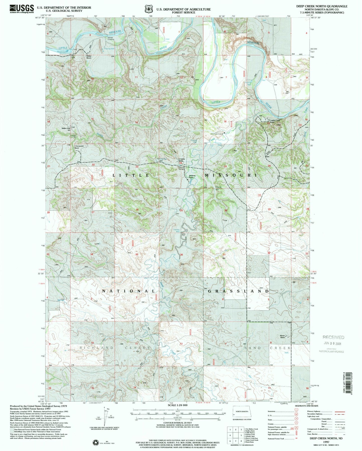
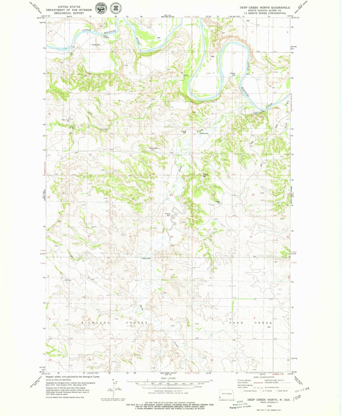
Historical USGS topographic quad map of Deep Creek North in the state of North Dakota. Map scale may vary for some years, but is generally around 1:24,000. Print size is approximately 24" x 27"
This quadrangle is in the following counties: Slope.
The map contains contour lines, roads, rivers, towns, and lakes. Printed on high-quality waterproof paper with UV fade-resistant inks, and shipped rolled.
Contains the following named places: Bullion View School, Deep Creek, Jacobson Ranch, K Hafele Ranch, Logging Camp Ranch, Old Deep Creek Guard Station, Ponderosa Pine Area, Sand Creek, Spring Coulee, Unorganized Territory of Northwest Slope, Walser Crossing, Walser Ranch