MyTopo
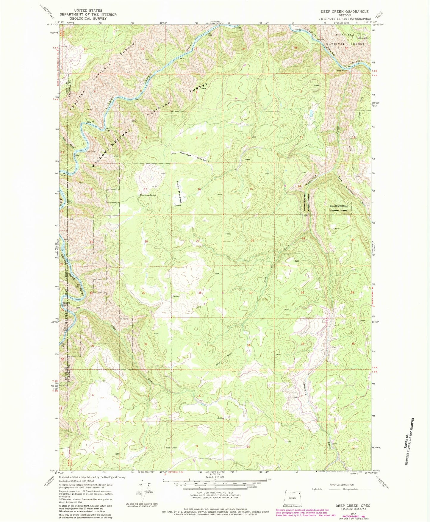
Classic USGS Deep Creek Oregon 7.5'x7.5' Topo Map
Regular price
$16.95
Regular price
Sale price
$16.95
Unit price
per
Couldn't load pickup availability
Historical USGS topographic quad map of Deep Creek in the state of Oregon. Typical map scale is 1:24,000, but may vary for certain years, if available. Print size: 24" x 27"
This quadrangle is in the following counties: Union, Wallowa.
The map contains contour lines, roads, rivers, towns, and lakes. Printed on high-quality waterproof paper with UV fade-resistant inks, and shipped rolled.
Contains the following named places: Alder Creek, Brown Meadows, Clear Creek, Deep Creek, East Grossman Creek, Ferguson Spring, Grossman Creek, Newman Meadows, Grove Meadow, Indian Point, Minam State Park, Grande Ronde Scenic Area, Wenaka Post Office (historical)