MyTopo
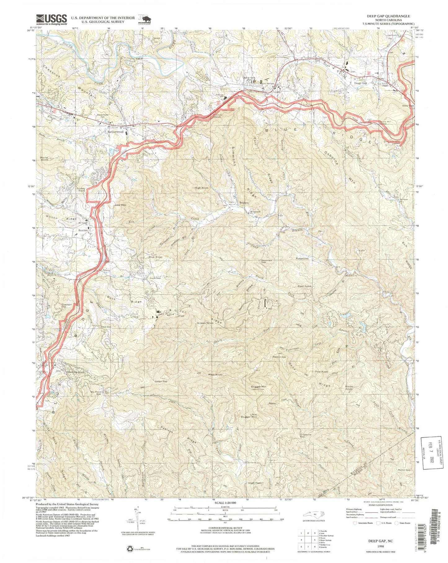
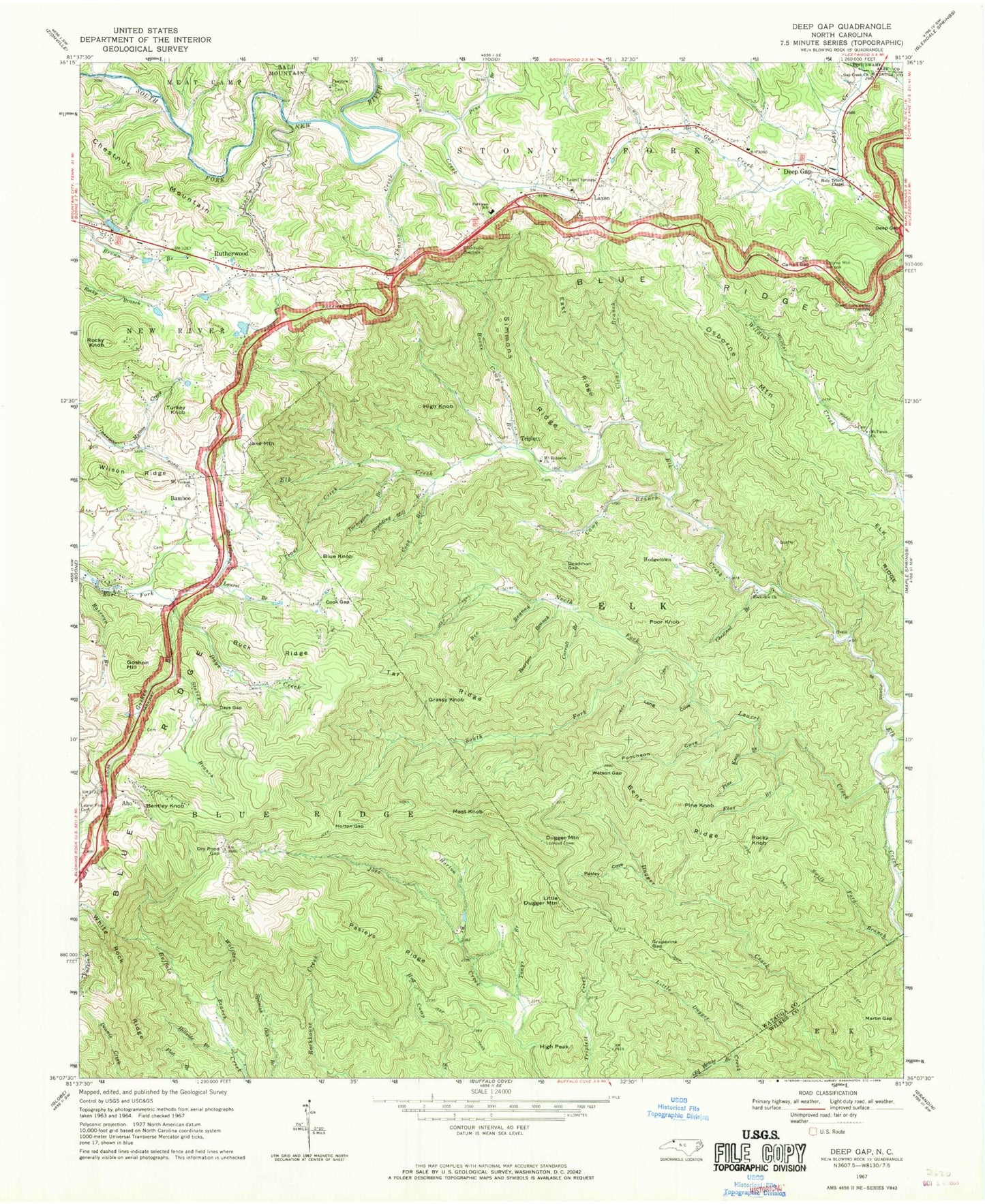
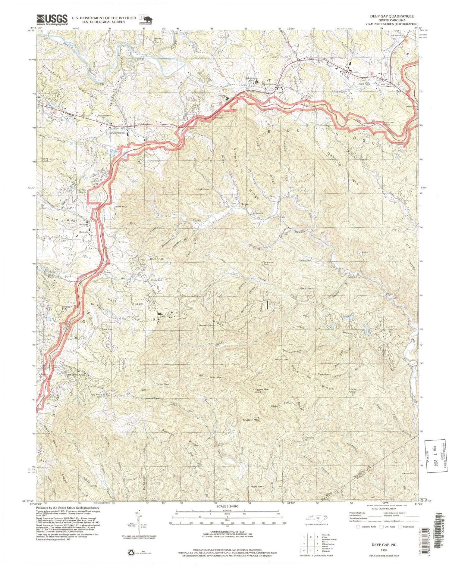
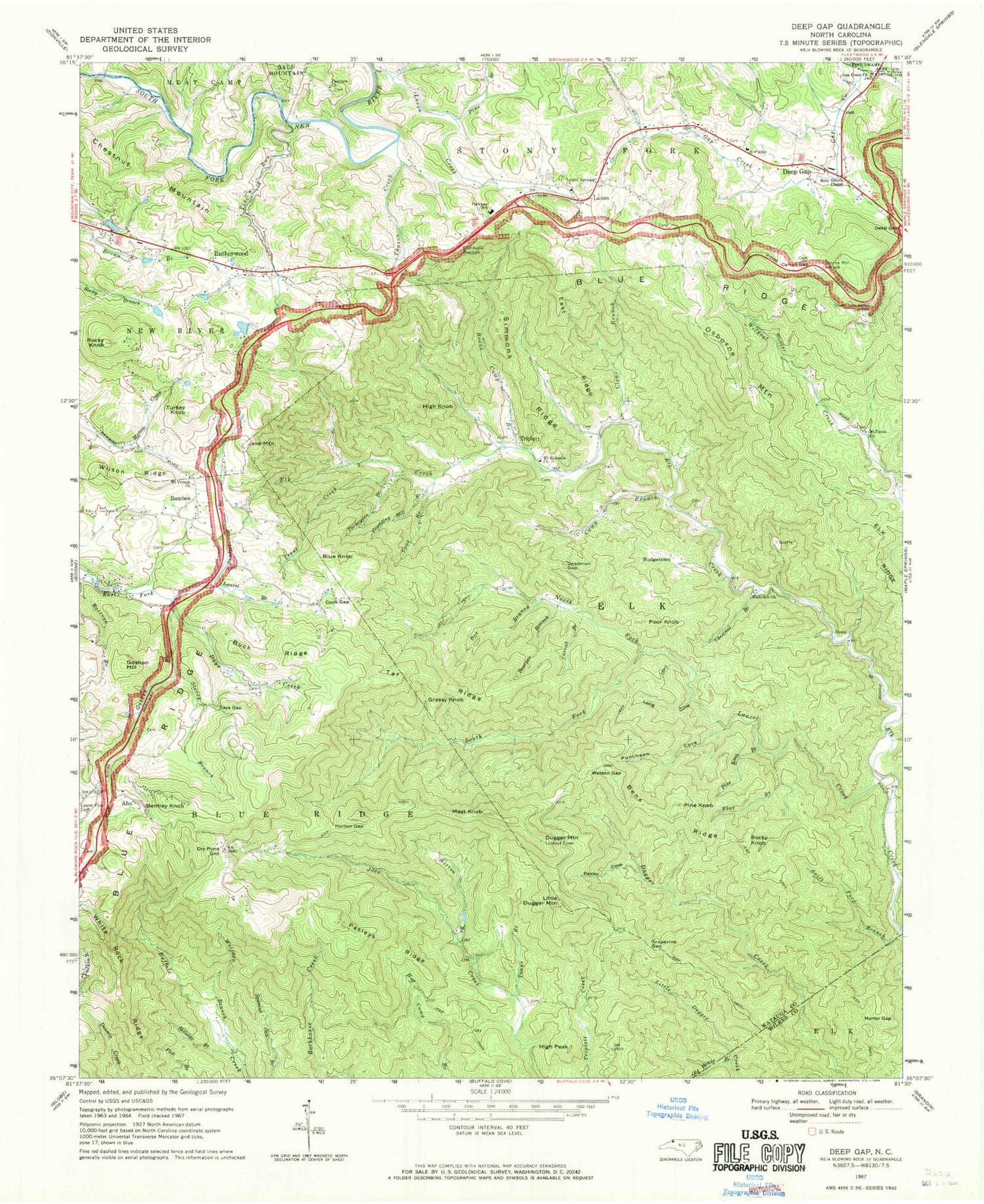
Classic USGS Deep Gap North Carolina 7.5'x7.5' Topo Map
Couldn't load pickup availability
Historical USGS topographic quad map of Deep Gap in the state of North Carolina. Map scale may vary for some years, but is generally around 1:24,000. Print size is approximately 24" x 27"
This quadrangle is in the following counties: Ashe, Watauga, Wilkes.
The map contains contour lines, roads, rivers, towns, and lakes. Printed on high-quality waterproof paper with UV fade-resistant inks, and shipped rolled.
Contains the following named places: Aho, Bamboo, Bamboo School, Bearpen Branch, Bee Branch, Bens Ridge, Bentley Knob, Blue Knob, Boone Camp Branch, Bright Penny Lake, Bright Penny Lake Dam, Browns Chapel, Buck Ridge, Camp Branch, Carroll Branch, Carroll Gap, Chestnut Branch, Chestnut Mountain, Clear Branch, Cook Branch, Cook Gap, Days Creek, Days Gap, Deadman Gap, Deep Gap, Deep Gap Fire Department, Deep Gap Post Office, Deep Gap School, Dry Pond Gap, Dugger Mountain, East Ridge, Elk Ridge, Elk School, Fairview Methodist Church, Flat Branch, Gap Creek Baptist Church, Goshen Branch, Goshen Hill, Grandview Overlook, Grapevine Gap, Grassy Knob, High Knob, High Peak, Hillside Branch, Hogetown, Holy Trinity Lutheran Church, Horton Branch, Horton Gap, Jake Mountain, Laurel Branch, Laurel Creek, Laurel Fork Cemetery, Laurel Springs Baptist Church, Laxon, Laxon Creek, Little Dugger Mountain, Long Cove, Lower Elk School, Martin Gap, Mast Knob, Meat Camp Creek, Mount Ephriam Baptist Church, Mount Paran Baptist Church, Mount Paran School, Mount Vernon Baptist Church, North Fork Laurel Creek, Old House Branch, Osborne Mountain, Osborne Mountain Overlook, Parkway Elementary School, Pasley Cove, Pasleys Ridge, Penley, Penley School, Pine Branch, Pine Knob, Pine Knob Branch, Pine Run, Poor Knob, Pounding Mill Branch, Powderhorn Mountain, Puncheon Cove, Raccoon Branch, Rockview Church, Rocky Knob, Rutherwood, Rutherwood Baptist Church, Rutherwood School, Sampson Mountain, Sandpit Branch, Simmons Ridge, South Fork Laurel Creek, Stewart Simmons Volunteer Fire Department, Stony Fork Valley Overlook, Storey Branch, Swift Ford Branch, Tar Ridge, Thaxon Creek, Tonys Branch, Township of Blue Ridge, Township of Elk, Township of Stony Fork, Triplett, Trout Creek, Trout Lake, Trout Lake Dam, Turkey Knob, Turkeypen Branch, Watson Gap, White Rock Ridge, Wolfden Branch, ZIP Code: 28618


