MyTopo
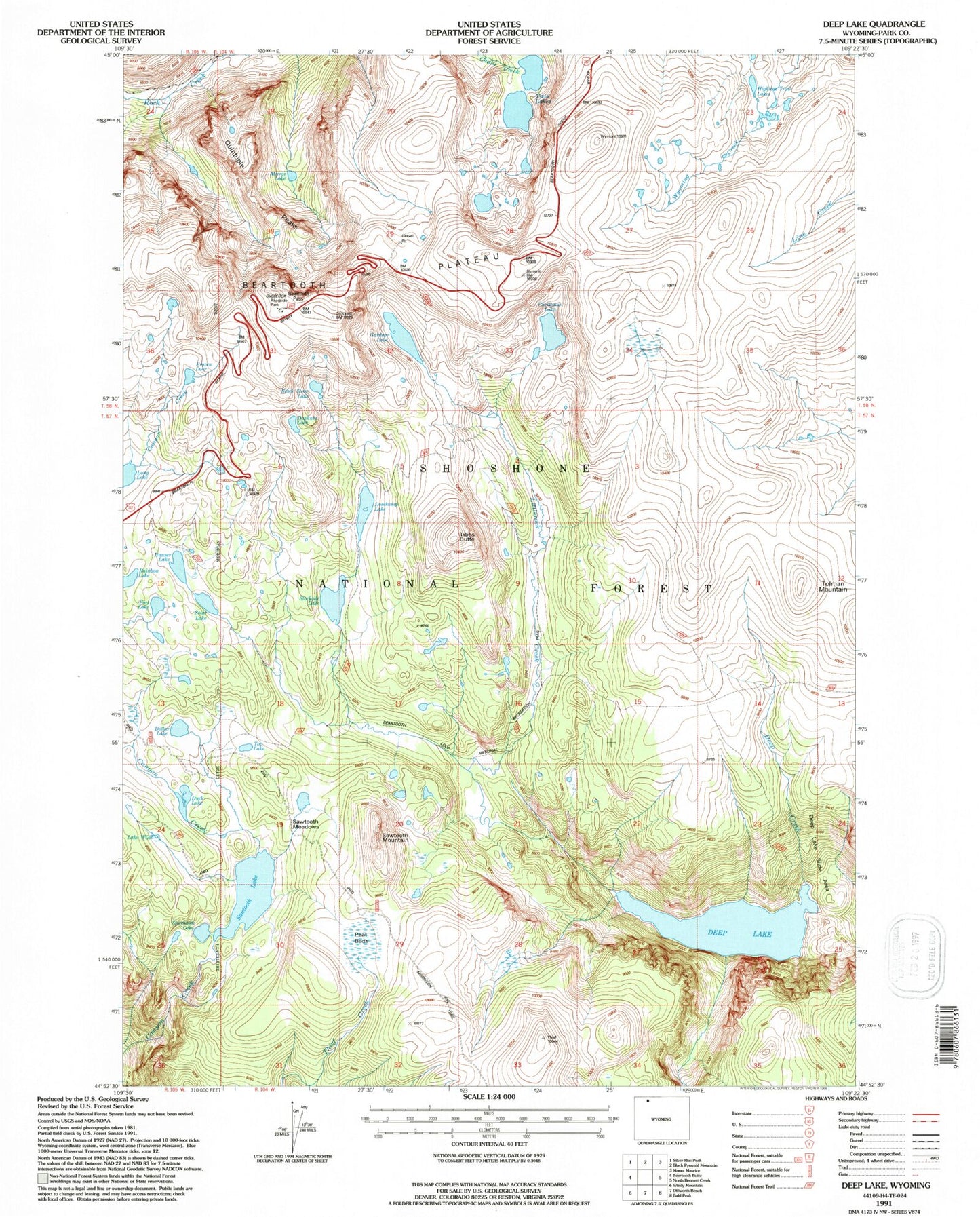
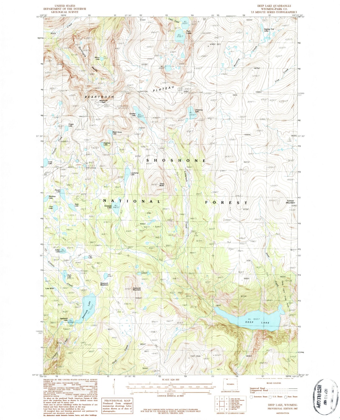
Classic USGS Deep Lake Wyoming 7.5'x7.5' Topo Map
Couldn't load pickup availability
Historical USGS topographic quad map of Deep Lake in the state of Wyoming. Typical map scale is 1:24,000, but may vary for certain years, if available. Print size: 24" x 27"
This quadrangle is in the following counties: Park.
The map contains contour lines, roads, rivers, towns, and lakes. Printed on high-quality waterproof paper with UV fade-resistant inks, and shipped rolled.
Contains the following named places: Beartooth Pass, Black Stone Lake, Christmas Lake, Daphnia Lake, Deep Creek, Deep Lake, Deep Lake Slide Area, Dollar Lake, Fort Lake, Frozen Lake, Gardner Lake, Hauser Lake, Highline Trail Lakes, Losekamp Lake, Mirror Lake, Quintuple Peaks, Sawtooth Lake, Sawtooth Meadows, Sawtooth Mountain, Solar Lake, Sparhawk Lake, Tibbs Butte, Tolman Mountain, Top Lake, Twin Lakes, Lake WGN, Camp Sawtooth, Beartooth Loop National Recreation Trail, Stockade Lake, Duck Lake, Tibbs Butte Mine


