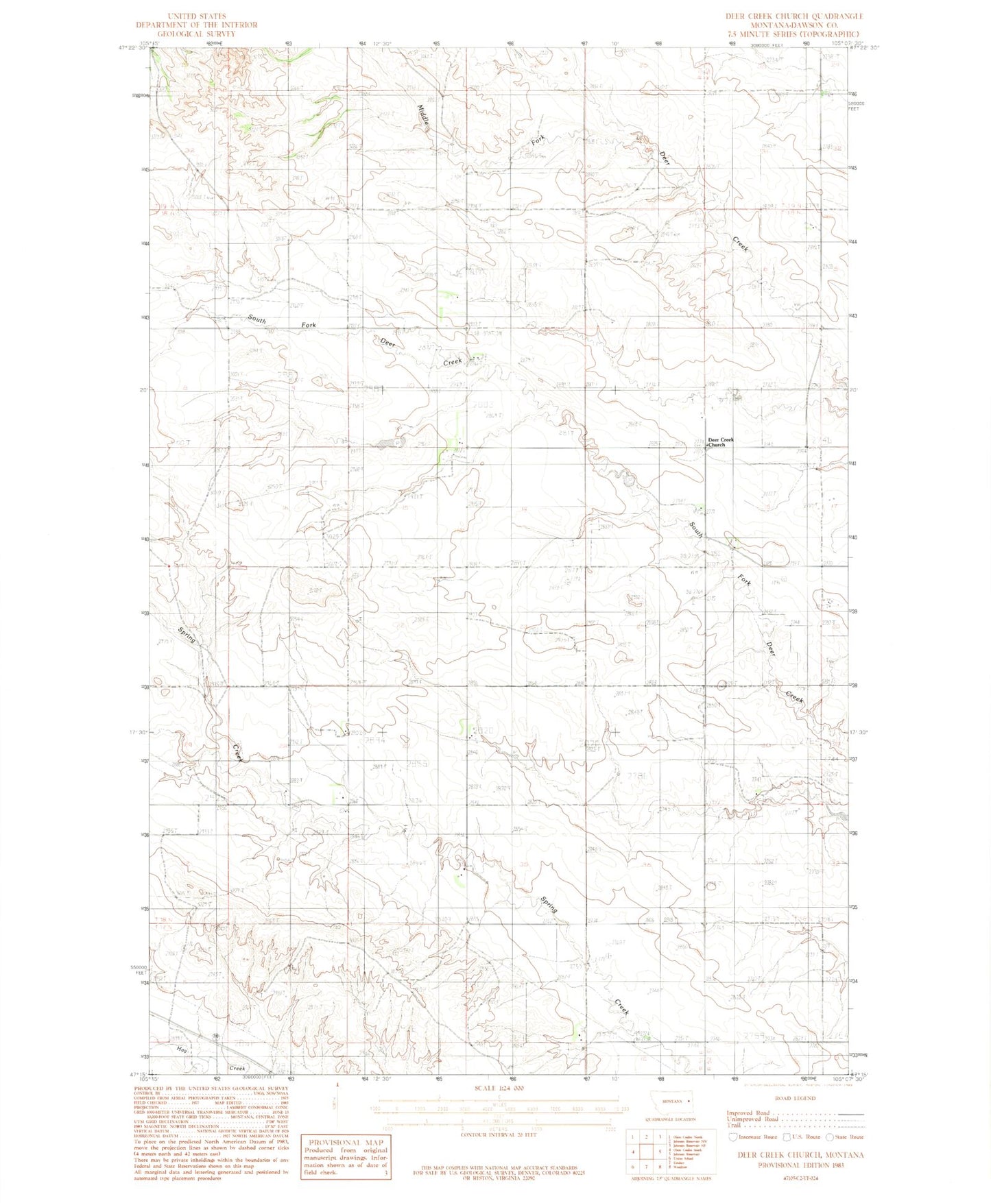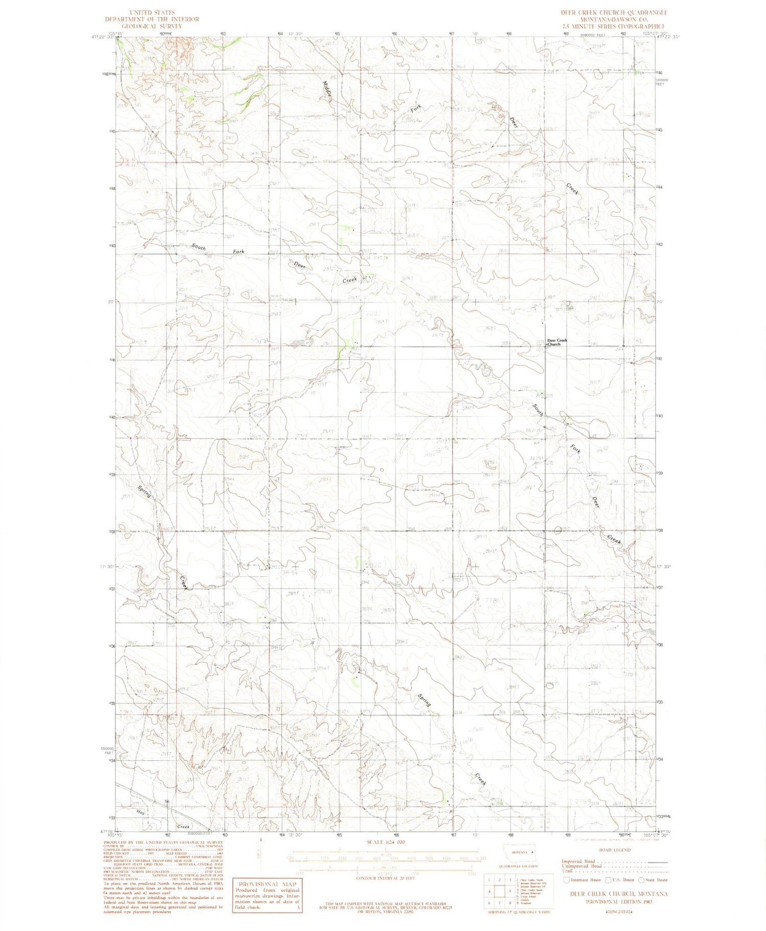
MyTopo
Classic USGS Deer Creek Church Montana 7.5'x7.5' Topo Map
Couldn't load pickup availability
Historical USGS topographic quad map of Deer Creek Church in the state of Montana. Map scale may vary for some years, but is generally around 1:24,000. Print size is approximately 24" x 27"
This quadrangle is in the following counties: Dawson.
The map contains contour lines, roads, rivers, towns, and lakes. Printed on high-quality waterproof paper with UV fade-resistant inks, and shipped rolled.
Contains the following named places: 17N51E02DDD_01 Well, 18N51E03DDA_01 Well, 18N51E13DAA_01 Well, 18N51E15CC__01 Well, 18N51E28DDD_01 Well, 18N51E34DAA_01 Well, 19N51E17DDA_01 Well, 19N51E35CAA_01 Well, 59339, Bickness School, Bradbury School, Centerville School, Deer Creek Church, Slagsvold School, Spring Valley School, West Church Cemetery