MyTopo
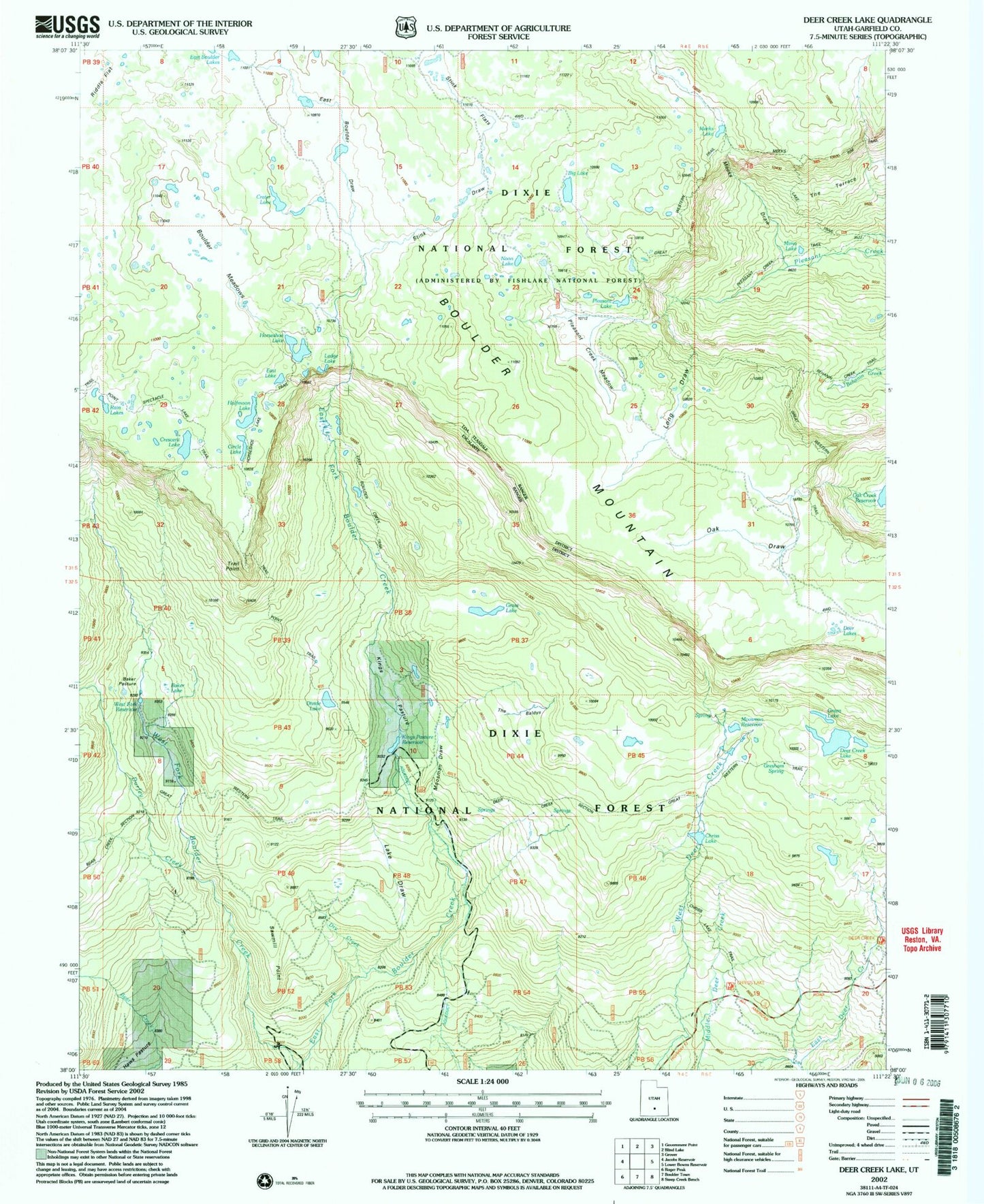
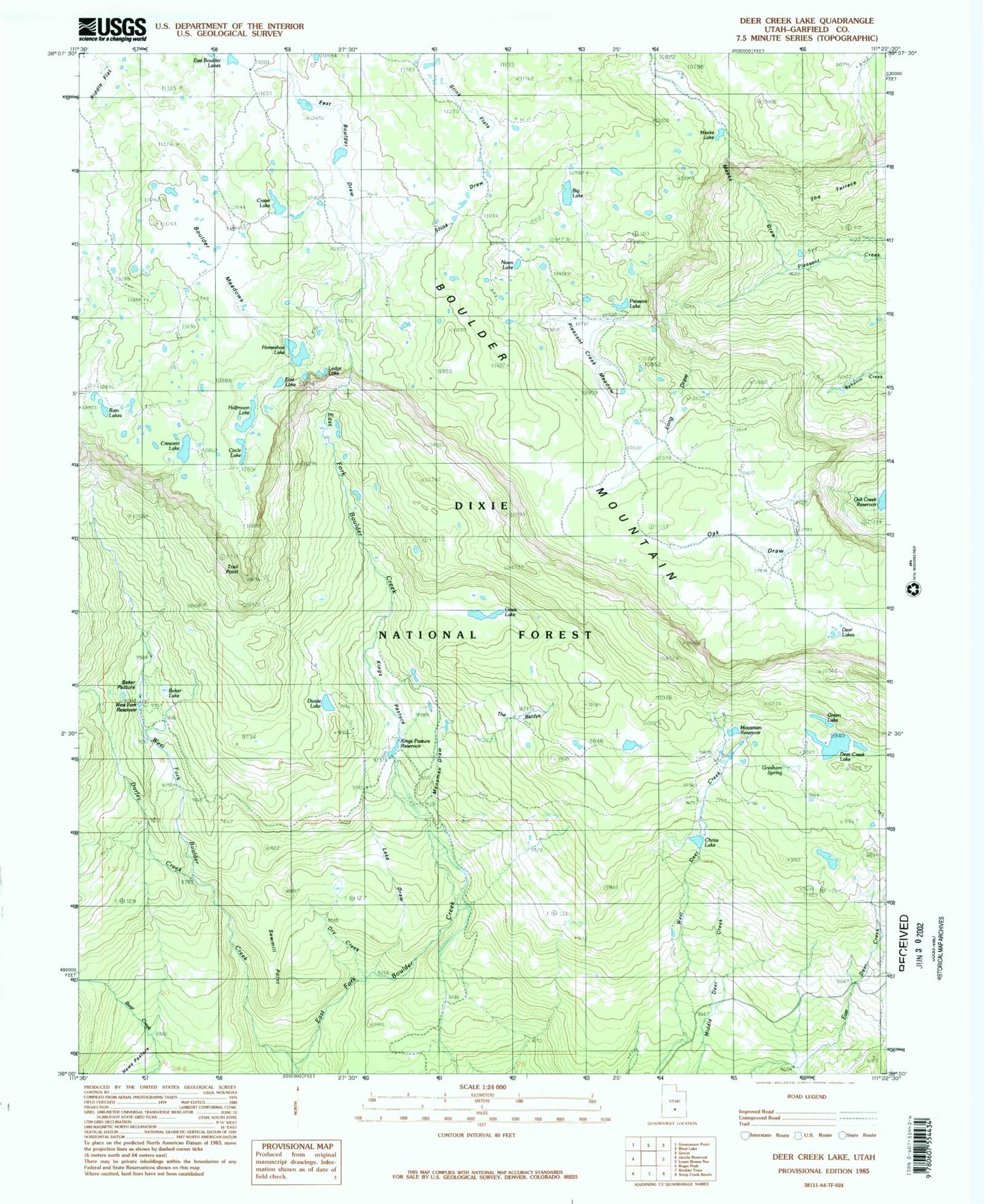
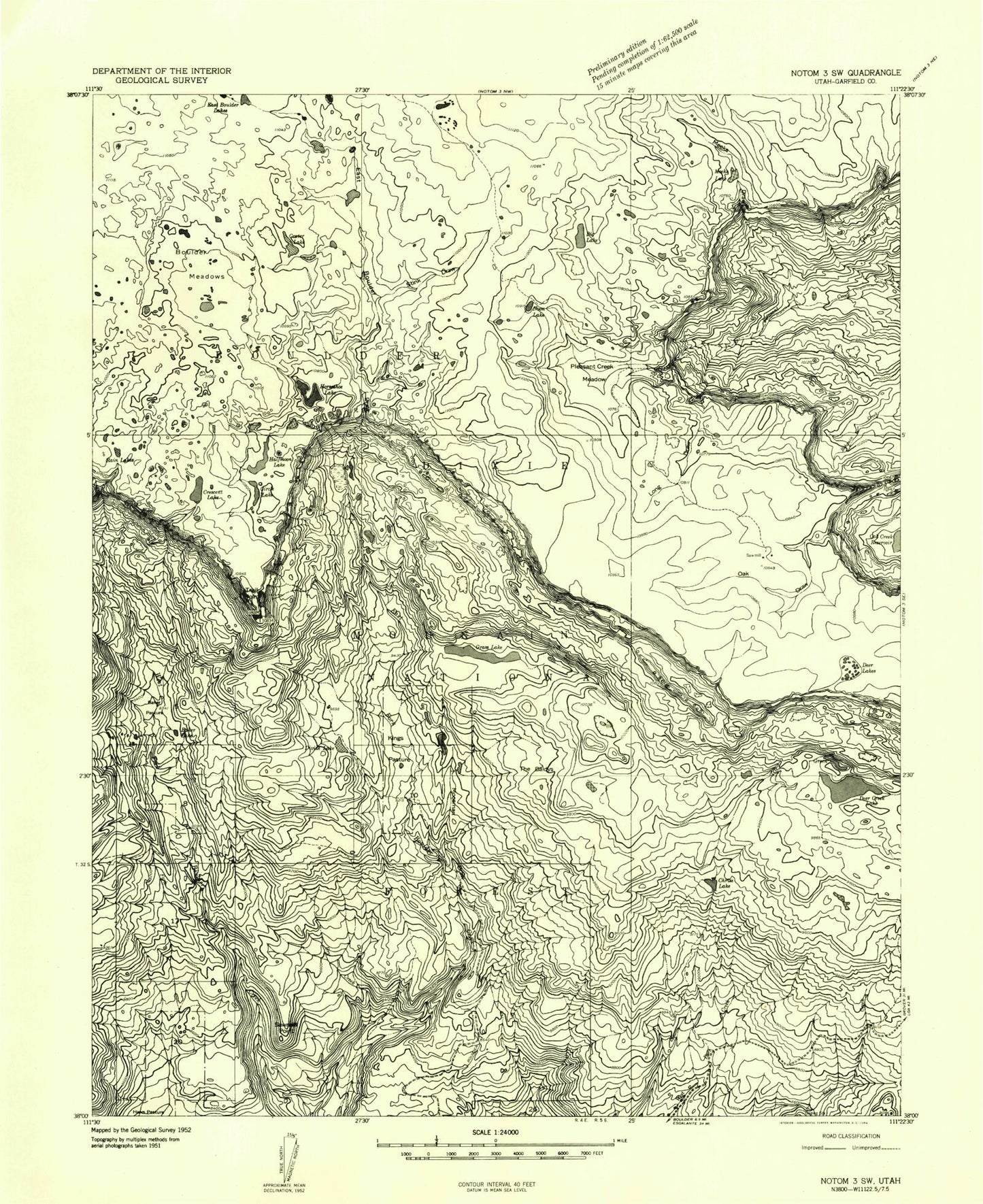
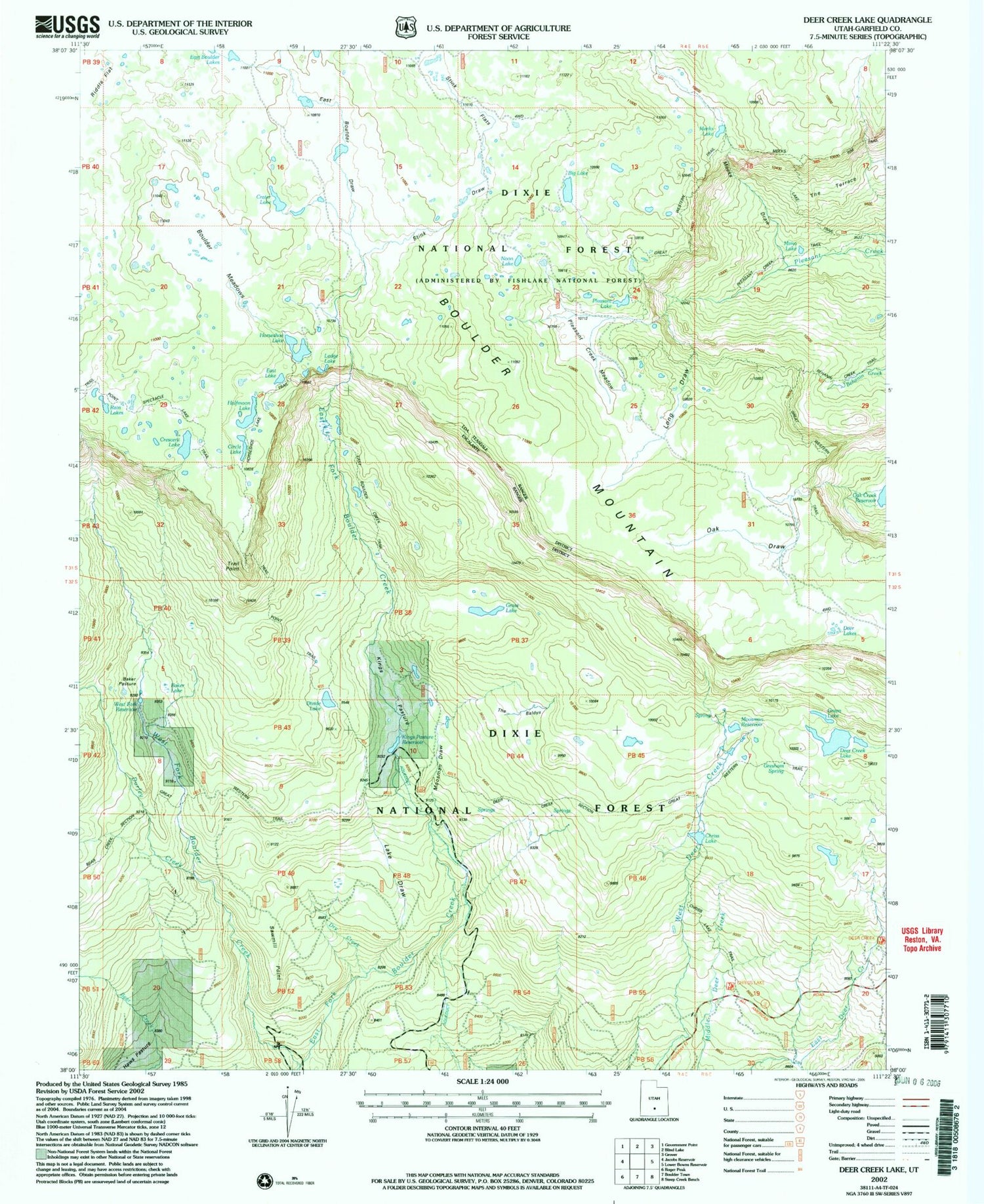
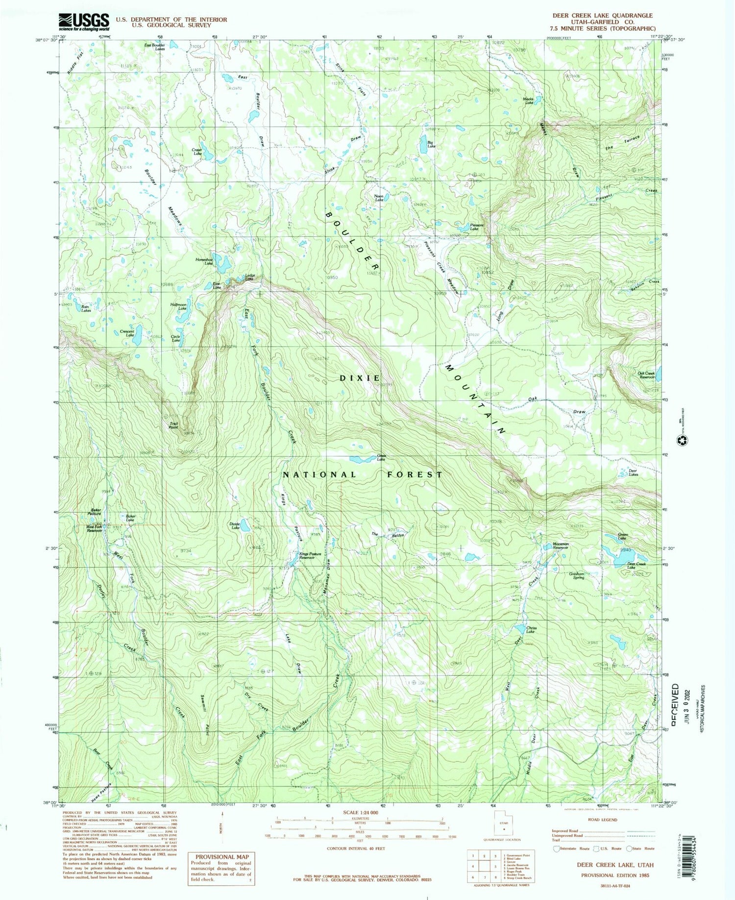
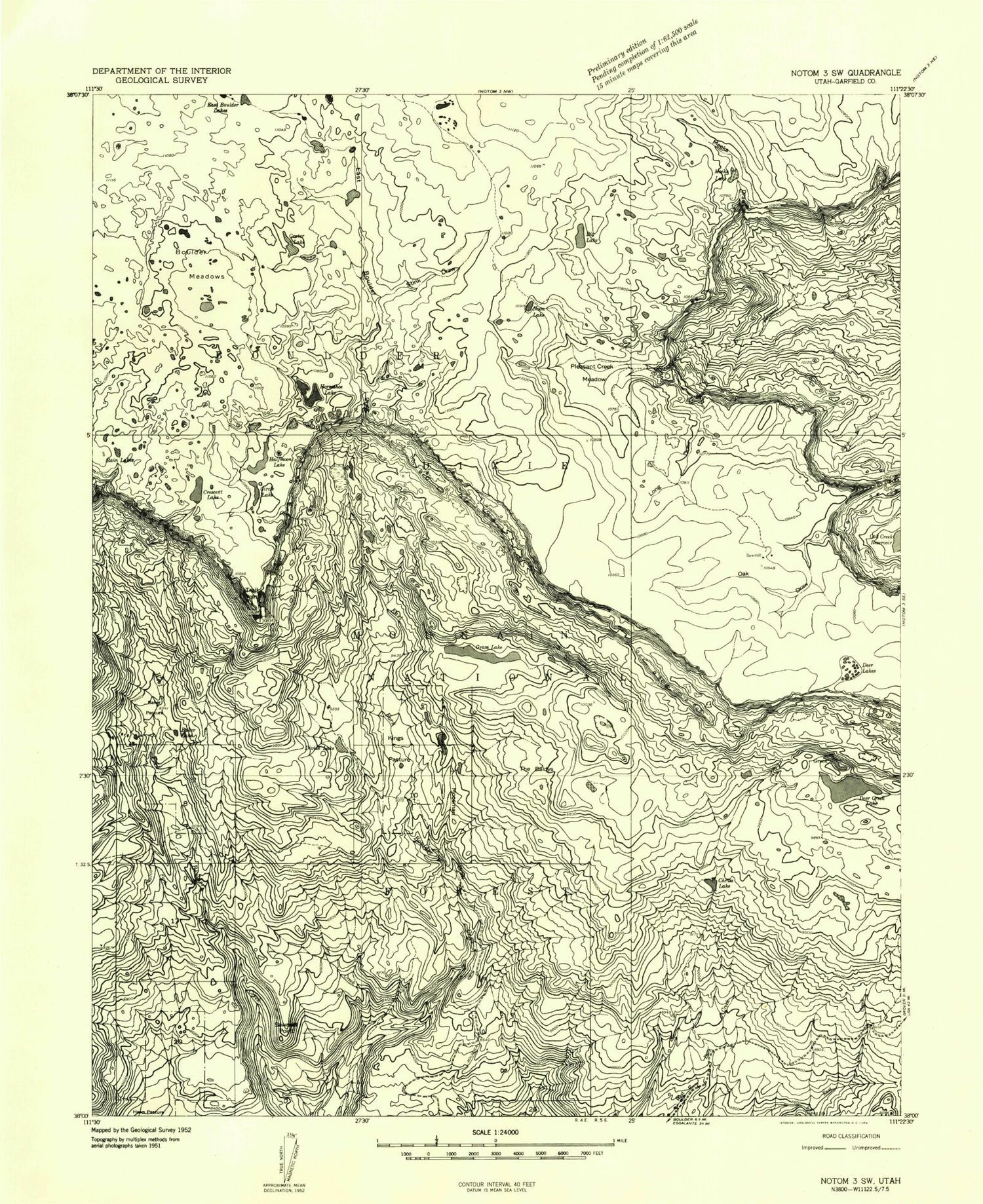
Classic USGS Deer Creek Lake Utah 7.5'x7.5' Topo Map
Couldn't load pickup availability
Historical USGS topographic quad map of Deer Creek Lake in the state of Utah. Typical map scale is 1:24,000, but may vary for certain years, if available. Print size: 24" x 27"
This quadrangle is in the following counties: Garfield.
The map contains contour lines, roads, rivers, towns, and lakes. Printed on high-quality waterproof paper with UV fade-resistant inks, and shipped rolled.
Contains the following named places: Baker Lake, Baker Pasture, Big Lake, Boulder Meadows, Circle Lake, Crater Lake, Cresecent Lake, Deer Creek Lake, Deer Lakes, Divide Lake, Durfey Creek, East Boulder Draw, East Boulder Lakes, East Fork Boulder Creek, Grass Lake, Green Lake, Halfmoon Lake, Horseshoe Lake, Kings Pasture, Long Draw, Meeks Draw, Meeks Lake, Moosman Draw, Noon Lake, Oak Draw, Pleasant Creek Meadow, Rain Lakes, Sawmill Point, Stink Draw, Stink Flats, The Baldys, Trail Point, West Fork Boulder Creek, Chriss Lake, Dry Creek, East Lake, Gresham Spring, Kings Pasture Reservoir, Moosman Reservoir, Pleasant Lake, West Fork Reservoir, Mima Lake, Ledge Lake, Sawmill, Lake Draw, Baker Lake, Baker Pasture, Big Lake, Boulder Meadows, Circle Lake, Crater Lake, Cresecent Lake, Deer Creek Lake, Deer Lakes, Divide Lake, Durfey Creek, East Boulder Draw, East Boulder Lakes, East Fork Boulder Creek, Grass Lake, Green Lake, Halfmoon Lake, Horseshoe Lake, Kings Pasture, Long Draw, Meeks Draw, Meeks Lake, Moosman Draw, Noon Lake, Oak Draw, Pleasant Creek Meadow, Rain Lakes, Sawmill Point, Stink Draw, Stink Flats, The Baldys, Trail Point, West Fork Boulder Creek, Chriss Lake, Dry Creek, East Lake, Gresham Spring, Kings Pasture Reservoir, Moosman Reservoir, Pleasant Lake, West Fork Reservoir, Mima Lake, Ledge Lake, Sawmill, Lake Draw
