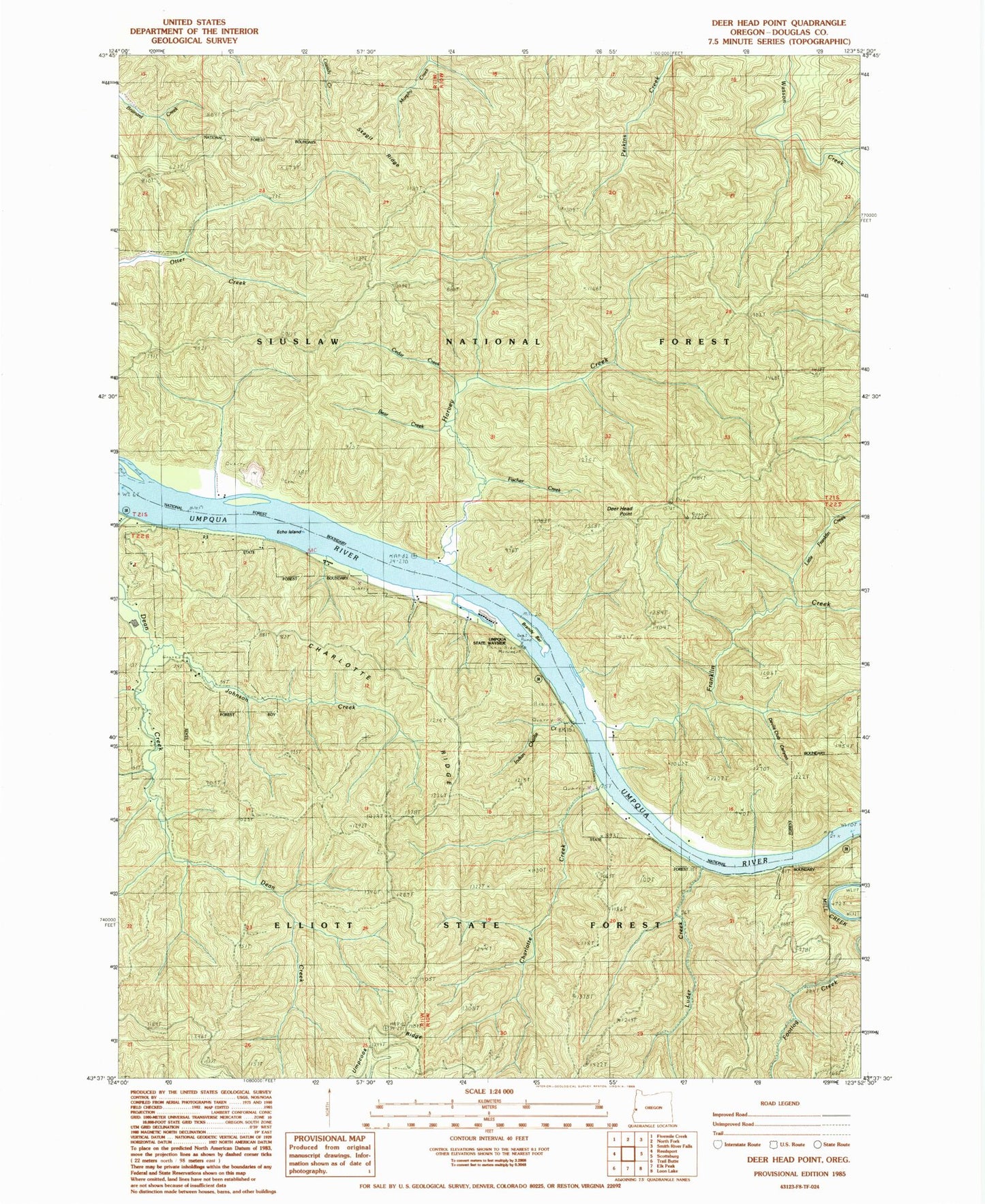
MyTopo
Classic USGS Deer Head Point Oregon 7.5'x7.5' Topo Map
Couldn't load pickup availability
Historical USGS topographic quad map of Deer Head Point in the state of Oregon. Map scale may vary for some years, but is generally around 1:24,000. Print size is approximately 24" x 27"
This quadrangle is in the following counties: Douglas.
The map contains contour lines, roads, rivers, towns, and lakes. Printed on high-quality waterproof paper with UV fade-resistant inks, and shipped rolled.
Contains the following named places: Bear Creek, Brandy Bar, Cedar Creek, Charlotte Creek, Charlotte Ridge, Deer Head Point, Devils Club Canyon, Devil's Staircase Wilderness, Echo Island, Fischer Creek, Franklin Creek, Harvey Creek, Indian Charlie Creek, Johnson Creek, Little Franklin Creek, Luder Creek, Lunch Ridge, Reedsport Division, Skagit Ridge, Umpqua State Scenic Corridor, Umpqua Wayside State Park