Want your exact spot centered?
Design a Custom Map

MyTopo
Classic USGS Deer Lake Washington 7.5'x7.5' Topo Map
Couldn't load pickup availability
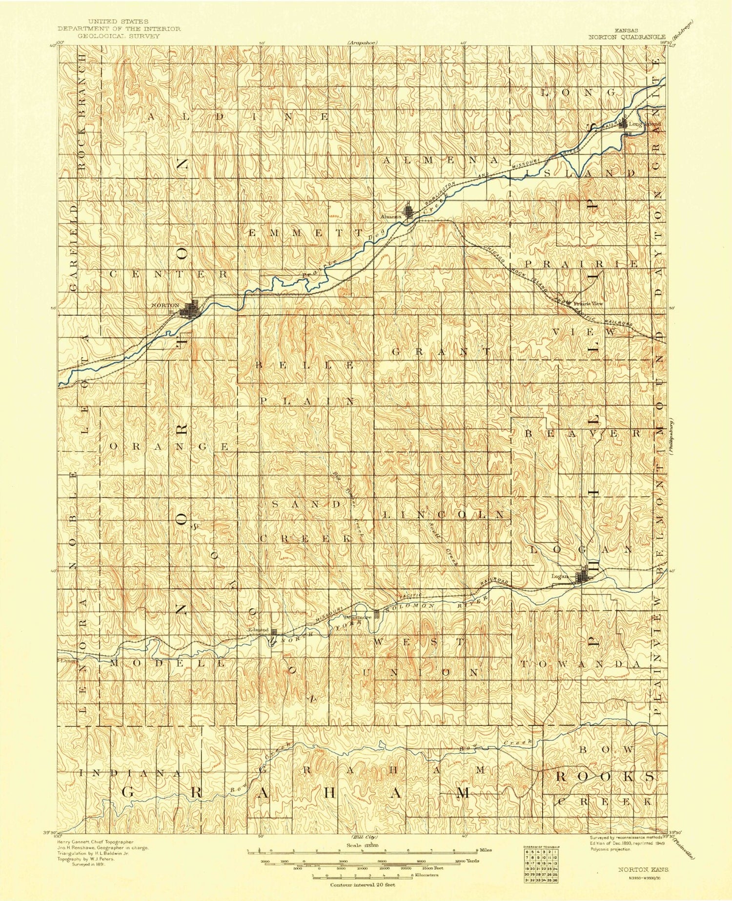
Historical USGS topographic quad map of Deer Lake in the state of Washington. Typical map scale is 1:24,000, but may vary for certain years, if available. Print size: 24" x 27"
This quadrangle is in the following counties: Spokane, Stevens.
The map contains contour lines, roads, rivers, towns, and lakes. Printed on high-quality waterproof paper with UV fade-resistant inks, and shipped rolled.
Contains the following named places: Blue Grouse Mountain, Deer Lake, Deer Lake Mountain, Little King Mines, Loon Lake, Loon Lake Mountain, Zion Hill Cemetery, Kedric Baker Dam, KAZZ-FM (Deer Park), Clayton Census Designated Place, Loon Lake Sewer District 4 Sewage Treatment Plant, Lakeside Church of Nazarene, Loon Lake Christian Fellowship Church, Stevens County Fire District 1 Station 5 - Deer Lake