
MyTopo
Classic USGS Deer Mountain Idaho 7.5'x7.5' Topo Map
Couldn't load pickup availability
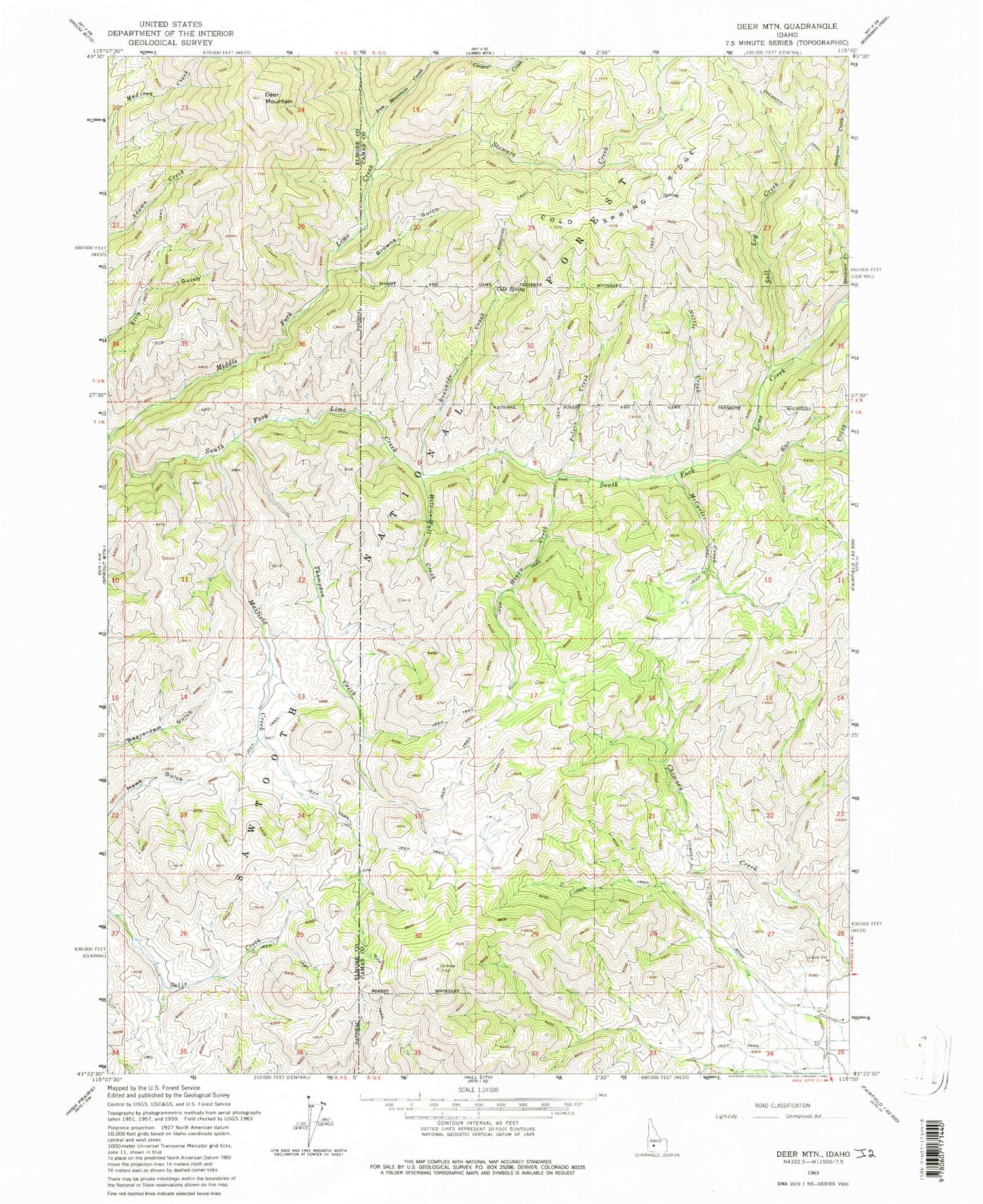
Historical USGS topographic quad map of Deer Mountain in the state of Idaho. Map scale may vary for some years, but is generally around 1:24,000. Print size is approximately 24" x 27"
This quadrangle is in the following counties: Camas, Elmore.
The map contains contour lines, roads, rivers, towns, and lakes. Printed on high-quality waterproof paper with UV fade-resistant inks, and shipped rolled.
Contains the following named places: Bremner Creek, Bremner Trail, Browns Gulch, Cold Spring, Cold Spring Ridge, Cooper Creek, Deer Mountain, Ear Creek, Hearn Creek, Hole-In Wall Creek, Iron Mountain Creek, Maxfield Creek, McCarter Creek, Nettle Creek, Polson Creek, Roanhide Creek, Salt Log Creek, Stewart Creek, Thompson Creek


