MyTopo
Classic USGS Deer Park Alabama 7.5'x7.5' Topo Map
Couldn't load pickup availability
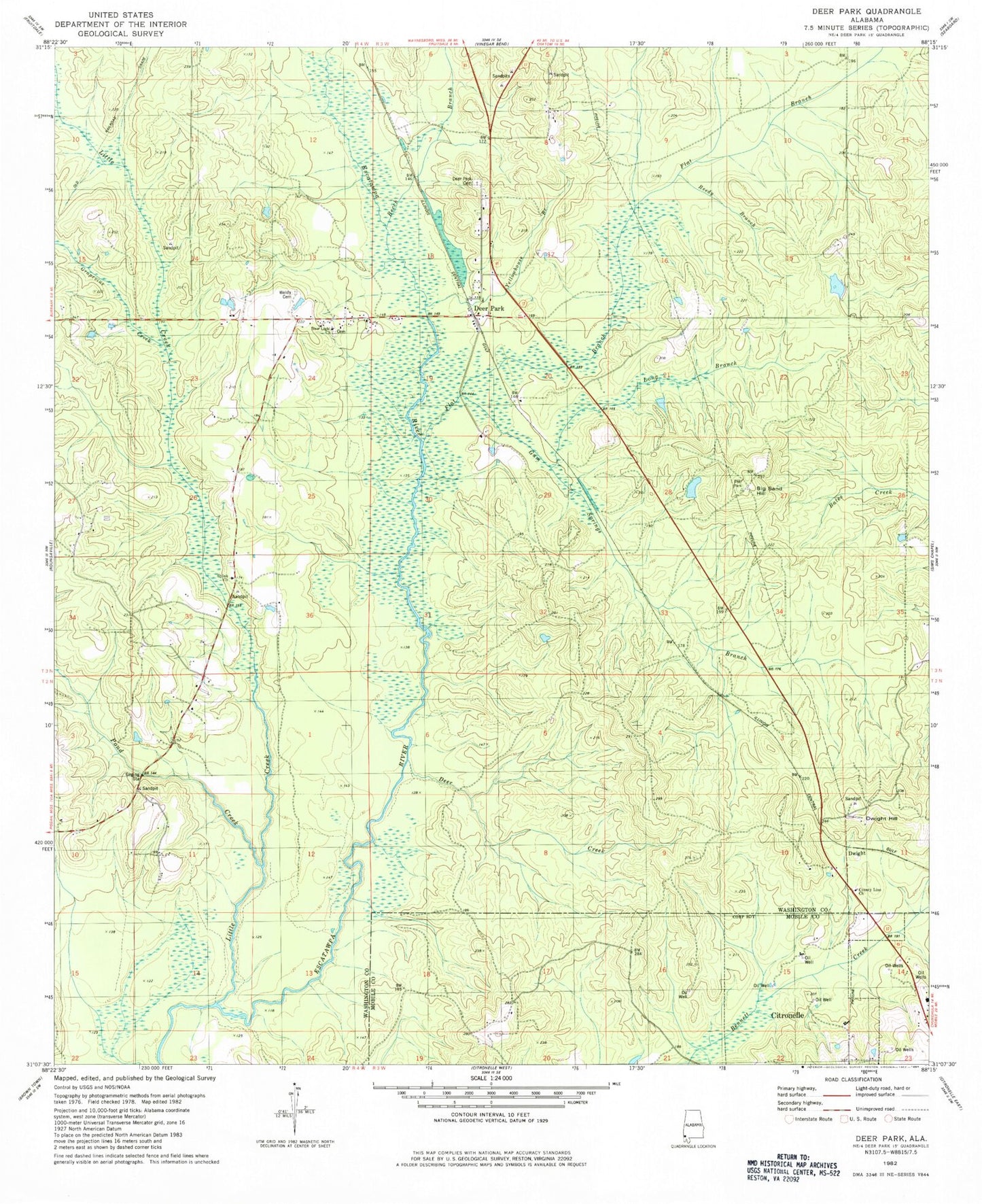
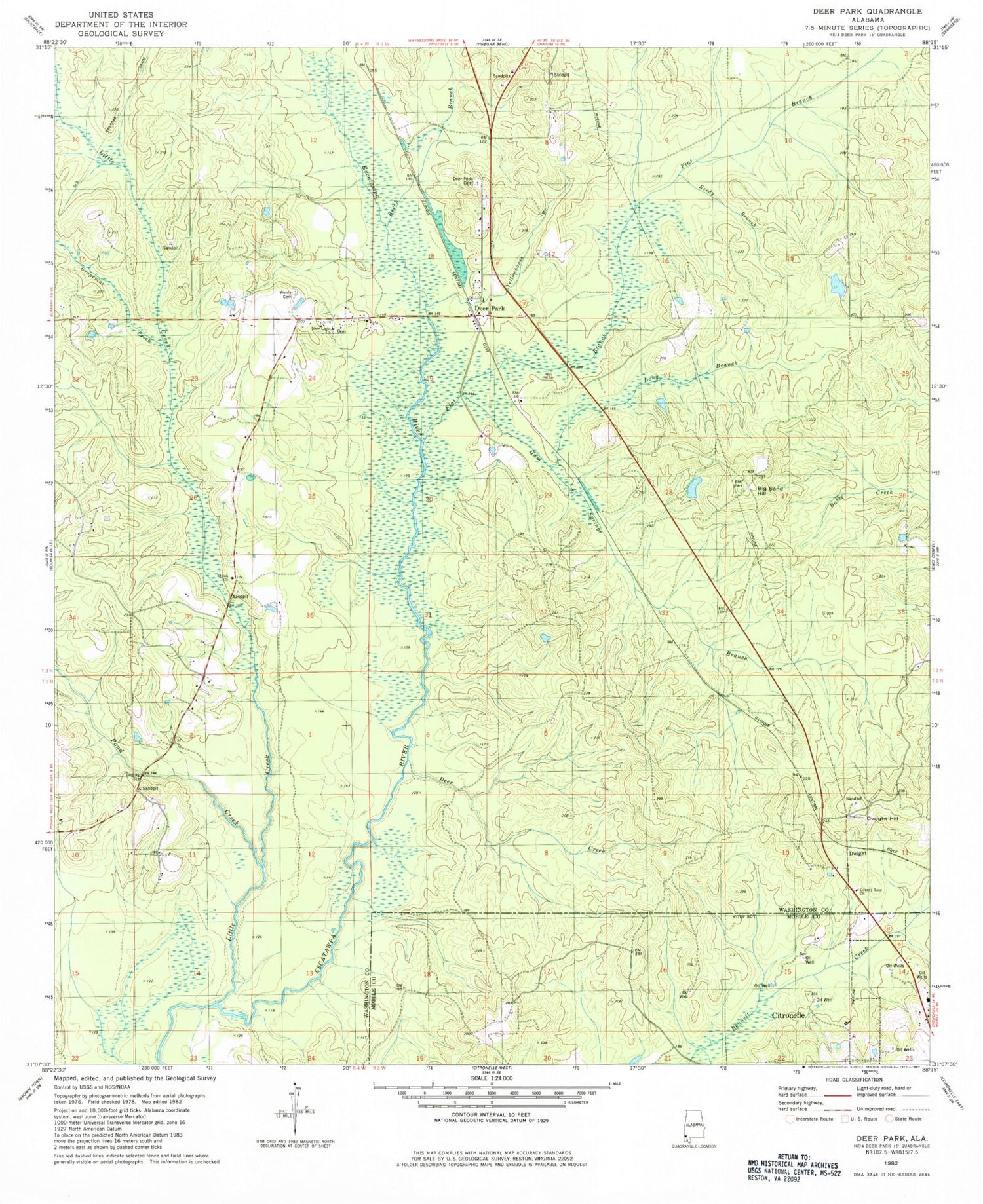
Historical USGS topographic quad map of Deer Park in the state of Alabama. Map scale may vary for some years, but is generally around 1:24,000. Print size is approximately 24" x 27"
This quadrangle is in the following counties: Mobile, Washington.
The map contains contour lines, roads, rivers, towns, and lakes. Printed on high-quality waterproof paper with UV fade-resistant inks, and shipped rolled.
Contains the following named places: Beech Branch, Big Sand Hill, County Line Cemetery, County Line Missionary Baptist Church, Deer Creek, Deer Park, Deer Park Cemetery, Deer Park Census Designated Place, Deer Park Junior High School, Deer Park Methodist Church, Deer Park Post Office, Deer Park School, Doctor Vincent Best Dam, Doctor Vincent Best Pond, Dwight, Dwight Hill, Flat Branch, Freilburg, Grapevine Creek, Gum Springs Branch, Little Creek, Long Branch, New Light Baptist Church, Pond Creek, Reedy Branch, Shiloh Baptist Church, Shiloh Cemetery, Vinegar Bend Volunteer Fire Department, Wade H Odom Dam, Wade H Odom Pond, Weldy Cemetery, Yellowhouse Branch