MyTopo
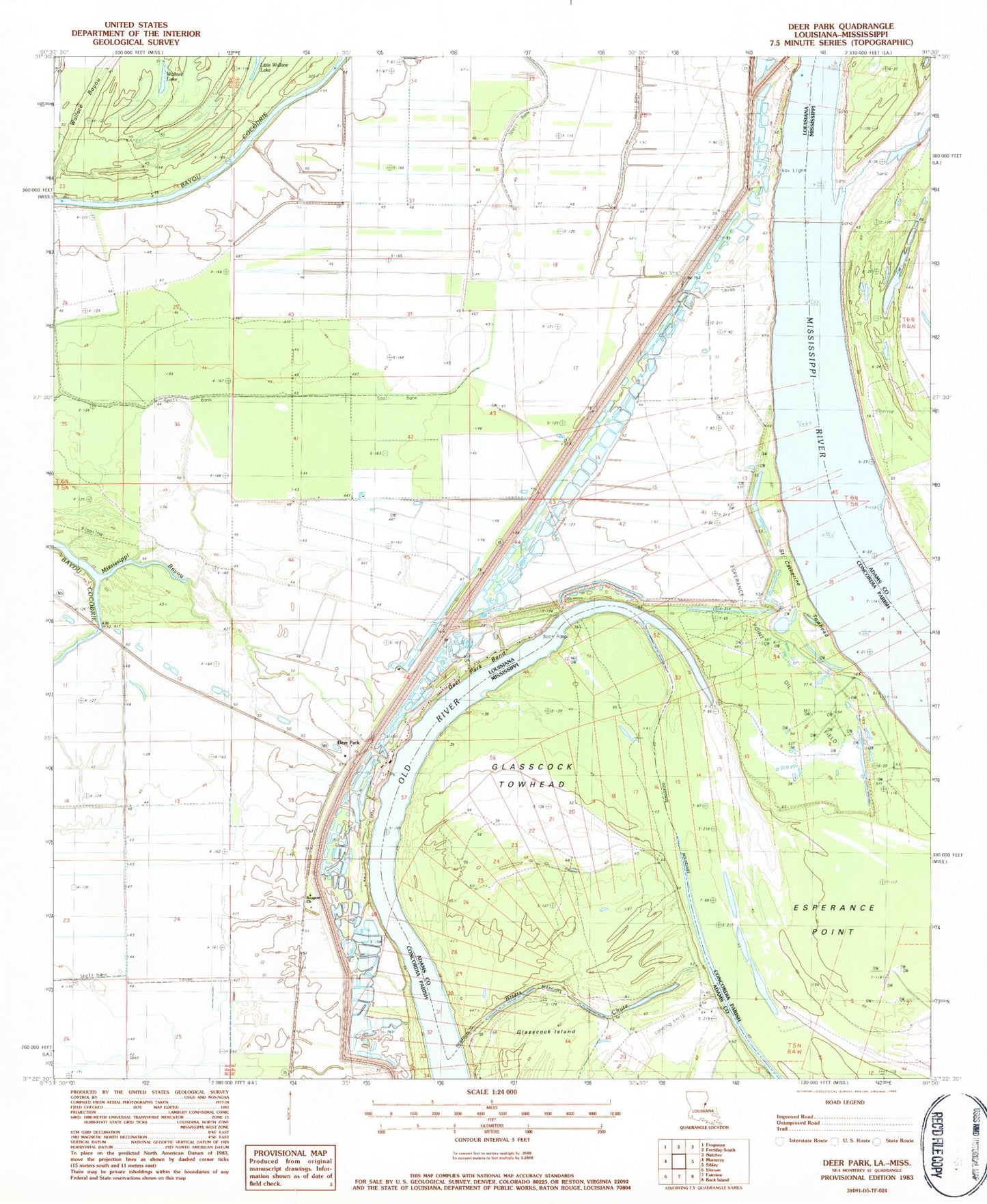
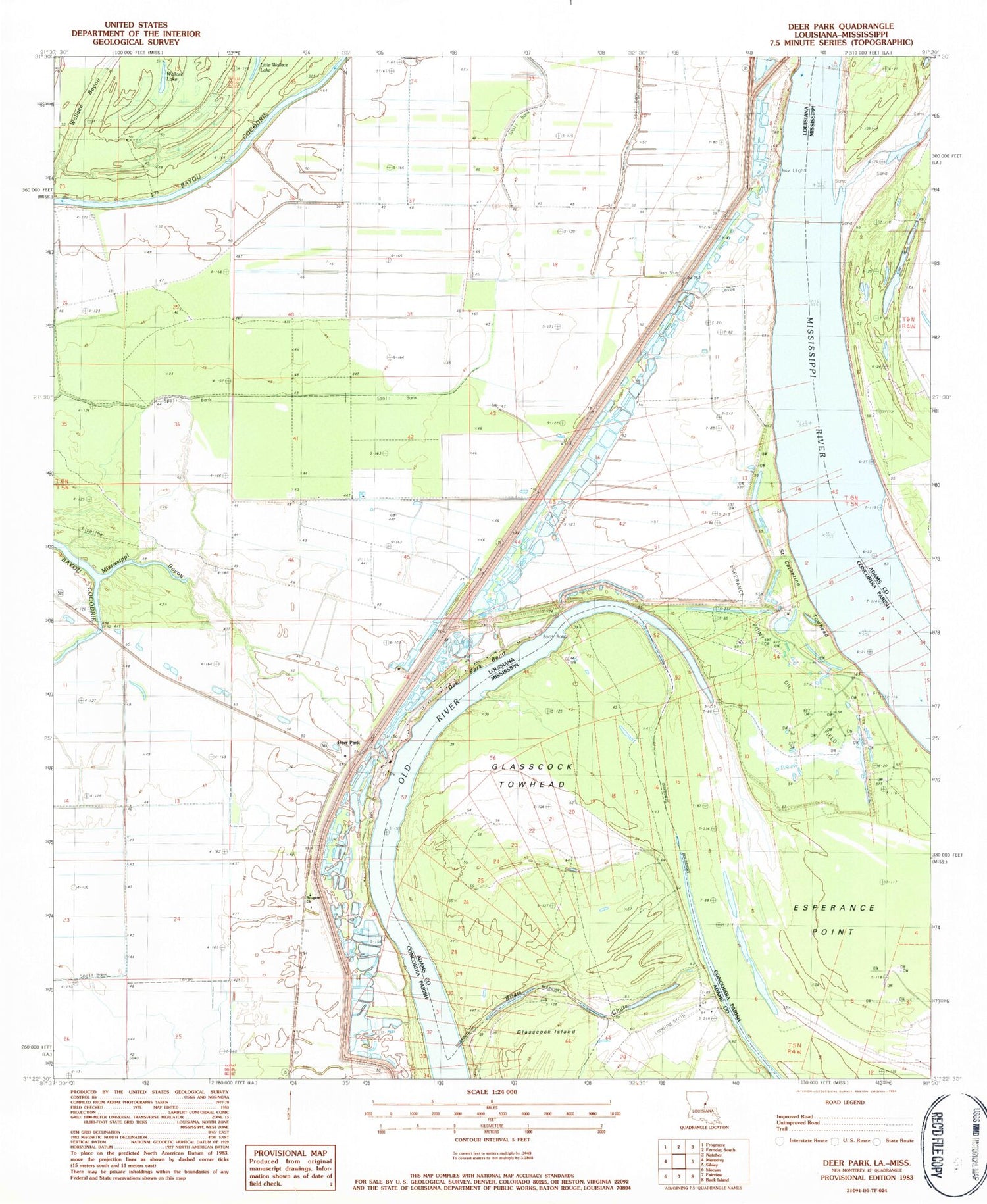
Classic USGS Deer Park Louisiana 7.5'x7.5' Topo Map
Couldn't load pickup availability
Historical USGS topographic quad map of Deer Park in the states of Louisiana, Mississippi. Typical map scale is 1:24,000, but may vary for certain years, if available. Print size: 24" x 27"
This quadrangle is in the following counties: Adams, Concordia.
The map contains contour lines, roads, rivers, towns, and lakes. Printed on high-quality waterproof paper with UV fade-resistant inks, and shipped rolled.
Contains the following named places: Briars Chute, Deer Park Oil Field, Esperance Point Oil Field, Mississippi Bayou, Saint Catherine Towhead, Saint James Church, Stonefield Church, Warnicott Oil Field, Bougere Church, Deer Park Bend, Old River, Southwest Deer Park Oil Field, Warnicott (historical), Ashley Landing, Ashley Plantation, Deer Park Bend Revetment, Fish Pond Landing, Fish Pond Plantation, Gilham Sawmill Spur (historical), Moro Landing, Moro Plantation, Morville Landing, Morville Plantation, Morville Revetment, Surgent Ashley Plantation, Union Church (historical), Warnicott Landing, Catherine Bend Revetment, Deer Park, Wallace Lake, Esperance Point, Briars Chute, Glasscock Towhead, Briar Landing, Briers (historical), Ford Landing (historical), Glasscock Towhead Oil Field, North Esperance Oil Field


