MyTopo
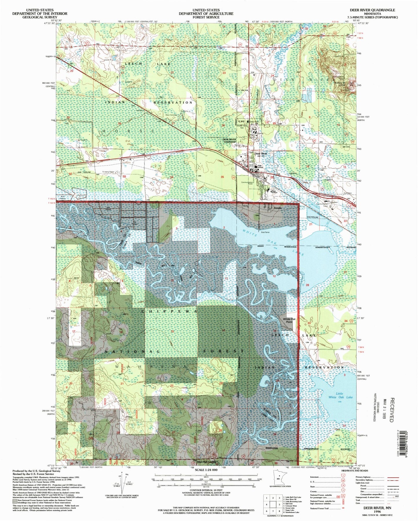
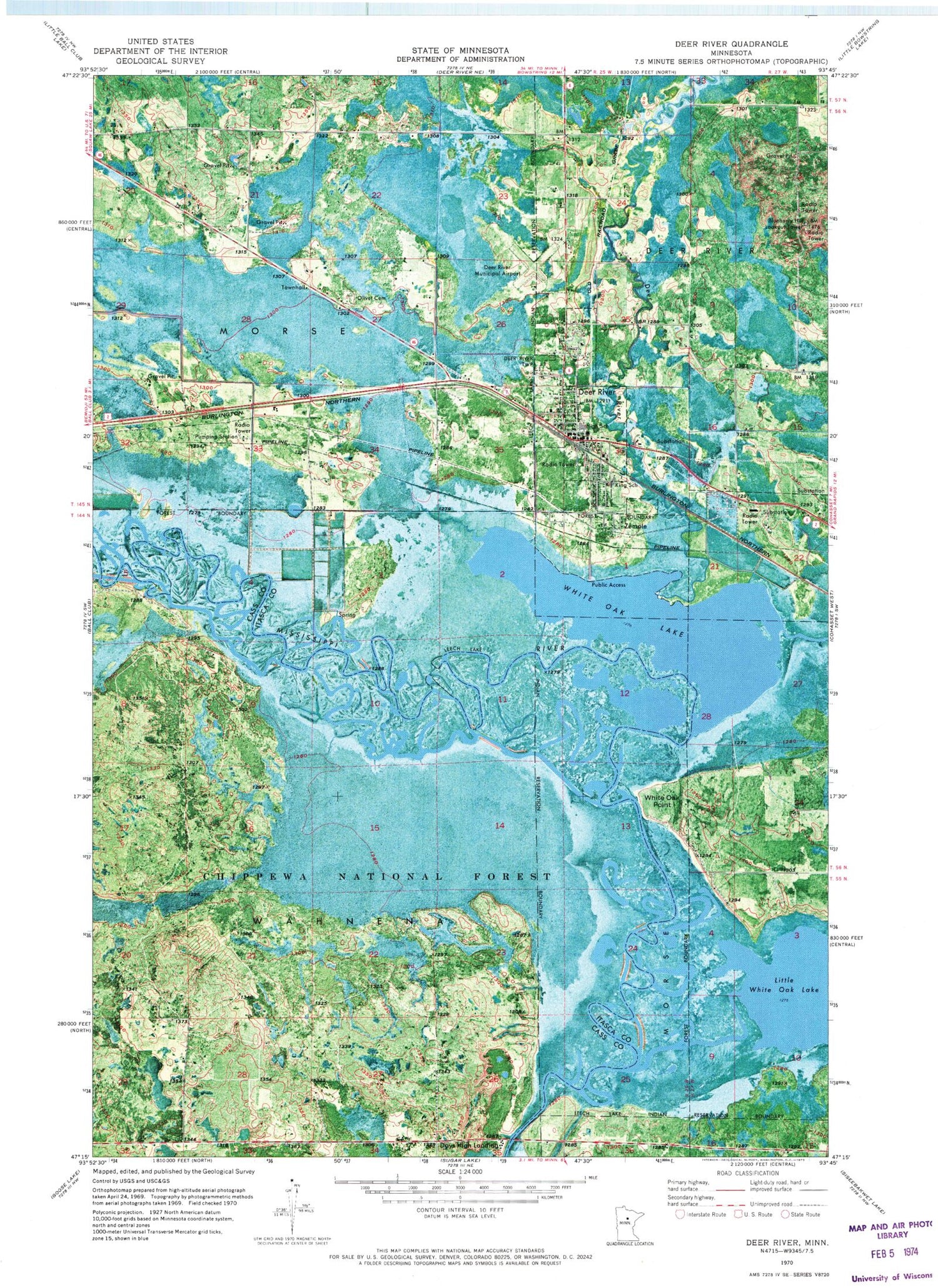
Classic USGS Deer River Minnesota 7.5'x7.5' Topo Map
Couldn't load pickup availability
Historical USGS topographic quad map of Deer River in the state of Minnesota. Map scale may vary for some years, but is generally around 1:24,000. Print size is approximately 24" x 27"
This quadrangle is in the following counties: Cass, Itasca.
The map contains contour lines, roads, rivers, towns, and lakes. Printed on high-quality waterproof paper with UV fade-resistant inks, and shipped rolled.
Contains the following named places: Bethany Lutheran Church, Blueberry Hill Lookout Tower, Blueberry Hills Golf Course, City of Deer River, City of Zemple, Days High Landing, Deer River, Deer River Ambulance, Deer River Bible Church, Deer River Church of God, Deer River District Ranger Office, Deer River Fire Department, Deer River High School, Deer River Municipal Airport, Deer River Police Department, Deer River Post Office, Deer River Wayside Park, Duluth Clinic - Deer River, Essentia Health - Deer River, Evangelical Covenant Church, Homestead Nursing Home, King Elementary School, Liston Evergreen Mobile Home Park, Little White Oak Lake, Olivet Cemetery, Redeemer Lutheran Church, Richard R Shadley Memorial Cemetery, Saint Augustine Church, Saint Mary's Church, Township of Morse, Township of Wahnena, United Methodist Church, Unorganized Territory of Wahnena, White Oak Lake, White Oak Point, Zemple