
MyTopo
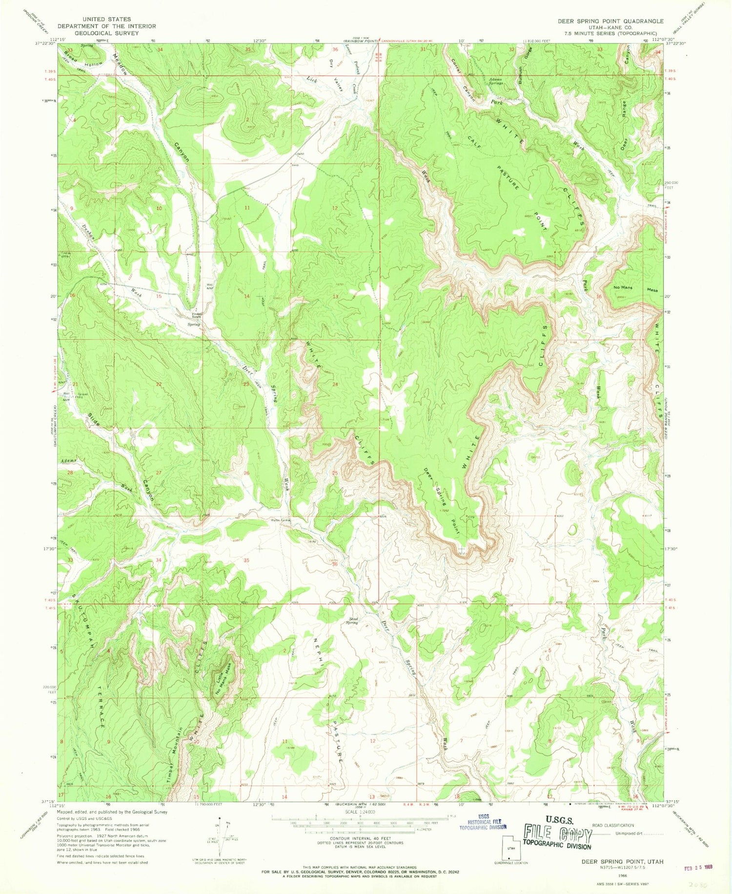
Classic USGS Deer Spring Point Utah 7.5'x7.5' Topo Map
Couldn't load pickup availability
Historical USGS topographic quad map of Deer Spring Point in the state of Utah. Map scale may vary for some years, but is generally around 1:24,000. Print size is approximately 24" x 27"
This quadrangle is in the following counties: Kane.
The map contains contour lines, roads, rivers, towns, and lakes. Printed on high-quality waterproof paper with UV fade-resistant inks, and shipped rolled.
Contains the following named places: Adams Springs, Adams Wash, Broad Hollow, Bullrush Gorge, Calf Pasture Point, Coal Canyon, Corral Canyon, Deer Range Canyon, Deer Spring Point, Deer Springs Ranch Airport, Dunhan Wash, Findlay Ranch, Lick Wash, Little No Mans Mesa, Lower Podunk Creek, Meadow Canyon, Sand Spring, Slide Canyon


