MyTopo
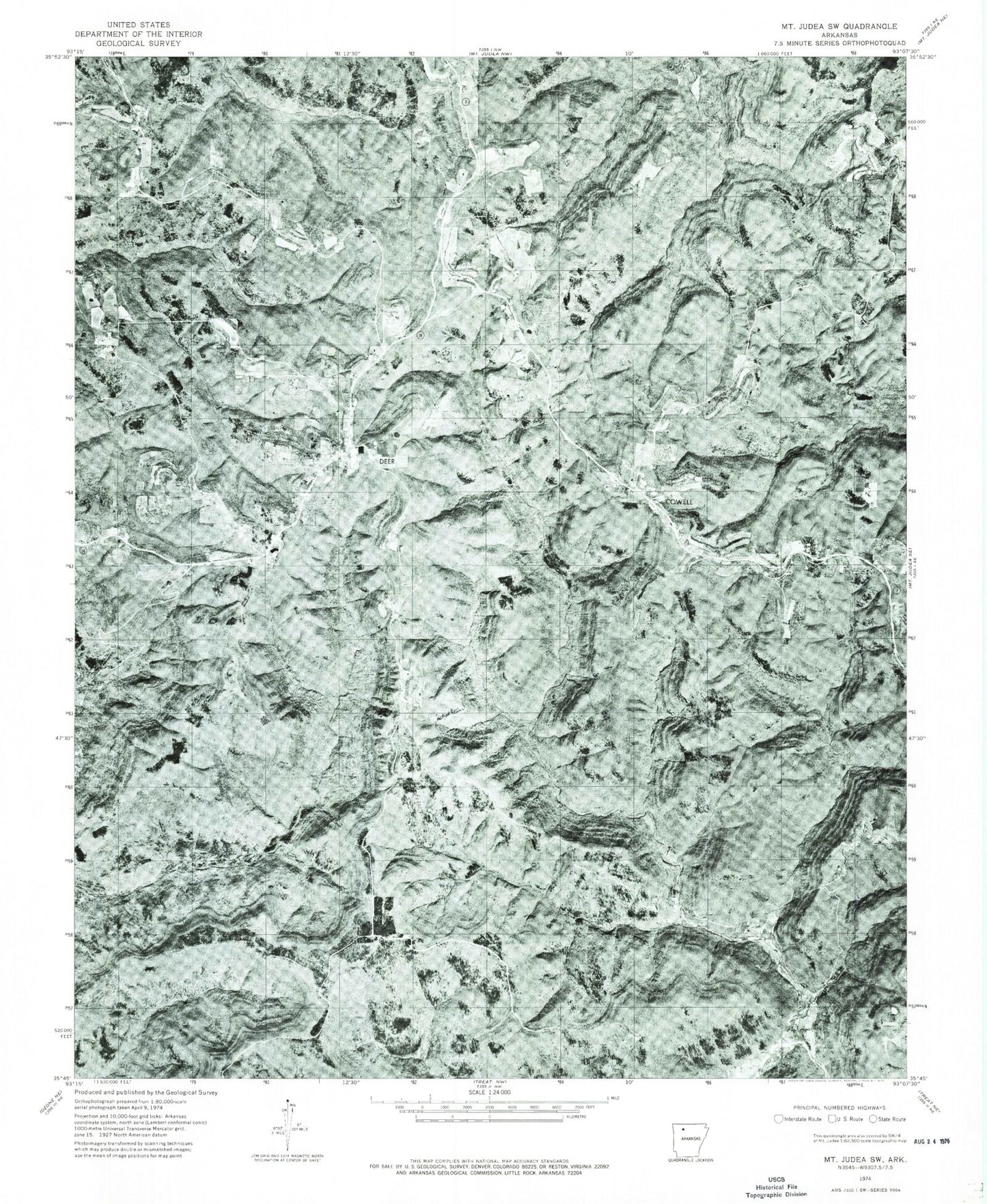
Classic USGS Deer Arkansas 7.5'x7.5' Topo Map
Couldn't load pickup availability
Historical USGS topographic quad map of Deer in the state of Arkansas. Typical map scale is 1:24,000, but may vary for certain years, if available. Print size: 24" x 27"
This quadrangle is in the following counties: Newton.
The map contains contour lines, roads, rivers, towns, and lakes. Printed on high-quality waterproof paper with UV fade-resistant inks, and shipped rolled.
Contains the following named places: Alum Cove Natural Bridge, Alum Cove Natural Bridge Recreation Area, Sandy Springs Hollow, Deer Church, Deer Cemetery, Hurricane Knob, Slusher Creek, Stone Mountain Church, Lambdin Hollow, Assembly of God Church, Pleasant Hill, Township of Pleasant Hill, Township of Union (historical), Deer Elementary School, Deer High School, Buck Branch, Wolf Creek, Chancel, Cowell, Cub Creek, Deer, Henderson Mountain, Lonesome Hollow, Long Ridge, Mill Creek, Millsaps Knob, Norton Gap, Owens Mountain, Parker Ridge, Slusher Hollow, Davis Knob, Cove Branch, Alum Cove National Recreation Trail, Alum Cove Natural Bridge Recreation Area, Linn Creek, Deer Church, Deer Work Center, Assembly of God Church, Mineral Spring School (historical), Little Buffalo Creek, Deer Fire Tower, Deer Post Office, Deer Rural Fire Department, Deer Census Designated Place